Cemetery
Red Cross, Beech Trail and Long Path Loop from Lake Skannatati
This hike explores a less-used area of the park, passing an historic mine and a small cemetery, and following several attractive brooks.
Proceed north on N.J. Route 17 to the New York State Thruway (I-87) north and take the first exit, Exit 15A (Sloatsburg). Turn left at the bottom of the ramp onto N.Y. Route 17 north, and continue through the Village of Sloatsburg. Just past the village, turn right at the traffic light, following the sign for Seven Lakes Drive/Harriman State Park. Follow Seven Lakes Drive for about 8 miles to the parking area for Lake Skannatati, on the left side of the road. The turnoff to the parking area is 0.7 mile beyond the Kanawauke Circle.
Although it includes several moderate climbs, this hike, for the most part, follows relatively level trails through a section of Harriman State Park that most hikers rarely visit.
Long Path/Bike Path Loop from Landing Road

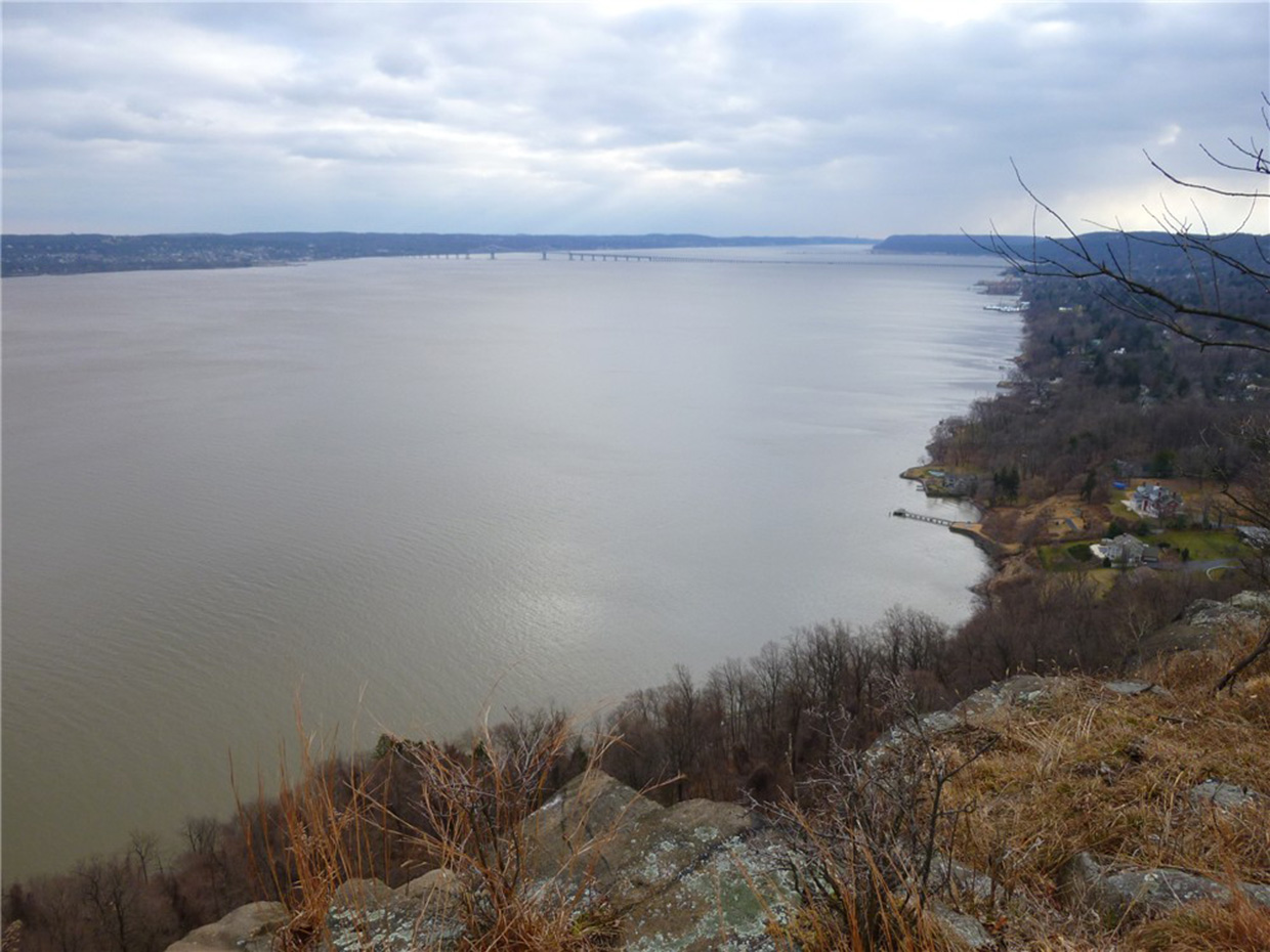
This loop hike follows the ridge of Hook Mountain, with many views, and returns via a bike path along the Hudson River.
Take the Palisades Interstate Parkway north to Exit 4, and turn left at the bottom of the ramp onto US 9W. Continue north on US 9W for about 10 miles (2.6 miles beyond the intersection with NY 59 in Nyack). At the bottom of a hill, turn right and enter Rockland Lake State Park. Continue ahead on the main park road, which curves to the right, and proceed for 1.5 miles to a three-way intersection. Here, the main road bears left, but you should continue ahead onto Landing Road (marked by a “No Outlet” sign). After passing a fire station on the right, park in the spaces provided along the road, just before a barricade across the road.
The aqua-blazed Long Path -- which will be your route for the first part of the hike -- crosses the road near the barricade. Follow the Long Path to the north (left) as it begins to climb the ridge of Hook Mountain. In a short distance, you'll notice an old cemetery (the Wells Family Burial Ground) behind an iron fence on the right, with gravestones dating to the 1840s. You'll want to stop and take a look at this interesting feature.
Estell Manor Park

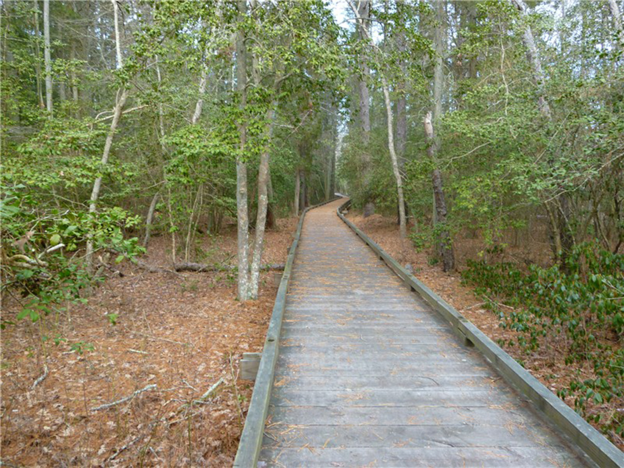
Hike on level packed sand roads along ruins of a glassworks from the 1800’s and World War I munitions factories with bird viewing opportunities at ponds and fields. Cross a 1.8-mile boardwalk over swamps to views of the South River, an old cemetery and an Artesian well.
Garden State Parkway South exit 44; right on Route 575; continue for almost 6 miles. Right on Black Horse Pike briefly cross through intersection then right on jug handle to Route 40 West; continue on Route 40 West for 4.9 miles. At stop light at T-intersection at Mays Landing Marina, turn left on 40 West/50 South briefly then left on Mill Street/Route 50 South for 3.7 miles to park entrance on left.
Be sure to pick up a copy of the map at the Nature Center. Trails are named on the map but intersections are not always identified with trail names. Trails are all blazed with identical white diamond metal markers on trees. If hiking during shotgun hunting season, hike on Sundays, or call the park in advance to see if trails are open, as most of this hike is not accessible on hunting days due to trail closure.
[ 0.00] Right on paved path at far side of nature center; right at split; right at second split on Pond Trail (unmarked) with pond on right
[ 0.30] Straight on Pond Trail when Laurel Trail goes left (marked); trail comes in from right; picnic area on right; veer left over bridge; keep right at intersection other side of bridge
[ 0.50] Keep left at split rail fence where bridge goes to the right and ruins ahead; fitness trail begins (called Exercise Trail on map)
[ 0.60] Right at intersection (Center Trail - unmarked); cross paved park road, proceed straight (sign with trail names at park road intersection)
[ 0.75] Turn left to observation deck at Stephen's Creek; retrace steps
[ 0.95] Cross paved park road; continue straight to right on fitness trail
[ 1.55] Right at intersection; cross paved park road; veer left briefly then right on Oak Barrel Tree Road (unmarked) trail
[ 1.75] Turn left at intersection (#23 on tree) on Cribbers Road (unmarked)
[ 1.95] Go either way at fork - comes back together on same trail
[ 2.00] Cribber's Field on left with bird blinds
[ 2.40] Turn right at intersection on to boardwalk; keep straight at split
[ 2.65] Keep straight on boardwalk when Sand Hole Road (marked) and an unmarked trail go left
[ 3.05] Keep straight when boardwalk splits to left
[ 3.10] Keep straight when Frog Pond Road (marked) goes left
[ 3.55] Right on side trail to South River view (not on map)
[ 3.70] Right on side trail to second South River view (not on map)
[ 3.80] Smith Ireland Cemetery on left; Artesian well on right; walk straight by river access on gravel road; pass road to right with metal barrier; keep straight on Smokeless Powder Trail (unmarked) when Camping Loop Road (unmarked) turns sharply to the left
[ 4.15] Go straight beyond two posts with wire barrier
[ 4.25] Right at intersection on Duck Farm Road (marked)
[ 4.50] Keep straight on Duck Farm Road at intersection where North End Trail goes left (marked); at next split go either way - trails join together again
[ 4.95] Turn left at intersection with mountain bike trail (turn left where tree has both park and mountain bike blazes); trail will follow between two mountain bike trails.
[ 5.45] Left at intersection
[ 5.50] Keep straight as mountain bike trail crosses over; trail is hard packed sand covered with pine needles
[ 5.85] Right on Duck Farm Road at #200 on tree
[ 6.15] Keep straight at intersection
[ 6.30] Cross metal barrier and keep left on woods road
[ 6.45] Cross Artesian Well Road following sign for North End Trail
[ 6.55] Stay on North End Trail through parking lot and beyond barrier
[ 6.70] Left at unmarked intersection on Store House Road
[ 6.80] Straight at unmarked intersection where Rabbit Square Trail comes in from left
[ 6.95] Straight at unmarked intersection where Change House Trail comes in from left; trail becomes swampy
[ 7.05] At T-intersection turn right on Oak Ridge Trail (marked); pass ponds on right
[ 7.25] Trail becomes boardwalk; at first intersection right on Frog Pond Road, next intersection, left on Crossover Trail (unmarked)
[ 7.45] Straight at unmarked intersection of Eight Inch Road; short distance ahead veer left as unmarked Tin Box Road goes right
[ 7.60] Straight over TNT Road at unmarked intersection
[ 7.75] Keep right at unmarked intersection when unmarked Highbank Trail goes left; few steps ahead left on unmarked Sand Hole Road at yield sign
[ 7.90] Left at intersection briefly then right on boardwalk
[ 8.15] Keep right on boardwalk as trail joins boardwalk straight ahead
[ 8.25] Jog right off boardwalk then left back on to boardwalk
[ 8.35] Cross paved park road to continuation of boardwalk
[ 8.50] Arrive at paved trail behind Nature Center and follow to parking lot
Atsion to Carranza Monument
Directions using two cars for a shuttle hike
- To Carranza Monument, from the North: NJ Turnpike South to Exit 7. Follow signs for 206 south. Drive approximately 14 miles south on 206 to the Red Lion Circle (70/206). Continue on 206 south through the circle approximately 1 mile. Bear left off 206 onto Carranza Road (Rt. 648). Drive approximately 1.5 miles to first stop sign. Continue through the Route 532 stop sign (Nixon's General Store on the left and Russo's farm store on the right) on Carranza Road in Tabernacle. After a couple miles of sparsely settled farm land and small affluent developments you will enter Wharton State Forest. Go past the turnoff for the old NJ Correctional System Boot Camp and continue another 1.8 miles. The Carranza Memorial site will be in a clearing on your right. [Drop off a car]
- From Carranza Monument to Atsion office: From the Memorial retrace your route along Carranza Road; in about four miles turn left onto Forked Neck Road. Travel 3.1 miles to the intersection with Route 206 at the Valenzano Winery. Turn left, travel another 3.4 miles; the sign for the Atsion office is ahead on your left, just before Atsion Lake on your right.
Directions using one car to hike out from and back to Atsion office, from the North: NJ Turnpike South to Exit 7. Follow signs for 206 south. Drive approximately 14 miles south on 206 to the Red Lion Circle (70/206). Continue on 206 south through the circle approximately 1 mile. From the intersection of Route 206 and Route 648, proceed South on Rt. 206 for another 9 miles until you enter Wharton State Forest. The sign for the Atsion office is ahead on your left, just before Atsion Lake on your right.
Starting at the parking lot of the historic Atsion office, head southeast on Quaker Bridge Road past a hunting club and boarded-up schoolhouse on your right and look for the Mullica (yellow) Trail on your left.
