Furnace

Long Pond Ironworks State Park
Historic: 
Complete: 
Yes
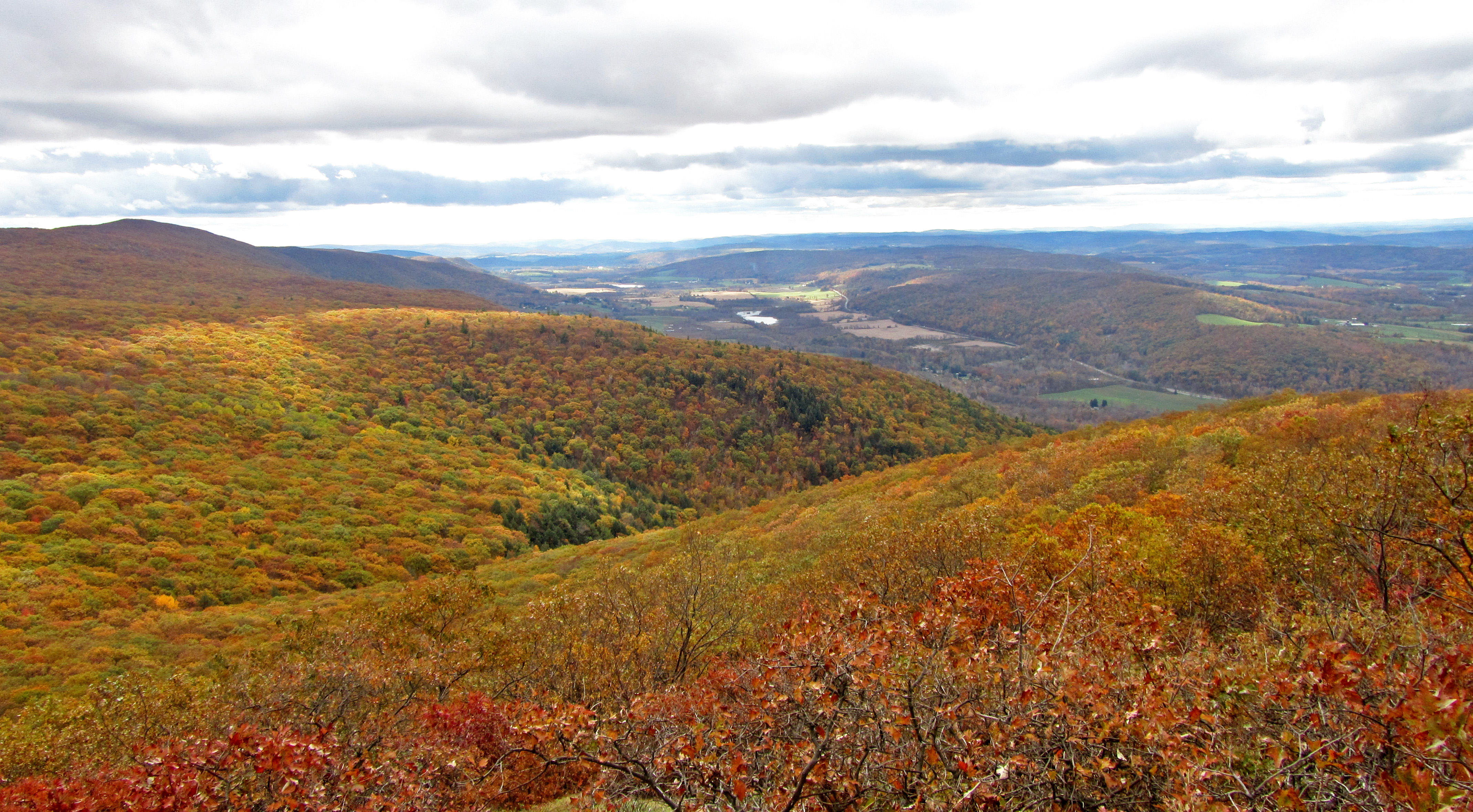
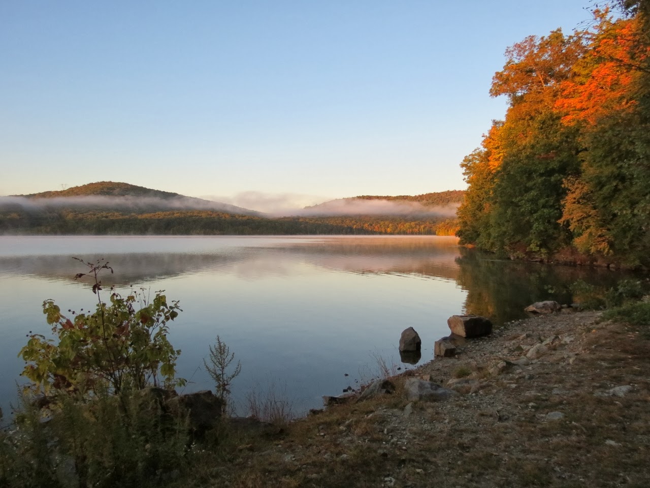
View of Harrison Mountain from shore of Monksville Reservoir - Photo credit: Daniela Wagstaff
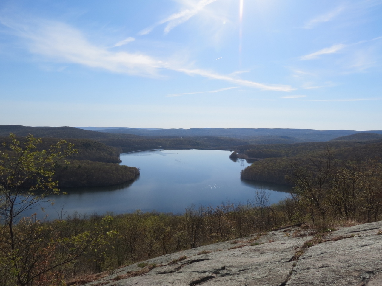
View of Monksville Reservoir from Horse Pond Mountain - Photo credit: Daniela Wagstaff
NYNJTC maintained: 
1

Long Pond Ironworks State Park contains the remnants of ironworks operating from 1766 to 1886, two other pre-Civil War furnaces and two waterwheels surviving to this day.  A visitor center and museum are on site.

Hiking
Dogs on leash
11 miles
6911 acres
Lat/Lon: 
41.141004, -74.308964
West Millford (Hewitt area), Ringwood
Passaic
NJ
RegionURL: 
Cluster/Park: 
Park

Long Pond Ironworks State Park

Three trails in the State Park lead to remnants of the historic mines and ironworks: The Sterling Ridge Trail [blue on white blaze] - co-aligned with the Highlands Trail [teal] -- the Monks Trail [white blaze] and the Whritenour Mine Trail [yellow blaze, marked "unmaintained" on Trail Conference Map 115].   Trails range from 0.4 to 8.6 miles.   Use Web Map link on this web site to view a NJ State Pak Service map.  

A section of the Highlands Trail runs through the park.  Visit The Highlands Trail website for complete, accurate and up-to-date information about New Jersey's Millennium Trail, including trail descriptions, current trail conditions and maps.

The former Wildlife Management Area of the park includes portions of the Highlands, Sterling Ridge and Hasenclever Iron trails, plus a network of unmarked woods roads with access from adjoining paved roads. The Jennings Hollow Trail [3.0 miles; yellow] starts from the Sterling Ridge Trail [blue on white] 1.1 miles from its southern trailhead at the intersection of East Shore Drive and Greenwood Lake Turnpike. One highlight is a view across an extensive wetland along the return segment of the loop.  Jennings Creek is impressive in flood, especially when looking for underwater stepping stones.

  • Note:  From East Shore Drive a trail/woods road identified as Jennings Hollow Fire Road, which is a little steep and rugged in places, leads 0.3 mile to the loop portion of the Jennings Hollow Trail.  Roadside dirt parking for a few cars is directly across East Shore Road.

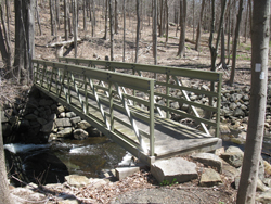
The long-awaited replacement footbridge for the one that was washed away by Hurricane Irene in 2011 was completed in late 2016.  The bridge is a strategic link over the Wanaque River for the Hasenclever Iron Trail and the Highlands Trail. 

Click to find detailed descriptions of several hikes in the park.


  • Long Pond Visitors Center is located on the right side of Greenwood Lake Turnpike [County 511] after it crosses the Monksville Reservoir causeway going west.  Park at Long Pond Visitors Center to hike.  GPS Coordinates: 41.141004, -74.308964  
  • For the Monks Trail use the access road from Greenwood Lake Turnpike to the North Boat Launch area along the Monksville Reservoir. Trailhead is at the far end of parking.  GPS Coordinates: 41.136633, -74.301232
  • For the Wanaque area, take I-287 Exit 57 to Skyline Drive.  At end of Skyline Drive turn right on Greenwood Lake Turnpike [County 511] to East Shore Road. GPS Coordinates: 41.141539, -74.315141 
  • Public Transportation: NJ Transit Bus #197.  Bus stop GPS coordinates: 41.141539, -74.315141
Wyanokies
Fees: 
None
Last Update: 
02/27/2017
Modified By: 
Phil McLewin, Ken Malkin, Daniel Chazin, Phil McLewin
Landowner: 
NJ DEP
Manager: 
NJ DEP

Batona Trail

Complete: 
Yes
Along the Batona Trail in Wharton State Forest - Photo by Daniel Chazin
NYNJTC maintained: 
0

A 50 mile trail that connects three state forests in the heart of the New Jersey Pinelands.

Hiking
Mountain biking
X-C skiing
50 miles
Lat/Lon: 
39.644613, -74.646765
Hammonton
Atlantic
NJ
Cluster/Park: 
Park

Extending 50 miles through the heart of the Pinelands, the Batona Trail [pink] is the longest blazed hiking trail in southern New Jersey. It starts from Bass River State Forest and goes through Wharton State Forest and Brendan T. Byrne State Forest. The trail was established in 1961 by the Batona Hiking Club of Philadelphia, and it is still maintained by that group.


To pierce the genuine wilderness of the area, the Batona Trail avoids the sand roads as much as possible. Still, about 20% of the treadway is soft sand, which makes for slower-than-expected progress in parts of this mostly level trail. Good starting points for the trips on the trail are the Brendan T. Byrne State Forest headquarters and the Batsto Visitor Center. Trail maps and information may be obtained there, as well as at the Atsion Ranger Station and the Bass River Forest Office. A permit is required to camp along the trail in state forests.

Use the Web Map link on this site to view a brochure and Batona Trail map.

The southern terminus of the Batona Trail is near the junction of French Coal Road and Stage Road, near Lake Absegami, in the Bass River State Forest.  GPS Coordinates:  39.620531, -74.424639

Its northern terminus is at Ong’s Hat on Magnolia Road in the Brendan T. Byrne State Forest [1.5 miles northwest of Four Mile Circle]  GPS Coordinates: 39.910986, -74.620857


Fees: 
None
Last Update: 
01/23/2017
Modified By: 
Phil McLewin
Region - Maintenance: 

Taconic State Park

Historic: 
Complete: 
Yes
View from the South Taconic Trail on Alander Mountain at Taconic State Park - Photo credit: Michael Schenker
NYNJTC maintained: 
1

The trail system of the Southern Taconics features two parallel trails running north-south:  the 21.4-mile South Taconic Trail following the western range and escarpment, and a 16.5-mile section of the Appalachian Trail on the eastern range.  

Hiking
Mountain biking
X-C skiing
Dogs on leash
50 miles
7000 acres
Lat/Lon: 
42.121129, -73.519501
Copake Falls
Columbia
NY
Cluster/Park: 
Park

Taconic State Park

East of the Harlem Valley of New York and west of the Housatonic Valley of Connecticut and Massachusetts rise the Taconics where Taconic State Park is located.  The Taconics extend north through western Massachusetts and eastern New York into southwestern Vermont, where they reach their highest elevations.  The name "Taconic" is a modern rendering of a Native American name variously spelled Taghkannock and Taghkanic.

The trail system of the Southern Taconics features two parallel trails running north-south:  the 21.4-mile South Taconic Trail following the western range and escarpment, and a 16.5-mile section of the Appalachian Trail on the eastern range.  Other hiking routes consist mostly of side trails ascending to the highland from the valleys on either side.  This system provides for circuit hikes, some of which include stretches of unpaved road.  Use the Web Map link on this site to view trail maps prepared by NYSparks.

  • The highly scenic South Taconic Trail lies mostly in Taconic State Park and Mount Washington State Forest along the western escarpment and range of the southern Taconics.  The trail may be divided into two sections that together span 21.4 miles.
    • South Taconic Trail, Southern Section [15.2 miles; white] goes from Rudd Pond Farms to NY 344, and includes steep, very rough sections. 
      • From the lower lot parking area on Route 344, it is worth hiking the Iron Works Trail [0.4 mile, green] to the Iron Works Museum and observe a beautifully restored furnace with related historical information and photographs.  
    • South Taconic Trail, Northern Section [6.2 miles; white] goes from NY 344 to NY 23.
  • The route of the Appalachian Trail through the southern Taconics lies entirely within Connecticut and Massachusetts.  For a description see Appalachian Trail Guide to Massachusetts-Connecticut.  The NY/NJ Trail Conference map South Taconic Trails shows this section of the AT and its feeder trails from Lions Head in Connecticut to Battlesite Monument in Massachusetts. 
  • A 4.0-mile segment of the Harlem Valley Rail Trail extends south from the Copake Falls area and a 1.2-mile segment extends north.

Click to find detailed descriptions of hikes in the park.

To reach Taconic State Park, take Taconic Parkway, exit at Claverack-Hillsdale Exit. Take Route 23 east for 8 miles into Hillsdale. Turn right onto Route 22 south and go 4 miles to Copake Falls. Turn left onto Route 344 east. Park entrance will be ½ mile on the left.  GPS Coodinates: 42.121129, -73.519501


Fees: 
Some times and places; check with park
Last Update: 
02/12/2017
Modified By: 
josh; Phil McLewin
Landowner: 
NYS OPRHP

Furnace Loop/Indian Hill Loop Trails from Hall Road

Mombasha Creek cascades and stone ruins - Photo by Daniel Chazin
NYNJTC maintained: 
1
Summary: 

This hike passes the historic Southfields Furnace and climbs to the Indian Hill Loop Trail, which offers several viewpoints of the surrounding countryside and crosses numerous old stone walls.

3 hours
Moderate
4 miles
Route type: 
Circuit
Allowed on leash
Historic feature
Views
Historic: 
Sterling Forest State Park
Sterling Forest
NY
Orange
100 Sterling Forest

Sterling Forest State Park Information Center Trail Map (available at visitor center)

04/22/2013
04/28/2020
Driving: 

Take N.Y. Route 17 North through Sloatsburg and Tuxedo, and continue on Route 17 past the intersection with NY 17A into Southfields. About 1.3 miles beyond the intersection with NY 17A, turn left onto Orange Turnpike (County Route 19). In 0.6 mile, turn left onto Hall Drive and park in a parking area on the left side of the road at a curve.

From the parking area, proceed ahead (north) on Hall Drive,heading uphill and following the white blazes of the Wildcat Mombasha Creek footbridge. Photo by Daniel Chazin.Mountain Trail (the blazing along Hall Drive is very sparse).
Reference/Source: 
Bergen Record Hike of the Week
HOTW Date: 
Thu, 04/25/2013
HOTW Count: 
1

Appalachian Trail/Iron Mountain Trail/Double Pond Trail Loop from Park Headquarters

Rhododendron along the Double Pond Trail - Photo by Daniel Chazin
Wawayanda State Park, Wawayanda Lake. Photo by Daniel Chazin.
Wawayanda State Park, Wawayanda Furnace. Photo by Daniel Chazin.
NYNJTC maintained: 
1
Summary: 

This relatively level loop hike follows woods roads through this scenic park, passing through thick groves of rhododendron and hemlock, and goes by Wawayanda Lake and the historic Wawayanda Furnace.

4 hours
Easy
6 miles
Route type: 
Circuit
Allowed on leash
Historic feature
Historic: 
Wawayanda State Park
Bearfort Ridge and Wawayanda
NJ
Sussex
116 North Jersey Trails West
04/21/2006
01/01/2017
Driving: 

Take I-287 to Exit 57 (Skyline Drive) and continue on Skyline Drive to its western terminus at Greenwood Lake Turnpike (County Route 511). Turn right and proceed north on Greenwood Lake Turnpike. In 8.3 miles, continue ahead on Warwick Turnpike (still County Route 511), following the sign for “Warwick, N.Y.” Proceed for another 4.5 miles to the entrance to Wawayanda State Park, on the left. Follow the entrance road for 0.3 mile to the parking lot at the park office..

A sign at the north end of the parking lot indicates the route of the blue-blazed William Hoeferlin Trail. Proceed north on this trail, following a woods road through a forest of hemlock, mountain laurel and deciduous trees. In a quarter mile, you’ll reach an intersection with the white-blazed Appalachian Trail (A.T.). Turn left and follow the A.T., which heads into the woods on a footpath.

Reference/Source: 
Bergen Record: Hike of the Week
HOTW Date: 
Sat, 01/07/2017
HOTW Count: 
1

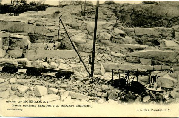
The Quarries in Sylvan Glen Park Preserve

State: 
NY
Date: 
08/25/2012
Region: 
Westchester County
Description: 

Postcard of quarry

Timeline

1895 "Golden Granite" discovered

1925-1941 Grenci & Ellis operated the quarry

1950s buildings still standing

1950s Mogul Park ran a day camp for residents

1952 gasline went through - expanded in 1956

1981 Town of Yorktown purchased as parkland - trails established by the Yorktown Land Trust

1989 Town acquired Goldschmidt property but not declared parkland until 2009

2010 Trails in new section of park built by Yorktown Community Trails Program of NYNJTC

2015 The Cathedral Church of St. John the Divine in NYC contacted the Parks Department to see if they could purchase more stone to finish the Cathedral. The answer was no because it is parkland and thus protected.

Reference Materials

Other historic features in the park

  • Lime Kiln and shell middens (on gasline west of Turtle Pond Trail (white) crossing)
  • Quarry Oak (approximately 300 year old white oak - 220 inch circumference, 104 feet height, 102 feet spread) Big Tree rating 349.5.
  • Riding ring which is the Ring Trail