Mine

Augusta Mine Trail Loop

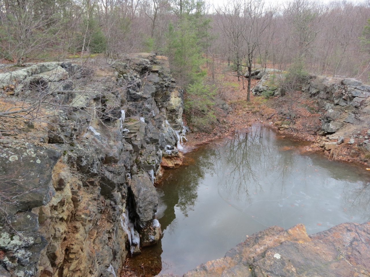
Opening of the Augusta Mine - Photo by Daniel Chazin
NYNJTC maintained: 
1
Summary: 

This loop hike on "multi-use" trails open to mountain bikes passes the historic Augusta Mine.

3 hours
Easy to Moderate
5 miles
Route type: 
Lollipop
Bikes allowed
Historic feature
Historic: 
Sterling Forest State Park
Sterling Forest
NY
Orange
100 Sterling Forest
05/18/2023
Driving: 

Take the New York State Thruway to Exit 15A. Turn left at the bottom of the ramp onto Route 17 and head north for 1.4 miles to the exit for Sterling Forest. Follow Sterling Mine Road (County Route 72) west for 2.4 miles, then turn right onto Long Meadow Road. Proceed past Old Forge Road and make the next right at a sign for "Laurel Meadow Pond." Proceed for 0.2 mile to a concrete parking area on the right side of the road, or to the second parking area on the right, with a dirt surface, and park in one of these parking areas.

Most of this “lollipop”-loop hike follows “single-track” multi-use trails recently constructed by the Palisades AmeriCorps trail crew of the New York-New Jersey Trail Conference, along with volunteers from the Palisades MTB (a mountain bike club). These multi-use trails are open to hikers, but they were designed primarily for mountain bikers and are heavily used by them.

HOTW Count: 
1

Hutchinson/Munsee-Eagle/Red Back Multi-Use Trails Loop

Bridge on the Munsee-Eagle Trail - Photo by Daniel Chazin
NYNJTC maintained: 
1
Summary: 

This loop hike follows “single-track” multi-use trails around the southeast area of Sterling Forest, passing the historic Red Back Mine.

5 hours
Moderate
8 miles
Route type: 
Circuit
Allowed on leash
Bikes allowed
Historic feature
Historic: 
Sterling Forest State Park
Sterling Forest
NY
Orange
100 Sterling Forest
10/07/2018
Driving: 

Take the New York Thruway to Exit 15A. Turn left at the bottom of the ramp onto Route 17 and head north for 1.4 miles to the exit for Sterling Forest. Follow Sterling Mine Road (County Route 72) west for 3.0 miles, then turn right onto Long Meadow Road (County Route 84). Proceed north on Long Meadow Road for 4.8 miles and turn right into the Caretaker Parking Area, on the right side of the road.

This hike follows “single-track” multi-use trails recently constructed by the Palisades AmeriCorps trail crew of the New York-New Jersey Trail Conference, along with volunteers. This is the first “single-track” multi-use loop built in Sterling Forest State Park, and although open to hikers, it was designed primarily for mountain bikers, and it is heavily used by them.

HOTW Count: 
1

Red Back Loop Trail

Stream crossing on the Red Back Trail in Sterling Forest State Park. Photo by Daniel Chazin.
Wetland along the Red Back Trail in Sterling Forest State Park. Photo by Daniel Chazin.
The Red Back Trail in Sterling Forest State Park. Photo by Erik Mickelson.
NYNJTC maintained: 
1
Summary: 

This hike loops around the southeastern corner of the park, following woods roads for most of the way and passing the historic Red Back Mine.

4 hours
Moderate to Strenuous
7 miles
Route type: 
Circuit
Allowed on leash
Historic feature
Historic: 
Sterling Forest State Park
Sterling Forest
NY
Orange
100 Sterling Forest
04/03/2017
Driving: 

Take the New York State Thruway to Exit 15A. Turn left at the bottom of the ramp onto Route 17 and head north for 1.4 miles to the exit for Sterling Forest. Follow Sterling Mine Road (County Route 72) west for 2.4 miles, then turn right onto Eagle Valley Road. Continue on Eagle Valley Road for 0.8 mile to South Gate Road. Turn right onto South Gate Road and continue for 1.2 miles. Opposite Buttonwood Road (on the right), turn left at a Hikers’ Trailhead Parking sign and proceed for a short distance to a dirt parking area.

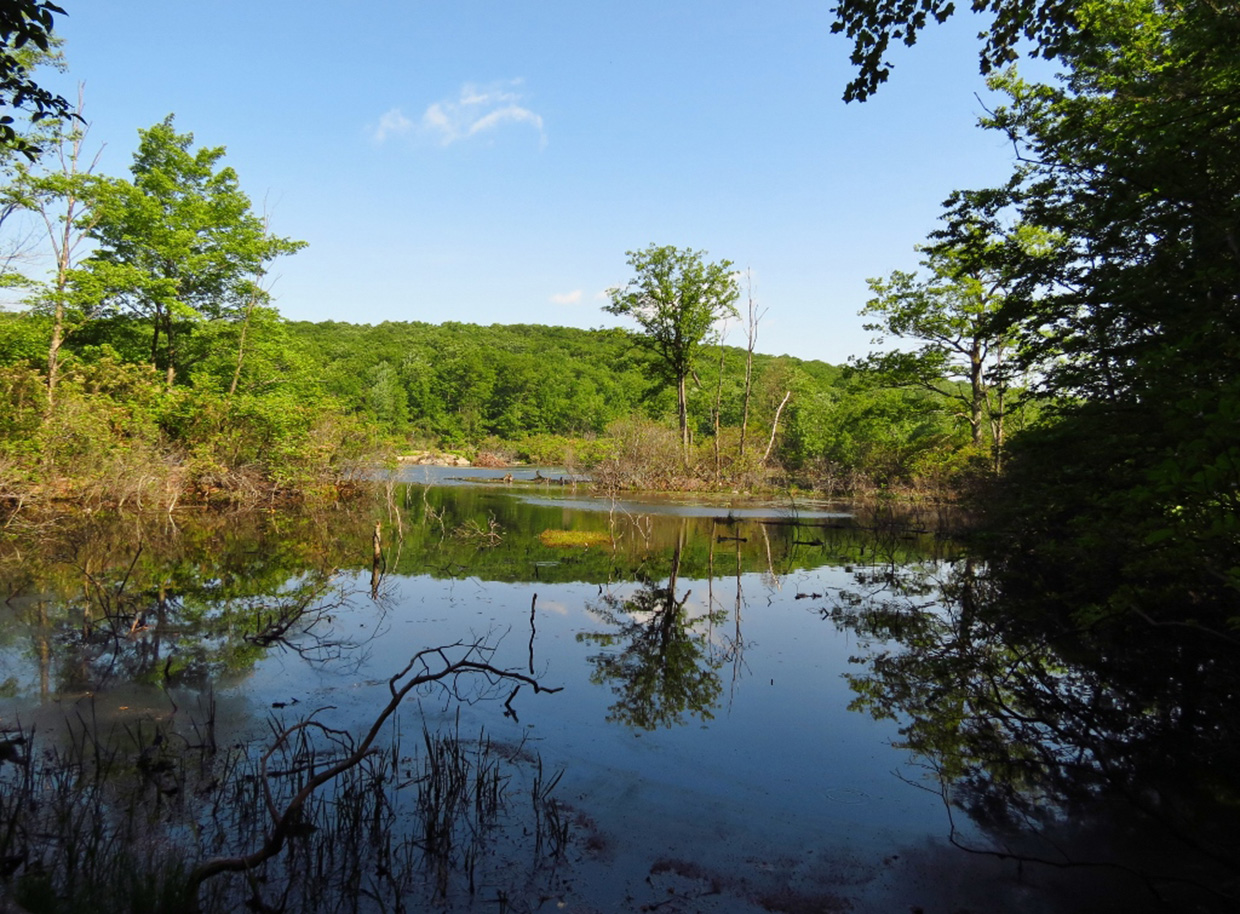
This hike, for the most part, follows woods roads in a loop around the southeastern section of Sterling Forest State Park, with considerable ups and downs. It traverses a remote and little-used section of the park, and portions of the trail may be very wet, especially after heavy rains. Along the way, the trail passes remnants of the historic Red Back Mine and runs along the interesting McKeags Meadow.

HOTW Date: 
Sun, 04/23/2017
HOTW Count: 
1

Four Birds Trail/Wildcat Ridge Trail Loop from Lower Hibernia Road

Wildcat Ridge Trail in a rock cut for the former Oreland Branch Railroad - Photo by Daniel Chazin
NYNJTC maintained: 
1
Summary: 

This loop hike passes many remnants of former mining activity, including a barricaded mine used by hibernating bats and an abandoned cemetery, reaches a panoramic viewpoint, and follows an old railroad bed.

5 hours
Moderate
7 miles
Route type: 
Circuit
Allowed on leash
Historic feature
Views
Historic: 
Wildcat Ridge Wildlife Management Area
Morris County
NJ
Morris
125 Jersey Highlands Trails-Central North
01/08/2017
09/19/2021
Driving: 

Take I-80 West to Exit 37 (Hibernia/Rockaway). At the bottom of the ramp, turn left onto Green Pond Road (County 513). Follow Green Pond Road north for 2.8 miles and turn right onto Lower Hibernia Road. Immediately turn left into a parking area for the Wildcat Ridge Wildlife Management Area.

From the parking area, the Four Birds Trail heads north on a woods road, running jointly with the orange-blazed Hibernia Brook Trail. To the right are the stone-and-concrete ruins of buildings that once processed ore extracted from the Hibernia Mines. In 300 feet, bear right to continue on the white-blazed Four Birds Trail (the orange-blazed Hibernia Mine Trail bears left here). In another 100 feet, follow the white blazes as they turn left onto another woods road.    

HOTW Count: 
1

Lake Ames Park

Historic: 
Complete: 
Yes
NYNJTC maintained: 
0

This park features a large playground facility and picnic areas. Shoreline fishing is permitted. No swimming or boating.

Hiking
Dogs on leash
3 miles
285 acres
Lat/Lon: 
40.951404, -74.502704
Rockaway Township
Morris
NJ
Cluster/Park: 
Park

Purchased by Rockaway Township for nearly $1 million in 1979, this park has picnic and playground facilities, a pavilion and opportunities for short walks. You can also investigate the three or four openings of the Denmark Mine. Although a quantity of ore was removed from some of them, the material contained large amounts of pyrite and was never mined.

There is a red trail that meets Snake Hill Road about 100' west of the bridge and again, on Snake Hill Road about 1 mile further west. The trail is about 3 miles long, but may require brook crossings difficult in high water. If you do not like to cross streams, just bushwhack out until the trail returns. You will pass the Denmark Mine. Be sure not to trespass on private property.  There is no trail around the lake.

West on I-80 to Exit 37 toward NJ513/Hibernia/Rockaway. Keep left at the fork, following signs for Green Pond Road. Turn left at Green Pond Road and follow it for 3.2 miles. Turn left at Snake Hill Road. The park will be on the right in 0.3 mile.

Morris County
Last Update: 
06/25/2017
Modified By: 
Phil McLewin
Landowner: 
Municipality

Fahnestock State Park [Clarence Fahnestock Memorial State Park]

Historic: 
Complete: 
Yes
View of Canopus Lake from the Appalachian Trail - Photo credit: Daniela Wagstaff
View of Hidden Lake from the Three Lakes Trail - Photo credit: Daniela Wagstaff
NYNJTC maintained: 
1

Largest park in the area with diverse recreational opportunities on 50 miles of marked trails [including the Appalachian Trail], a variety of terrain, and numerous lakes, ponds and streams.

Hiking
Mountain biking
Bridle path
X-C skiing
Dogs on leash
50 miles
14086 acres
Lat/Lon: 
41.462248, -73.829715
Philipstown, Putnam Valley
Putnam
NY
Cluster/Park: 
Park

Fahnestock State Park


Many trails listed can be combined to create circuit hikes. Most trails have rocky sections and are moderately strenuous, with especially difficult and easy exceptions noted below.

  • The Appalachian Trail [blazed white] runs through the park. It is usually accessed from NY 301. North of NY 301 the trail roughly parallels the shore of Canopus Lake, with a beautiful view of the lake at 2.3 miles. South of NY 301 the trail follows an old mine railbed.
  • The Cabot Trail [white blaze; 1 mile] has gentle terrain and a short unmarked side trail to a pleasant viewpoint over Jordan Pond. It connects with the Charcoal Burners Trail and the Perkins Trail to make a 1.9-mile loop.
  • The Candlewood Hill Trail [red blaze; 2.1 miles one way or 3.5-mile loop] ascends Candlewood Hill, sometimes steeply, to long views in all directions.
  • The Catfish Loop [red blaze; 4.7 mile] is accessible where the Appalachian Trail crosses Dennytown Road and is a full loop west of the road. It passes through a wide variety of terrain typical of the area.
  • The Cedar Ridge Trail [yellow; 0.8 mile] follows an easement on a private farm through meadows to a view of the Hudson River.  Please leave all farm gates through the fields as you find them (open or closed)
  • The Charcoal Burners Trail [red; 3.3 miles], along with the Appalachian Trail, connects the north and south sections of the park. It follows a gently rolling ridge and provides access to the Perkins Trail and the Cabot Trail, also connecting with the Fahnestock Trail and the Wiccopee Trail.
  • The East Mountain Loop [red; 1.5 miles] crosses over the top of East Mountain.
  • The Fahnestock Trail [blue blazes; 7.3 miles] is the main east-west trail north of NY 301. This trail covers a wide variety of terrain, including a very steep climb to the top of Round Hill providing long views of the Hudson.
  • The Old Mine Railroad Trail [yellow; 1.6 miles], true to its name, in part follows the railbed of a Civil War era mule-drawn railroad used to haul iron ore. Consequently, it is quite level, with only one short rocky hill after it leaves the railbed.
  • The Pelton Pond Nature Trail [yellow; 1.5 miles] is the most-used trail in the park. Located across NY 301 from the park office, it is a level and scenic stroll circling the pond. There is a pavilion built by the CCC, a restroom, and a picnic area. A side trail leads to the Nature Center, which is open in summer. No dogs are allowed on this trail.
  • The Perkins Trail [yellow; 4.0 miles] encompasses rolling ridges, hilltop farm fields, views, and a long descent to a scenic stream. Please leave all farm gates through the fields as you find them (open or closed).
  • School Mountain Road [white; 4.1 miles] is a multi-use woods road that connects with several other trails. These side trails are foot traffic only.
  • The Three Lakes Trail [blue; 3.7 miles] is named for the three lakes it encounters on its meandering path. It begins at NY 301, crosses Sunk Mine Road, and ends at Dennytown Road.
  • The Wiccopee Trail [blue; 1.9 miles] is a scenic and lightly used connector between the Charcoal Burners Trail and School Mountain Road in the northernmost section of the park.
  • There are two multi-use trails that are open to horses and mountain bikes. One is blazed yellow and starts at Indian Brook Road, and the other is unblazed but starts at the Pelton Pond parking area. See also the trails in Clear Lake Scout Reservation, which connect with Fahnestock trails.

To find detailed descriptions of specific hikes, click here and scroll down the "Parks" column to the name of this park. 

Maps: A detailed trail map can be purchased from the New York-New Jersey Trail Conference (click on East Hudson Trails Map at top).

Fahnestock State Park is located along NY 301 between US 9 and the Taconic State Parkway. The park office is on NY 301 less than a mile west of the Taconic State Parkway. Parking for many trails is available in several locations along NY 301. See trail overviews for other trailhead parking. The park is not easily accessible by public transportation; the nearest Metro North station is 8 miles away in Cold Spring.

Fees: 
Some times and places; check with park
Last Update: 
12/18/2016
Modified By: 
josh, gayle; Phil McLewin
Landowner: 
NYS OPRHP
Manager: 
NYS OPRHP

Appalachian National Scenic Trail

Complete: 
Yes
New Jersey Boardwalk on the Appalachian Trail - Photo Moe Lemire
Appalachian Trail near Bellevale, NY - Photo Marie-Pierre Castermans
NYNJTC maintained: 
1

A beautiful 162-mile segment of the Appalachian Trail passes through the New York-New Jersey region.


Hiking
X-C skiing
Accessible
Dogs on leash
162 miles
Lat/Lon: 
41.244185, -74.287035
Multiple locations /NY/NJ
Orange
US
Cluster/Park: 
Park

The Appalachian Trail is one of the longest continuously marked footpath in the world, measuring roughly 2,180 miles in length. The Trail goes through fourteen states along the crests and valleys of the Appalachian mountain range from the southern terminus at Springer Mountain, Georgia, to the Trail’s northern terminus at Katahdin, Maine. 

An overview map of the trail along its entire length is available from the National Park “Appalachian National Scenic Trail” web page. 

The AT is uniformly marked with a 2" x 6" white-painted, vertical blaze.

For detailed descriptions of hikes along the AT in NY and NJ click the "Choose another experience" button on this web site.  In the search field enter "Appalachian Trail."  The majority of these are loop hikes in conjunction with other trails.  For AT-only hikes click here. The database includes a few AT hikes in nearby sections of Pennsylvania and Connecticut. 

Two of the few wheelchair accessible sections from Georgia to Maine are in this region:


Driving:

Parking is available in all the parks listed on this site that host a segment of the AT.   One spot identified on this web page is where the AT crosses NY-17A  near Warwick, NY.  GPS Coordinates: 41.244185, -74.287035.

On the Appalachian Trail Region page look for the link “Parking along the AT.”  It features parking areas organized by state.

Public Transportation:

Hike descriptions that include the AT will indicate if public transportation (train or bus) is available to a particular trailhead. 

The AT crosses the Metro-North Railroad’s Harlem Line at the Appalachian Trail station (just off N.Y. Route 22, between Pawling and Wingdale) -- the only train station located directly at an AT crossing anywhere along the 2,180-mile-long trail!  Limited service is provided at the Appalachian Trail station, with trains stopping there only on Saturdays, Sundays and holidays (the station, which is little more than a low-level platform, is not wheelchair accessible).  At other times, hikers may board trains at Pawling (to the south) or Harlem Valley-Wingdale (to the north).  Trains run north to Wassaic and south to Grand Central Terminal in New York City.


Fees: 
Some times and places; check with park
Last Update: 
02/26/2017
Modified By: 
Phil McLewin

Sterling Forest State Park

Historic: 
Complete: 
Yes
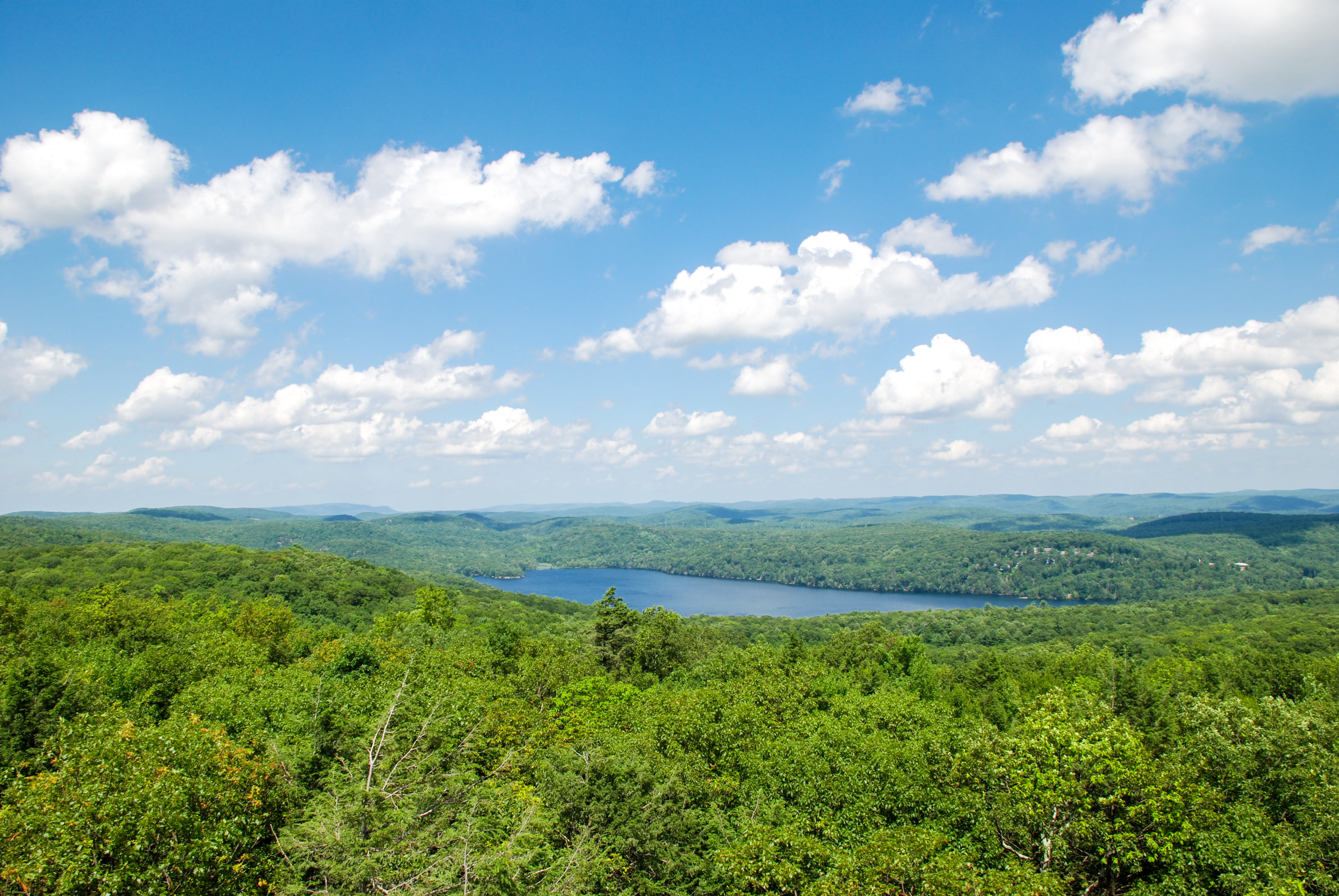
Sterling Forest Fire Tower at Sterling Lake from the Fire Tower - Fire Tower - Photo credit: Jeremy Apgar
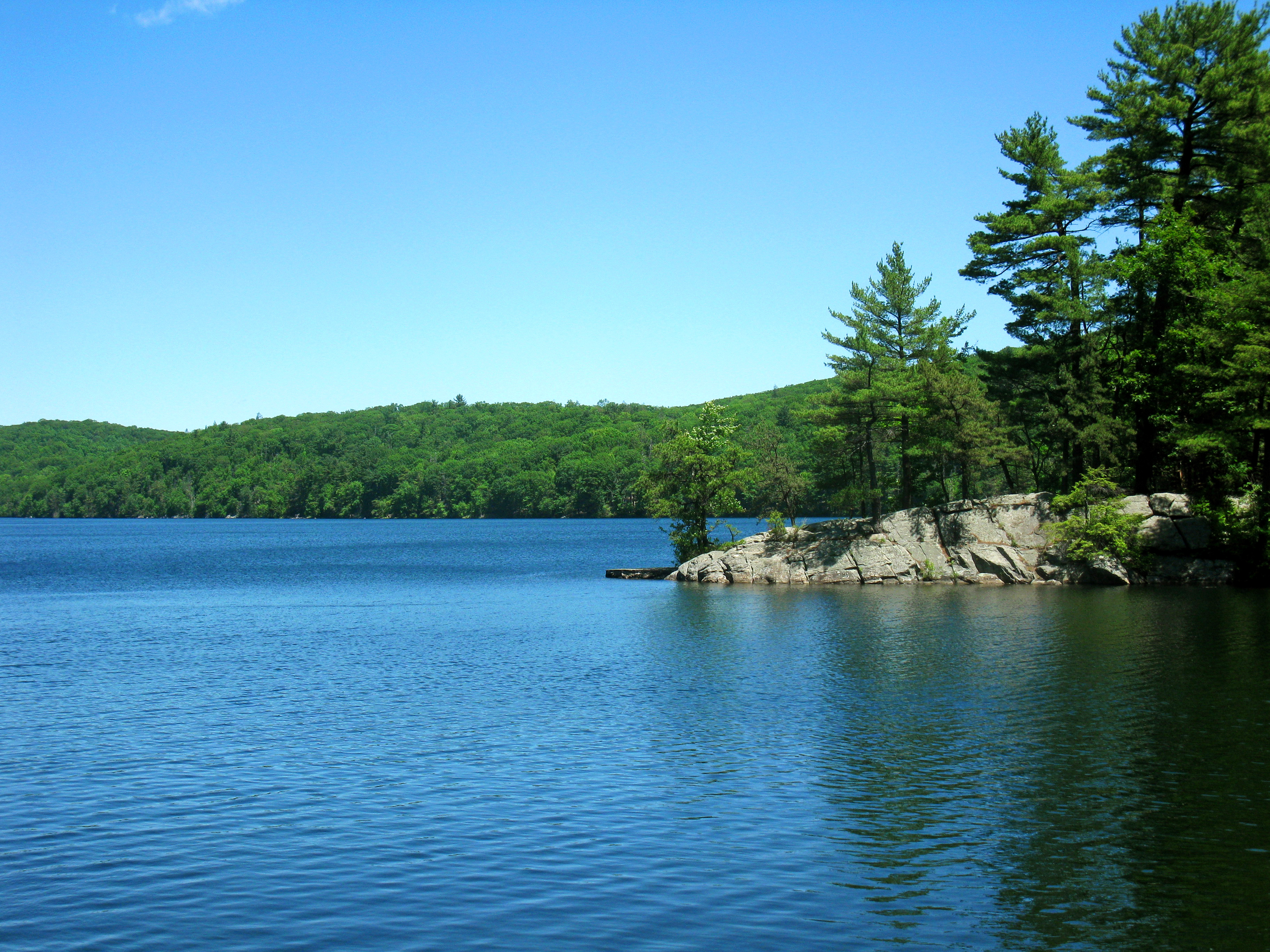
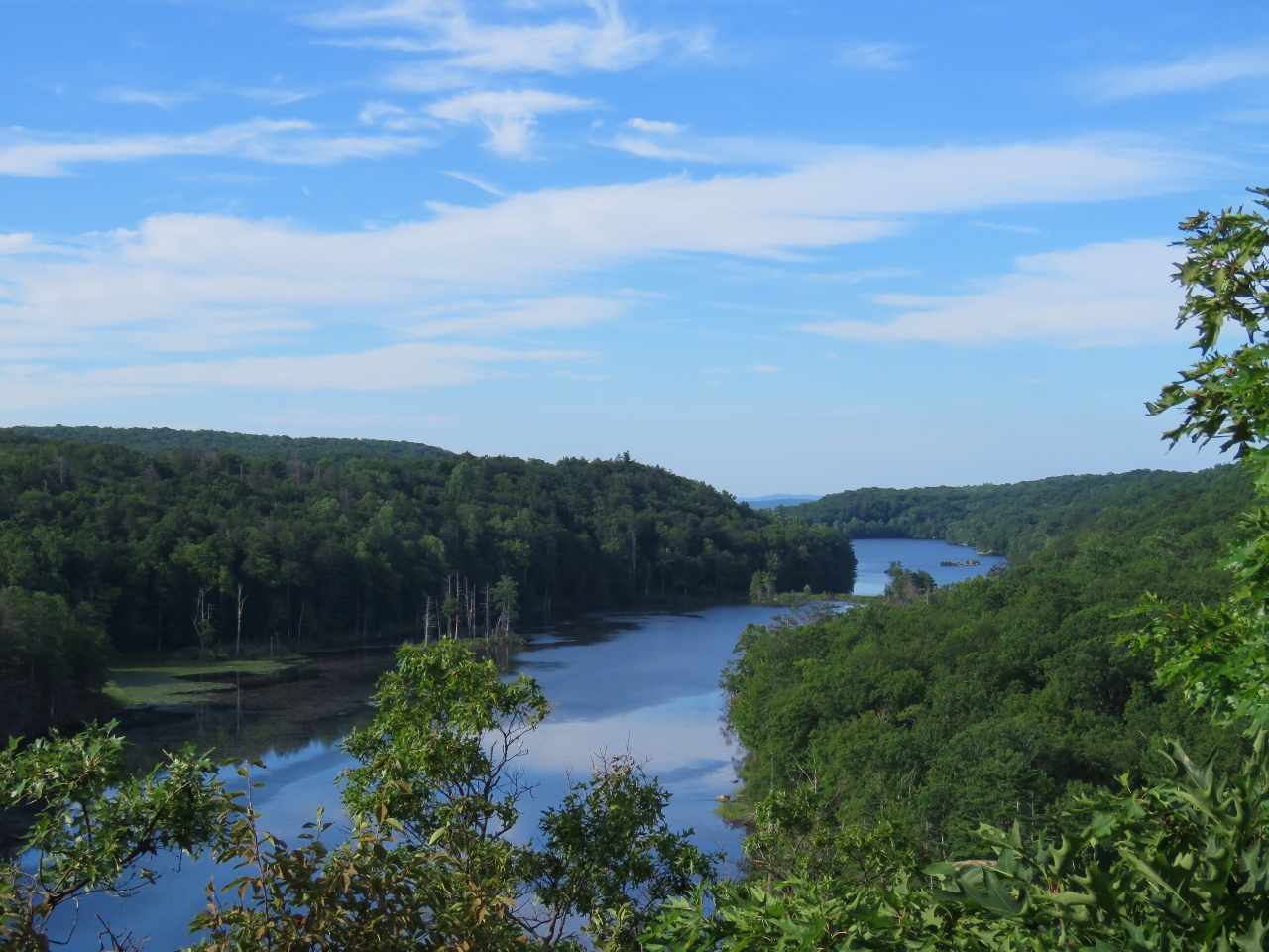
Sterling Lake from the Sterling Lake Loop at Sterling Forest - Photo credit: Daniel Chazin
NYNJTC maintained: 
1

Sterling Forest State Park comprises nearly 22,000 acres of nearly pristine natural refuge amidst one of the nation's most densely populated areas. It is a remarkable expanse of woodland, a watershed for millions of people, and an inviting outdoor recreation area.

Hiking
Mountain biking
Bridle path
X-C skiing
Dogs on leash
83 miles
21935 acres
Lat/Lon: 
41.198746, -74.256816
Tuxedo
Orange
NY
Cluster/Park: 
Park

Sterling Forest State Park

Some of the more than 30 marked trails in Sterling Forest are briefly described below. Hikers should be aware that the Trail Conference maintains only about half of these trails and that blazes frequently have a secondary strip in a contrasting color to the blaze color indicated on the Trail Conference's Sterling Forest Trail Map. Mountain bikers and equestrians should check with the park or consult the web trail map (use Web Map link on this site) to determine which trails they can use.

  • One of the oldest trails in the area, the Allis Trail (4.1 miles, blue) connects the Sterling Ridge and Appalachian Trails. The southern end of the trail is on the north side of NY 17A, opposite the parking area for the Sterling Ridge Trail.
  • The newest trail in the area, the Munsee-Eagle Trail (3.5 miles, blue) that skirts Eagle Mountain, can be combined with the Red Back Trail (magenta) and Hutchinson Trail (yellow "H" on red) to form a 7-mile loop hike.  The Munsee-Eagle Trail is designated for hikers and mountain bikers, while the Red Back and Hutchinson Trails additionally incorporate equestrian use. “Munsee” is the name of a vanishing language of Lenape Native Americans.  
    • The loop hike can be accessed from the Caretaker parking lot off Long Meadow Road (Route 84), or the South Gate parking area P16 off South Gate Road. 
    • Click to view an updated map with the new triple-trail loop hike highlighted in yellow.  
  • The Doris Duke Trail (3.5 miles, yellow “DD” logo on white blaze), loops through the Doris Duke Wildlife Sanctuary, where hunting is not permitted. A segment is co-aligned with the Allis Trail. The trailhead parking area is on Benjamin Meadow Road, just off Route 17A, near the Renaissance Festival site (GPS coordinates: 41.254037,-74.227963 )
  • The Appalachian Trail (8.4 miles [in the park], white) traverses the northern section of Sterling Forest. Parking is available at the Elk Pen parking area in Harriman Park, on the south side of Arden Valley Road, 0.3 mile east of NY 17. Limited parking is also available at Lakes Road (County 5).
  • The Fire Tower Trail (5.5 miles, white stripe on red) crosses Sterling Forest in the east-west direction, connecting Long Meadow Road (County Route 84) with East Shore Road. The eastern trailhead is on the west side of Long Meadow Road, where limited parking is available. The trail ends at a parking area at East Shore Road. The tower is reached at 2.1 miles from Long Meadow Road. Check with the park office to be sure the tower is open before you leave.
  • The Furnace Loop Trail (1.6 miles, red) offers a short but rewarding walk. It can be accessed from the Wildcat Mountain Trail parking area along Hall Drive.
  • The Highlands Trail (14.6 miles in the park, teal diamond) highlights the natural beauty of the New York and New Jersey Highlands region and draws attention to this endangered watershed region. Within Sterling Forest State Park and continuing south to County Route 511 in New Jersey, the Highlands Trail is co-aligned with the Appalachian, Allis and Sterling Ridge trails. There are no Highlands Trail blazes along the Appalachian Trail, from Lakes Road to Mombasha High Point.
  • The Indian Hill Loop Trail (3.6 miles, yellow) traverses abandoned farmlands, crossing many old stone walls and climbing to several viewpoints. From NY 17 in Southfields, proceed west on Orange Turnpike (Orange County Route 19) for 1.3 miles to a sign for 'Indian Hill," then turn right and follow a dirt road to the parking area.
  • Several interpretive signs are located along the easy Lakeville Ironworks Trail (0.6 mile, mining motif on yellow). This trail can be completed in an easy walk of 1.1 miles when accessed from the Visitor Center via the blue Sterling Lake Loop Trail. 
  • The Sapphire Trail (2.2 miles, blue) connects the Harriman station on Metro-North's Port Jervis Line with the Appalachian Trail and (via a short connecting trail) the Indian Hill Loop Trail. The trailhead is on the west side of NY 17, across from the Harriman station. As the trail proceeds southward, with gradual ascents and descents, it passes through a pine grove and traverses a shallow valley with impressive rock outcrops, ending at the Appalachian Trail.
  • From the trailhead at the visitor center, the Sterling Lake Loop Trail (4.2 miles, blue) circles Sterling Lake, following woods roads for most of its route. 
  • The Sterling Ridge Trail (8.6 miles, blue disc on white) trail follows the scenic Sterling Ridge between Hewitt, NJ and NY 17A. Built in 1922, the 60-foot-high Sterling Forest Fire Tower is located along the trail. Parking for the southern trailhead is at the intersection of Greenwood Lake Turnpike (County Route 511) and East Shore Road. Its northern terminus is on NY 17A.
  • Forming a loop south of NY 17A, the Sterling Valley Loop Trail (6.2 miles, yellow) follows woods roads for its entire length. The trailhead is at a parking area on the south side of NY 17A, 1.8 miles east of the village of Greenwood Lake. 
  • The northern end of the Townsend Trail (2.3 miles, green stripe on orange) is accessed from the parking area on Hall Drive. Its southern trailhead is at the Long Meadow Extension Trail. Followed to the right, this trail leads in 1.5 miles to the parking area on Hall Drive, completing a 3.9-mile loop.
  • Parking for the southern trailhead of the Wildcat Mountain Trail (2.8 miles, yellow) is at the north end of a commuter parking area at the intersection of NY 17 and NY 17A. The northern terminus is at the Furnace Loop Trail, a short distance north of Hall Drive, (parking) after crossing Orange Turnpike.

Click for detailed descriptions of hikes in the park.  

Visitors Center (driving):

  • From the North: Take NY 17 south to its intersection with NY 17A.  Proceed west on NY 17A for 1.4 miles to Long Meadow Road (County Route 84). Turn left onto Long Meadow Road and continue for 3.5 miles, then turn right onto Old Forge Road.  Continue for one mile to the Visitor Center's parking area.
  • From the South: Take NJ 17 north to New York State boundary and continue briefly on I-87 North (New York State Thruway).  Take the first exit (Exit 15A), and turn left at the bottom of the ramp onto NY17 North.  In 1.4 miles, take the exit on the right for Ringwood/Sterling Forest/West Milford, which crosses back over Route 17 and becomes County Route 72/Sterling Mine Road.  Be mindful of the speed limit while passing briefly through a residential area. Continue for 2.9 miles to a traffic light at the base of a long hill, and turn right onto County Route 84/Long Meadow Road.  In 3.6 miles, at a sign for Sterling Forest, turn left, and continue for 0.5 mile to the Visitor Center’s parking area. GPS 41.19895, -74.25708


Fees: 
None
Last Update: 
10/08/2018
Modified By: 
Phil McLewin
Landowner: 
NYS OPRHP PIPC
Manager: 
PIPC

Sparta Mountain Wildlife Management Area

Historic: 
Complete: 
Yes
Old mining activity near Edison Monument - Photo credit: Daniela Wagstaff
NYNJTC maintained: 
0

An unusual joint cooperative management of a wildlife area by the NJ Audubon Society and the NJ Department of Environmental Protection. One encourages birding; the other permits hunting.

Hiking
No dogs
3461 acres
Lat/Lon: 
41.063498, -74.570722
Sparta, Jefferson, Hardyston
Sussex
NJ
Cluster/Park: 
Park


The Edison Trail is just over 4 miles long and passes through a habitat of forest, lakeside and wetland.  The trail may be rocky and wet in places.  The Highlands Trail, a long distance trail, traverses roughly 1.5 miles of the management area, with one segment east of Ryker Lake. In addition to two named dirt roads - North Entrance Trail and Monument Trail - other linking trails, side trails and woods roads make loop hikes or in-and-out hikes possible.

Use the Web Map link on this site to view an Audubon Society trail map and trail descriptions . Note: Trail names differ in some instances from other maps. In particular the Highlands Trail is identified as the HeritageTrail by the Audubon.  Topographical PDF maps are available for download from the Table of Wildlife Management Areas.  Several parking areas are shown, although local roads are not always clearly identified. 

To Ryker Lake Section:

  • From US 80, exit at Route 15, travel north 8.2 miles to Sparta/Lake Mohawk Exit [Route 181] on right.   Take 181 North 1.2 miles; take a right onto East Mountain Road.  Follow it for 1.3 miles and turn right onto Glen Road [Route 620 East]. Take Glen Road 3.7 miles and take a left onto Edison Road.  Entrance to Ryker Lake is 0.2 mile on your right.
  • From 287/23 Interchange, take Route 23 north 9.6 miles and take right jug-handle to Oak ridge Road exit.  Continue through light on Oak Ridge Road and drive 3.1 miles.  Take a right [past a gas station] onto Ridge Road.  Take Ridge Road 2.8 miles and take a right onto Edison Road. Entrance to Ryker Lake is 0.2 mile on your right.
  • GPS Coordinates: 41.050314, -74.549583

To the mining area and the Edison Monument:

  • Continue northwest along Edison Road from the Ryker Lake area for roughly 2 miles: Approximate GPS Coordinates: 41.064449, -74.571528 

Parking areas for other sections of the park are identified on maps for Sparta Mountain management area in "Table of Wildlife Management Areas" -- use link elsewhere on this site. 


Fees: 
None
Last Update: 
03/15/2017
Modified By: 
Ken Malkin; Phil McLewin
Landowner: 
NJ DEP

Stockbridge Mountain/Nawahunta Fire Road Loop from Silvermine Picnic Area

Entrance to the Lewis Mine - Photo by Daniel Chazin
NYNJTC maintained: 
1
Summary: 

This loop hike passes remains of an old settlement and a shaft of an iron mine and climbs to the Stockbridge Shelter atop Stockbridge Mountain.

3 hours
Moderate
5 miles
Route type: 
Circuit
Allowed on leash
Historic feature
Views
Historic: 
Harriman-Bear Mountain State Parks
NY
Orange
119 Northern Harriman Bear Mountain Trails
04/09/2009
04/12/2020
Driving: 

Follow N.J. Route 17 north to the New York State Thruway and take the first exit, Exit 15A (Sloatsburg). Turn left at the bottom of the ramp onto N.Y. Route 17 north, and continue through the Village of Sloatsburg. Just past the village, turn right at the traffic light, following the sign for Seven Lakes Drive/Harriman State Park. Continue along Seven Lakes Drive for about 12 miles to the Silvermine Picnic Area, on the right side of the road (the Silvermine Picnic Area is 2.1 miles beyond the Tiorati Circle). Park in the southwest corner of the large parking area (a parking fee is charged on weekends in the summer).

From the parking area, proceed west (parallel to Seven Lakes Drive) on a woods road that goes through a picnic area, following the yellow blazes of the Menomine Trail. Just beyond a cable barrier, the trail turns right, climbs a slope, crosses a paved road (the entrance road to an abandoned parking area for the former Silvermine Ski Area) and enters a pine grove. On the right is a stone marking the grave of James H. (“Scobie Jim”) Lewis, who once farmed the area now covered by Lake Nawahunta.

Reference/Source: 
Bergen Record: Hike of the Week