Quarry

George's Island Park

Historic: 
Complete: 
Yes
Lake Whoopee Photo:Jane Daniels
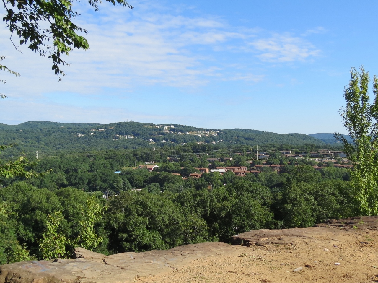
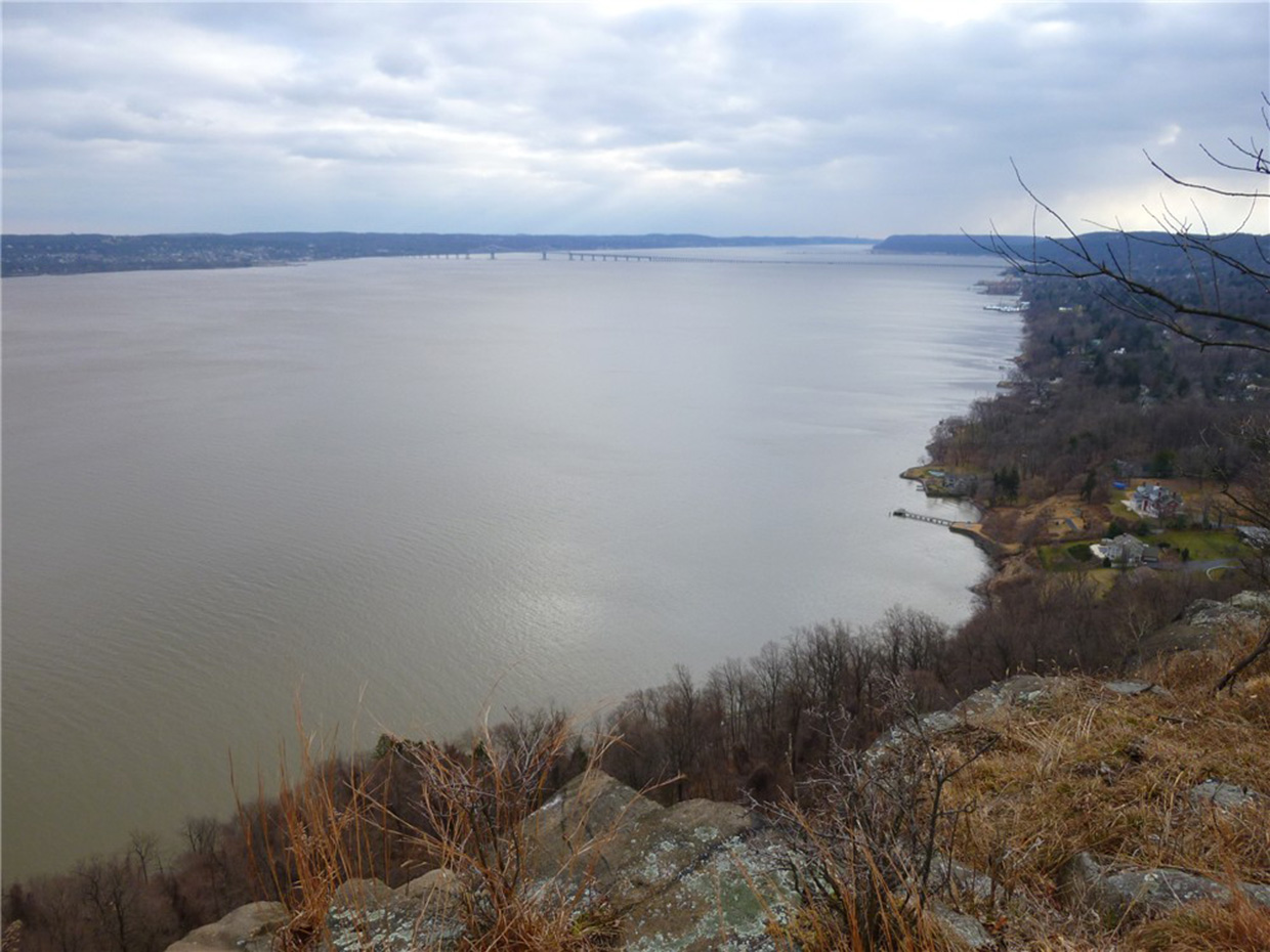
View of the Hudson River Photo: Jane Daniels
NYNJTC maintained: 
1
At first glance, George’s Island Park appears to be a picnic park and boat launch, but off to the side is a network of wooded trails with interesting features.
Hiking
Dogs on leash
3 miles
204 acres
Lat/Lon: 
41.236379, -73.942970
Cortlandt
Westchester
NY
Cluster/Park: 
Park
Long before the county acquired the property in 1966, Native Americans had come to this shore to feast on oysters from the rich beds in the river. A century ago, brick makers had a major industry in the area harvesting the alluvial clay for their bricks and timber for their kilns. 
 

The trails to the north link to Montrose Point State Forest, making a longer hike possible.

Take Route 9 to the Route 9A (Montrose) Exit. Head north on Route 9A for 1.3 miles. Turn left on Dutch Street and follow it 0.9 miles to where it ends at the entrance to the park.

Fees: 
Some times and places; check with park
Modified By: 
josh
Landowner: 
County
Manager: 
Westchester County Parks

Gurnee County Park

Historic: 
Complete: 
Yes
View along the Long Path in Gurnee County Park - Photo credit: Daniela Wagstaff
NYNJTC maintained: 
0

This park is an old quarry arena, having a 40 to 80 foot escarpment as a backdrop. The grounds are hard packed with traprock, and partly covered with brush and small trees.

Hiking
Dogs on leash
23 acres
Lat/Lon: 
41.184431, -74.036303
Pomona
Rockland
NY
Cluster/Park: 
Park

The quarry provides opportunities for geologic study. It first began business in 1896 and continued for 34 years. Rock was removed by hand drilling and blasting. The crushed stone was shipped by rail from the former Mount Ivy railroad station. The high quality of the stone was used for driveway and roadbeds throughout eastern and southern New York. The westerly end of South Mountain Park lies just south of Gurnee Park and runs along the ridge eastward for almost two miles to Central Highway.

A segment of the Long Path passes through the park.  Use the Web Map link on this site to view a trail map.

From Exit 12 Palisades Parkway travel north on Route 45. Entrance is on the right some 800 feet before the intersection of Route 202.

Public Transportation: Rockland Coaches

Fees: 
None
Last Update: 
06/26/2017
Modified By: 
Phil McLewin
Landowner: 
County

Granite Knolls Park

Historic: 
Complete: 
Yes
A almost house size glacial erratic Photo: Jane Daniels
NYNJTC maintained: 
1

Site of a former quarry, Granite Knolls Park's claim to fame is the Giant Boulder. 

Hiking
Mountain biking
X-C skiing
Dogs on leash
7 miles
200 acres
Lat/Lon: 
41.312146, -73.829107
Yorktown
Westchester
NY
Cluster/Park: 
Park

The site of a small scale quarry operation, Granite Knolls Park's Giant Boulder sits among pieces of rock split from its side, which one would like to put the boulder together again. Along the ridge of the knoll are additional large rocks, not yet quarried. The Giant Boulder was pushed into its place by a glacier. But it is not an glacier erratic because it is of the same composition as the rocks in the area.  Evidence of quarry operations are scattered through out the park: quarry pits, cables, and an old gear. The park is also former farmland.

The two types of trails are woods roads and narrow windy trails. The latter with their undulating route will delight skilled mountain bikers. Hikers can use those same trails to visit many small quarries and traverse the top of the knoll which gives the park its name.

  • Arthur's Ramble - yellow - 0.5 mile
  • Bruno's Run - red - 1.3 mile
  • Boulder Dash - purple 0.1 mile
  • Boulder Ridge Trail - blue - 0.9 mile
  • Circolara Trail - white - 1.2 miles
  • Dynamite Run - lavender 0.4 miles
  • Giant Boulder Trail - blue - 0.3 mile
  • Granite Knolls Trail - green - 1.2 miles
  • Happy Ending - orange - 0.4 mile
  • Pond Trail - yellow - 240 feet
  • Old Barn Trail - yellow  -0.2 mile
  • Stark Hollow Trail - yellow - 0.25 mile
  • Stony Street Trail - orange - 0.2 mile
  • Taconic Bridge Trail - pink - 1.1 miles

Currently there is no parking at the park. The shortest access is from Woodlands Legacy Field Park. Take the Taconic Bridge Trail (pink) over the parkway from the ballfields parking lot, 0.2 mile. It is also accessible from the Yorktown Trailway. Enter at the end of Buckhorn Street in Shrub Oak and walk south one mile to the Taconic Bridge Trail. Follow the lavender blazes into the park, 

No public transportation

Fees: 
None
Last Update: 
11/09/2016
Modified By: 
Jane Daniels
Landowner: 
Municipality
Manager: 
Town of Yorktown
Region - Maintenance: 

Cranberry Lake Preserve

Historic: 
Complete: 
Yes
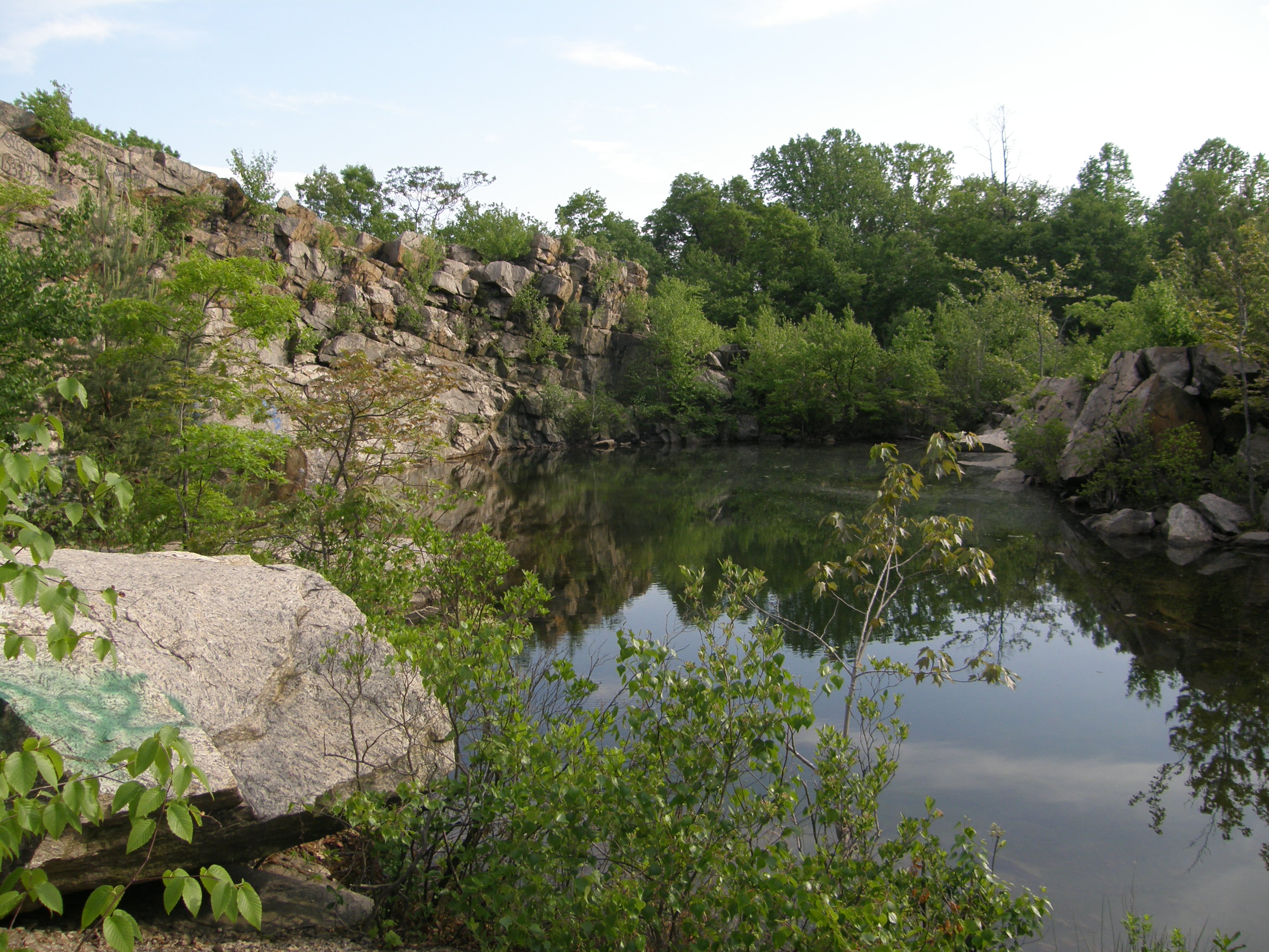
Quarry at Cranberry Lake Photo: Jane Daniels
Crusher Wall at Cranberry Lake Preserve  Photo: Jane Danielsr
A small quarry Photo: Jane Daniels
Along the shore of Cranberry Lake Oreserve Photo: Jane Daniels
NYNJTC maintained: 
1

Watershed lands are on two sides of Cranberry Lake Preserve. This quiet oasis in suburban Westchester County is also the site of the quarry operations to supply stone to build the Kensico Dam, completed in 1917.

Hiking
No dogs
6 miles
190 acres
Lat/Lon: 
41.075128, -73.756070
Valhalla
Westchester
NY
Cluster/Park: 
Park

Cranberry Lake Preserve

The trail system at the preserve is designed with a novice hiker in mind. The Red and Yellow trails at are loops which allow visitors to follow only one color and return to their starting point. The History Trail is also a loop, often co-aligned with one of those trails. The Blue Trail is no longer a loop because a boardwalk section across South Pond was removed when it became unsafe. Trails that start at the Nature Center lead downhill to the lake. Conneting trails are blazed white or orange. 
From the Bronx River Parkway at the Kensico Dam in Valhalla, take Route 22 north. Once past the dam, make the first right turn onto Old Orchard Street and again the first right to enter the preserve.
 
No public transportation
Last Update: 
11/05/2016
Modified By: 
Jane Daniels
Landowner: 
County
Manager: 
Westchester County Parks
Region - Maintenance: 

Sylvan Glen Park Preserve

Historic: 
Complete: 
Yes
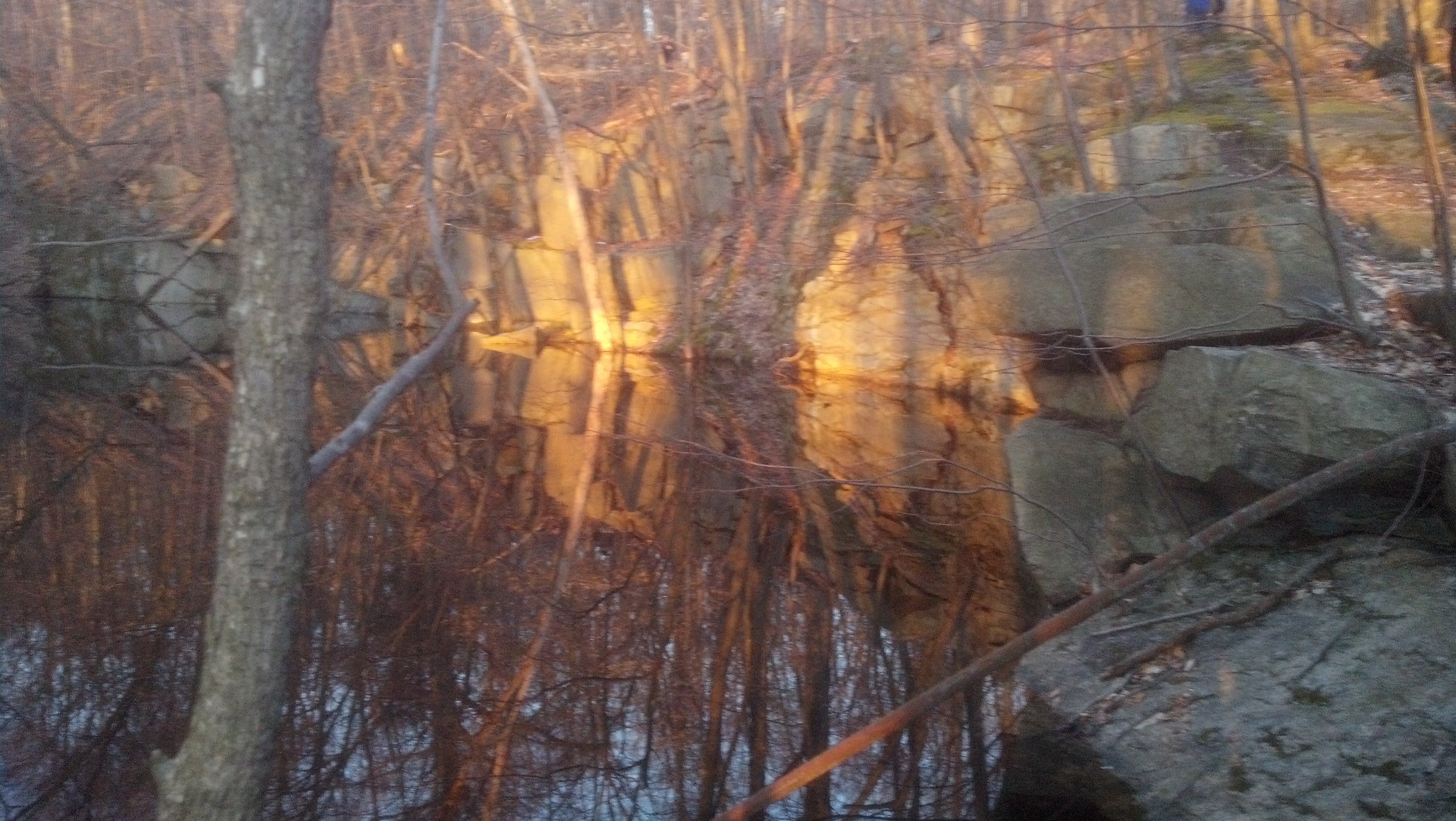
Sunset on the rocks at a quarry in Sylvan Glen Photo: Jane Daniels
Unfinished pedestal Photo: Jane Daniels
NYNJTC maintained: 
1

Old cables, discarded slabs of granite, and an shed which reportedly stored explosives are a few of the remnants along the trails in Sylvan Glen Park Preserve, the site of a former quarry.

Hiking
Mountain biking
Dogs on leash
6 miles
343 acres
Lat/Lon: 
41.299779, -73.852517
Yorktown
Westchester
NY
RegionURL: 
Cluster/Park: 
Park

Tucked away on a hillside in northern Westchester County, NY, Sylvan Glen Nature Preserve is the site of a former quarry which supplied a honey-colored granite for the Cathedral of Saint John the Divine in New York City. Some of the property was purchased in 1981 and was opened as a park when additional adjoining properties were acquired. Quarries of various sizes and remnents of the operations are located throughout the western portion of the park. Subsequent acquisition of adjacent land extended the park onto former farmland and provided another entrance to the park.

The trails traverse a variety of terrain, from steep climbs to gentle woods roads. Interpretive signs, near the quarry operations that ceased at the beginning of World War II, provide an insight into the Town of Yorktown's largest employer at the time. The trails through the former farmland offer a different perpective of land use, including a 0.25 mile riding ring and large ditches dug to drain wetlands.

Trails

  • Deer Hollow Trail (orange) 0.25 mile
  • Easy Way (purple) 0.1 mile
  • Grant Lookout Trail (red) 0.3 mile
  • High Quarry Trail (blue) 0.8 miles
  • Hillside Trail (purple) 0.25 miles
  • Old Farm Trail (green) 0.7
  • Ring Trail (yellow) 0.25
  • Quarry Drive Trail (orange) 0.08
  • Quarry Oak Trail (orange) 0.05
  • Seminary Ridge (white) 0.4
  • Snake Hill Trail (yelow) 1.3
  • Sylvan Glen Trail (red) 1.35
  • Taconic Bridge Trail (pink) 0.8 mile
  • Turtle Pond Trail (white) 0.9
  • Co-aligned trails -
    • High Quarry and Sylvan Glen for 0.25 mile
    • Taconic Bridge and Turtle Pond 0.25 mile

From the Taconic Parkway, take Exit 17A for US 202/NY 35 (Yorktown Heights) and turn west at the bottom of the ramp onto US 202/NY 35 (Crompond Road). Continue for 1.8 miles and turn right at a traffic light onto Lexington Avenue. In 0.5 mile, turn right onto Morris Lane and head downhill. It is 0.2 mile to the parking area at the bottom of the hill.

From the Taconic Parkway, take the Exit17B for Bear Mountain Parkway (Yorktown Heights) and turn north on Stony Street. At the top of the hill watch for an unmarked gravel driveway on the left (opposite 2820 Stony St and shortly before reaching Winding Court).

Westchester County
Fees: 
None
Nearby Parks: 
Last Update: 
11/10/2016
Modified By: 
Jane Daniels
Landowner: 
Municipality
Manager: 
Town of Yorktown
Region - Maintenance: 

Turkey Mountain Loop #1

Waterfall along the Yellow Trail - Photo by Daniel Chazin
NYNJTC maintained: 
1
Summary: 

This loop hike follows woods roads and footpaths up Turkey Mountain, passing remains of old quarries.

4 hours
Moderate
5 miles
Route type: 
Circuit
Allowed on leash
Historic feature
Views
Waterfall
Historic: 
Pyramid Mountain Natural Historical Area
Morris County
NJ
Morris
125 Jersey Highlands Trails-Central North

Morris County Park Commission map (available from kiosk at trailhead).

11/20/2008
04/18/2021
Driving: 

Take I-287 South to Exit 47 (Montville/Lincoln Park) and turn left at the bottom of the ramp onto Main Road (Route 202). In 0.7 mile, just before reaching a fire station, turn right onto Taylortown Road and continue for 1.8 miles to Boonton Avenue (County Route 511). Turn right and continue for 0.7 mile to the entrance to the Pyramid Mountain County Park Natural Historic Area, on the left, opposite Mars Park.

Walk back to the entrance to the parking area and cross Boonton Avenue on a crosswalk just north of Mars Court. At a sign for “Turkey Mt. 100 Steps Trail,” the Yellow Trail begins. Follow this trail, which parallels the road at first, then crosses beneath overhead power lines. It bears right and follows a footpath through the woods, with the power lines on the right.

Sylvan Glen Park Preserve Shorter Loop

Discarded cables Photo: Jane Daniels
NYNJTC maintained: 
1
Summary: 

This loop hike explores the interesting remnants of an abandoned granite quarry which is now a local park.

2 hours
Easy to Moderate
4 miles
Route type: 
Circuit
Allowed on leash
Bikes allowed
Historic feature
Views
Wildflowers
Historic: 
Sylvan Glen Park Preserve
Westchester County
NY
Westchester

Posted at kiosk

01/18/2008
04/02/2023
Driving: 

     If coming from New Jersey or other points west of the Hudson River, take the Palisades Interstate Parkway to its end at the Bear Mountain Bridge, and cross the bridge. At the east end of the bridge, bear right and continue on US 202/US 6 East towards Peekskill. In 3.6 miles, you’ll reach the Annsville Circle. Take the first exit onto US 6/US 9/US 202, cross a bridge over Annsville Creek, and immediately reach a traffic light at a T-intersection. Here, you turn left onto the Bear Mountain Parkway. In about four miles, the Parkway ends at US 202/NY 35. Turn left onto US 202/NY 35 East and follow it for 0.8 mile to a traffic light, where you turn left onto Lexington Avenue. In 0.5 mile, turn right onto Morris Lane and follow it for 0.2 mile into the parking area for the Sylvan Glen Park Preserve. 
    If coming from New York City or southern Westchester County, take the Saw Mill River Parkway to the Taconic State Parkway. Continue for about 13 miles and take the exit for US 202/NY 35 (Yorktown Heights). Turn left at the bottom of the ramp onto US 202/NY 35 (Crompond Road). Continue for 1.8 miles and turn right at a traffic light onto Lexington Avenue. In 0.5 mile, turn right onto Morris Lane and follow it for 0.2 mile into the parking area for Sylvan Glen Park Preserve.

     GPS address: 1750 Morris Lane, Mohegan Lake, NY 10547.

Sylvan Glen Park Preserve is the site of a granite quarry that opened in 1890 and was abandoned in the fall of 1941, just before the advent of World War II. In its heyday, it employed hundreds of workers, and its high-quality stone was used to construct such landmarks as the Cathedral of St. John the Divine in Manhattan. Operations at the quarry were terminated rather abruptly, with the result that much of the machinery was left behind and still may be seen today. The trails in this 350-acre park are blazed with colored markers of the Town of Yorktown.

Reference/Source: 
Bergen Record: Hike of the Week

Old Minnewaska Trail and Undivided Lot Trail

View of the Devil's Path mountains in the eastern Catskills from the Undivided Lot Trail - Photo by Daniel Chazin
View of the Catskills from the Old Minnewaska Trail - Photo by Daniel Chazin
NYNJTC maintained: 
1
Summary: 

This loop hike follows trails and carriage roads through less-used areas of the Preserve, as well as the popular Undercliff Road, passing many interesting rock formations and scenic viewpoints.

5 hours
Moderate to Strenuous
8 miles
Route type: 
Circuit
Allowed on leash
Fees
Swimming
Views
Cliffs
Historic: 
Mohonk Preserve
Shawangunk Mountains
NY
Ulster
105 Shawangunk Trails North

Mohonk Preserve trail map (available at visitor center)

04/22/2005
06/21/2018
Driving: 

Take the New York State Thruway to Exit 18 (New Paltz). After paying the toll, turn left onto Route 299 and continue west through the Village of New Paltz. After crossing the bridge over the Wallkill River, continue ahead on Route 299 for another 5.5 miles until the road ends at a T intersection with Route 44/55. Turn right and follow Route 44/55 for half a mile to the Mohonk Preserve Visitor Center, on the right. Stop here to purchase a pass ($15 per person daily; $55 annual pass), obtain a free map and view the exhibits. Then continue ahead on Route 44/55, which makes a sharp hairpin turn and climbs to Trapps Bridge (a steel truss overpass). Continue for 0.5 mile past Trapps Bridge and turn right onto Clove Road. Follow Clove Road for one mile to Mohonk Preserve’s Coxing parking area, on the left.

Bus: 

Bus service to New Paltz from New York City, Nanuet, Newburgh and Kingston is available via Adirondack Trailways, www.trailwaysny.com (800) 776-7548. Limited weekday bus service to New Paltz from Kingston and Highland is available via Routes R and H of Ulster County Area Transit, www.co.ulster.ny.us/ucat (888) 827-8228. Ulster County Area Transit also offers bus service from the Metro-North station in Poughkeepsie to New Paltz via their Ulster-Poughkeepsie Link. Taxi service from New Paltz to Mohonk is available from New Paltz Taxi, www.npztaxi.com (845) 255-1550.

From the parking area, cross the road and walk past a gate. Continue ahead along a gravel road, passing ruins of the Enderly barn on the right and their home on the left, and cross a wide wooden bridge over the Coxing Kill.

Reference/Source: 
Bergen Record: Hike of the Week
HOTW Date: 
Thu, 05/21/2015
HOTW Count: 
1

Mohegan Quarry Ramble at Sylvan Glen Park Preserve

Discarded unfinished pedistal Photo: Jane Daniels
NYNJTC maintained: 
1
Summary: 

This hike along woods roads and trails passes remnants of early 20th-century quarry activities.

4 hours
Easy to Moderate
5 miles
Route type: 
Circuit
Allowed on leash
Bikes allowed
Historic feature
Views
Historic: 
Sylvan Glen Park Preserve
Westchester County
NY
Westchester
12/12/2011
03/18/2016
Driving: 

Take the Taconic State Parkway to Route 202 and turn west. At 1.8 miles at the traffic light at Lexington Avenue, turn right. Drive 0.6 mile to Morris Lane. Turn right and go into the parking lot at the bottom of the hill.

Sylvan Glen Park Preserve is the site of a granite quarry that opened in 1895 and was abandoned in the fall of 1941 just before the advent of World War II. In its heyday, it employed 200 workers, and its high-quality stone was used to construct such landmarks as the Cathedral of St. John the Divine in Manhattan. Operations at the quarry were terminated rather abruptly, with the result that much of the machinery was left behind and still may be seen today. The trails in this 408-acre park are blazed with colored plastic markers of the Town of Yorktown. 

Long Path/Bike Path Loop from Landing Road

View across the Hudson River from the Long Path - Photo by Daniel Chazin
View of the Hudson River from Hook Mountain - Photo credit: Daniela Wagstaff
NYNJTC maintained: 
1
Summary: 

This loop hike follows the ridge of Hook Mountain, with many views, and returns via a bike path along the Hudson River.

5 hours
Moderate
7 miles
Route type: 
Circuit
Allowed on leash
Historic feature
Views
Cliffs
Hook Mountain State Park
Rockland County
NY
Rockland
111 Hudson Palisades Trails
03/10/2006
12/28/2020
Driving: 

Take the Palisades Interstate Parkway north to Exit 4, and turn left at the bottom of the ramp onto US 9W. Continue north on US 9W for about 10 miles (2.6 miles beyond the intersection with NY 59 in Nyack). At the bottom of a hill, turn right and enter Rockland Lake State Park. Continue ahead on the main park road, which curves to the right, and proceed for 1.5 miles to a three-way intersection. Here, the main road bears left, but you should continue ahead onto Landing Road (marked by a “No Outlet” sign). After passing a fire station on the right, park in the spaces provided along the road, just before a barricade across the road.

The aqua-blazed Long Path -- which will be your route for the first part of the hike -- crosses the road near the barricade. Follow the Long Path to the north (left) as it begins to climb the ridge of Hook Mountain. In a short distance, you'll notice an old cemetery (the Wells Family Burial Ground) behind an iron fence on the right, with gravestones dating to the 1840s. You'll want to stop and take a look at this interesting feature.

Reference/Source: 
Bergen Record: Hike of the Week