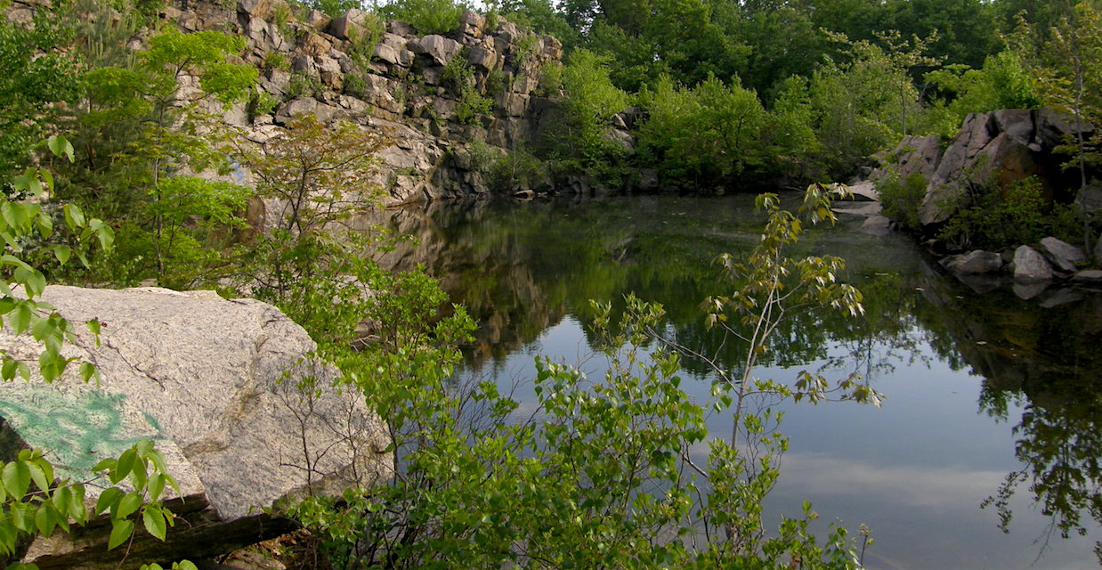
Quarry

Long Path/Bike Path Loop from Landing Road
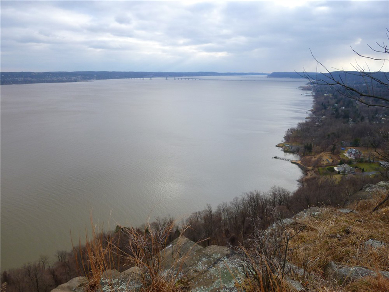
View across the Hudson River from the Long Path - Photo by Daniel Chazin
View of the Hudson River from Hook Mountain - Photo credit: Daniela Wagstaff
NYNJTC maintained: 
1
Summary: 

This loop hike follows the ridge of Hook Mountain, with many views, and returns via a bike path along the Hudson River.

5 hours
Moderate
7 miles
Route type: 
Circuit
Allowed on leash
Historic feature
Views
Cliffs
Hook Mountain State Park
Rockland County
NY
Rockland
111 Hudson Palisades Trails
03/10/2006
12/28/2020
Driving: 

Take the Palisades Interstate Parkway north to Exit 4, and turn left at the bottom of the ramp onto US 9W. Continue north on US 9W for about 10 miles (2.6 miles beyond the intersection with NY 59 in Nyack). At the bottom of a hill, turn right and enter Rockland Lake State Park. Continue ahead on the main park road, which curves to the right, and proceed for 1.5 miles to a three-way intersection. Here, the main road bears left, but you should continue ahead onto Landing Road (marked by a “No Outlet” sign). After passing a fire station on the right, park in the spaces provided along the road, just before a barricade across the road.

The aqua-blazed Long Path -- which will be your route for the first part of the hike -- crosses the road near the barricade. Follow the Long Path to the north (left) as it begins to climb the ridge of Hook Mountain. In a short distance, you'll notice an old cemetery (the Wells Family Burial Ground) behind an iron fence on the right, with gravestones dating to the 1840s. You'll want to stop and take a look at this interesting feature.

Reference/Source: 
Bergen Record: Hike of the Week

Granite Knolls Easy Loop

Slabs of granite quarried from the Giant Boulder Photo: Jane Daniels
NYNJTC maintained: 
1
Summary: 

This hike loops around this park, passing many interesting boulders.

2 hours
Easy
3 miles
Route type: 
Lollipop
Allowed on leash
Bikes allowed
Historic feature
Woods
Historic: 
Granite Knolls Park
Westchester County
NY
Westchester
01/13/2012
11/15/2016
Driving: 

Northbound on the Taconic State Parkway: Take the exit for Route 132 (Shrub Oak). At the top of the ramp, turn left onto NY 132 (Old Yorktown Road). Bear left at a fork in 0.2 mile to continue on Old Yorktown Road, and make the next left onto Buckhorn Street. Continue for about 0.3 mile to a cul-de-sac at the end of the street, where parking is available.

Southbound on the Taconic State Parkway: Take the Route 6 exit and turn right. Make an immediate left onto Route 132. At a triangle intersection, turn right. Turn left onto Buckhorn Street. Continue for about 0.3 mile to a cul-de-sac at the end of the street, where parking is available.. 

From the cul-de-sac, proceed ahead on a path which soon turns left and reaches a junction with the Yorktown Trailway – a wide path that parallels the Taconic State Parkway, with occasional green blazes. Turn right onto the Yorktown Trailway. At first, the Trailway follows a boardwalk below the level of the Parkway, but it soon climbs to the level of the Parkway, then again descends. After moving some distance away from the Parkway, it again approaches it – this time, overlooking the road.

Reference/Source: 
Daniel Chazin

Cranberry Lake Preserve Loop

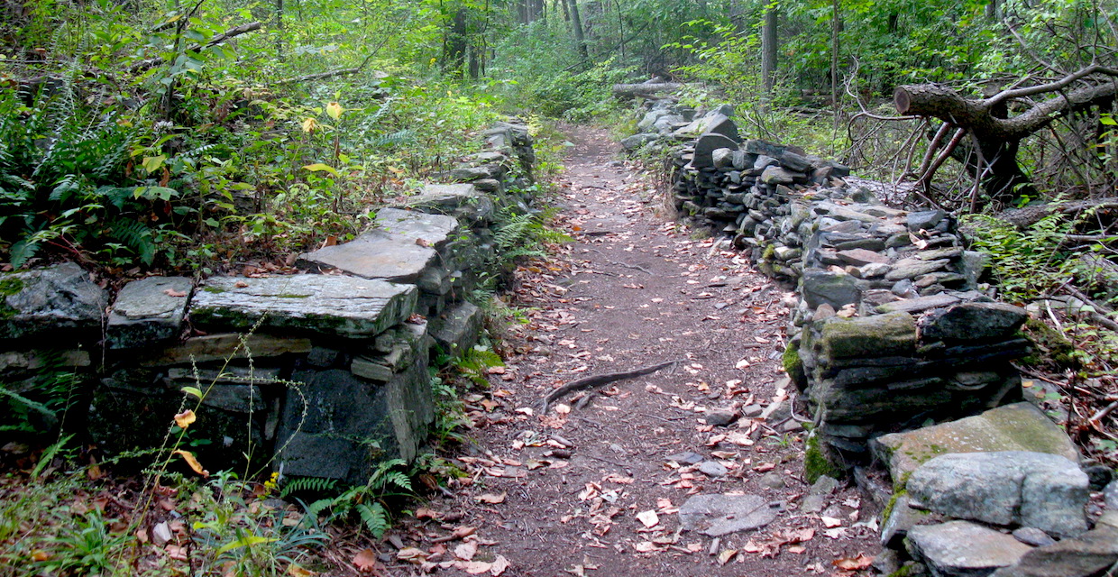
Harriman-Bear Mountain State Parks - Cranberry Lake stone wall and "Stone Chamber." Photo by Daniel Chazin.
Cranberry Lake Preserve - Photo: Jane Daniels
NYNJTC maintained: 
1
Summary: 

Remenants of quarry operations, old stone walls,a small cascade, and scenic Cranberry Lake are features on this hike at Cranberry Lake Preserve. 

2 hours
Easy
3 miles
Route type: 
Circuit
No Dogs
Historic feature
Birding
Wildflowers
Historic: 
Cranberry Lake Preserve
Westchester County
NY
Westchester

Cranberry Lake Preserve map (available at Nature Center)

02/25/2005
06/29/2018
Driving: 

From the Bronx River Parkway at the Kensico Dam, take Route 22 North  Once past the dam, turn right at a traffic light onto Old Orchard Street. In about 100 feet, turn right into the Cranberry Lake Preserve, and continue ahead for 0.3 mile to the Nature Center, where parking is available. (If the entrance gate is closed, park outside the gate and walk along the road.)

Although comprising only 190 acres, Cranberry Lake Preserve is surrounded on several sides by Boardwalk along Yellow and Blue Trails. Photo by Daniel Chazin.watershed lands.

Reference/Source: 
Bergen Record: Hike of the Week

The Quarries in Sylvan Glen Park Preserve

State: 
NY
Date: 
08/25/2012
Region: 
Westchester County
Description: 

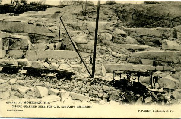
Postcard of quarry

Timeline

1895 "Golden Granite" discovered

1925-1941 Grenci & Ellis operated the quarry

1950s buildings still standing

1950s Mogul Park ran a day camp for residents

1952 gasline went through - expanded in 1956

1981 Town of Yorktown purchased as parkland - trails established by the Yorktown Land Trust

1989 Town acquired Goldschmidt property but not declared parkland until 2009

2010 Trails in new section of park built by Yorktown Community Trails Program of NYNJTC

2015 The Cathedral Church of St. John the Divine in NYC contacted the Parks Department to see if they could purchase more stone to finish the Cathedral. The answer was no because it is parkland and thus protected.

Reference Materials

Other historic features in the park

  • Lime Kiln and shell middens (on gasline west of Turtle Pond Trail (white) crossing)
  • Quarry Oak (approximately 300 year old white oak - 220 inch circumference, 104 feet height, 102 feet spread) Big Tree rating 349.5.
  • Riding ring which is the Ring Trail