Information regarding the Wolpert parcel on the Shawangunk Ridge

See below for attachments:
Map of property along Shawangunk Ridge (PDF)
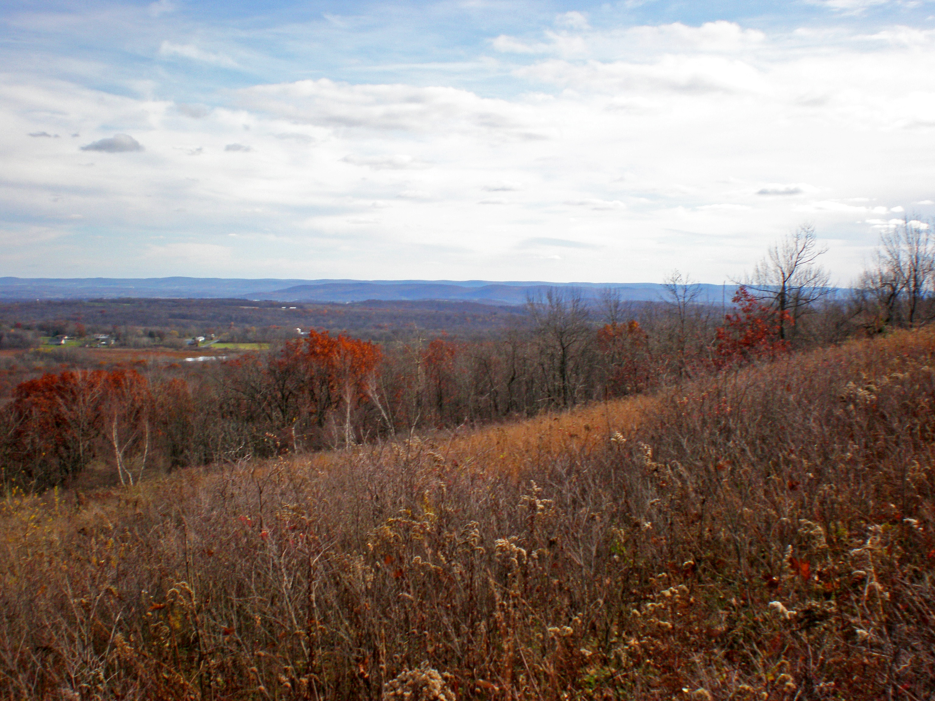
Photo from Wolpert Parcel, facing east (JPEG)
C&A Policy document with mark-ups (Word Doc)
Town of Greenville Comprehensive Plan - 2002, Volume 1: Comprehensive Plan (PDF)
Town of Greenville Comprehensive Plan - 2002, Volume 2: Special Studies Supplement (hard-copy in office)
Town of Greenville Zoning Code - 2007 (PDF)
Town of Greenville Zoning Map - 2006 (PDF)
Wolpert Parcel Data and Tax Map (PDF)
Wolpert Appraisal, dated 5-12-2011 (PDF) NOTE: Please keep this information, including its existence, confidential to the Conservation & Advocacy Committee and Board of Directors.
| Attachment | Size |
|---|---|
| 454.43 KB | |
| 45 KB | |
| 1.71 MB | |
| 1.82 MB | |
| 5.26 MB | |
| 636.97 KB | |
| 1.09 MB | |
| 3.53 MB |