Dear Reviewer,
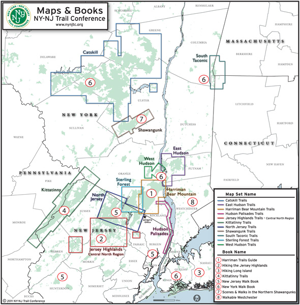
The maps for our new 8th edition of the Shawangunk Trails map set are essentially complete and ready for final review by landowners and other individuals. Changes to the map set from the previous edition are mostly minor adjustments, but there are some significant revisions that affect the trails and lands shown on the maps. We would like to provide you with an opportunity to review these maps before we go to print and have enclosed a set for you to examine.
We invite your attention to the identification of any errors that we may have inadvertently included. The basic principle that we follow in the production of our maps is that we intend to show what is actually on the ground. Our intent is to make our maps as convenient and useful as possible to the hiking public. It would also be very helpful to identify any other points of interest, parking areas, names of features, and viewpoints that may have been overlooked. Additional GPS track and/or waypoint data for any of these items is not necessary but would certainly be appreciated if available.
Due to our recent and very successful publications sale celebrating our 90th Anniversary, we are rushing to get this map set to the printer. As such, we ask that you please return any feedback as quickly as you can and no later than Thursday, October 28th if possible. The best means of communicating your corrections/comments would involve marking the map and returning it to Jeremy at the Trail Conference office. If you have many comments, it is best if you put numbers on the map that can be linked with a separate document describing the comments. If your comments can be communicated effectively via phone or e-mail, that would work as well.
Thank you in advance for your help!
Jeremy Apgar
Cartographer
New York-New Jersey Trail Conference
600 Ramapo Valley Road
Mahwah, NJ 07430
(201) 512-9348 x15