Latest PDF Maps App Developments: Map Bundles and New Maps!
August 25, 2015
New York-New Jersey Trail Conference
Title
Latest PDF Maps App Developments: Map Bundles and New Maps!
Body

This past summer, the Trail Conference surpassed 60,000 map downloads through Avenza’s PDF Maps app—and these digital maps only continue to increase in popularity as more and more people on the trails discover their enhanced capabilities. We are excited to now offer new digital map offerings and provide additional options for obtaining them—including map bundles and online purchases from a desktop PC—to help get these essential tools onto the devices of even more outdoors-loving people.
In August, the app’s developer updated the software and included the ability for users to download collections of maps, called map bundles. This option makes it even easier to download our most popular map sets, like the two-map Harriman-Bear Mountain set or six-map Catskill set, while saving money versus buying each map individually. We currently offer nine map bundles, which can be found within the app’s map store by searching for the map titles.
Another update: It is now possible to access the app’s map store and download free and for-sale maps using any browser on a desktop PC or mobile device. Avenza’s pdf-maps.com/maps website now allows you to search for maps, view preview images, and purchase maps without a mobile device. You can check out using PayPal or debit/credit cards instead of the payment linked to your mobile device’s app store.
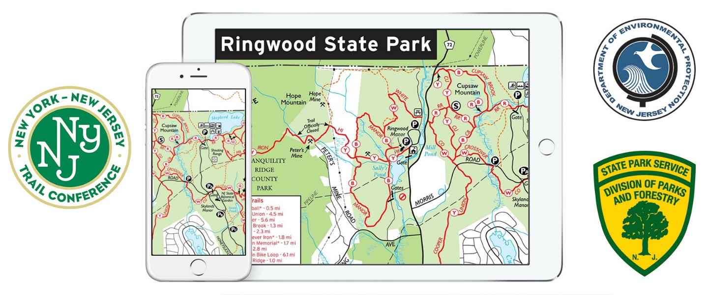
We now have more than 60 maps available for download, including 18 that have been added or updated in 2015, such as our new South Taconic Map, new Harriman-Bear Mountain maps with trail mileage, a free map of Ramapo Valley County Reservation next to our new headquarters, and 12 free maps covering several northern New Jersey State Parks (see N.J. State Parks article). Find our complete listing of available maps at nynjtc.org/pdfmaps#MapsAvailable.
As always, these digital maps are not meant to be a replacement for printed maps that every trail user should have—they are a supplement to help enhance your outdoor experience. Batteries can die, software can become buggy, and weather can become problematic, so have a printed map with you just in case.
We are thankful to everyone who uses the app, recommends it to others, and takes the time to contact us with suggestions and feedback. The funds received from our app map sales, just like our print map sales, go right into the trail work we do in the region, so we hope users will continue to spread the word. It is great hearing back from trail maintainers using the app to report trail problems, invasive species surveyors using the app to mark locations of invasive plants, and hikers using the app to report map changes or corrections. The popularity of these digital maps has certainly shown us how we can further develop opportunities to help more people explore our region’s trails safely.
For a more comprehensive guide to this app and more suggestions for how to use it, visit nynjtc.org/pdfmaps.
