2023 - 13th edition
Our Catskill Trails Map is a six-map set featuring trails in and around Catskill Park in New York.


2023 - 13th edition
Our Catskill Trails Map is a six-map set featuring trails in and around Catskill Park in New York.
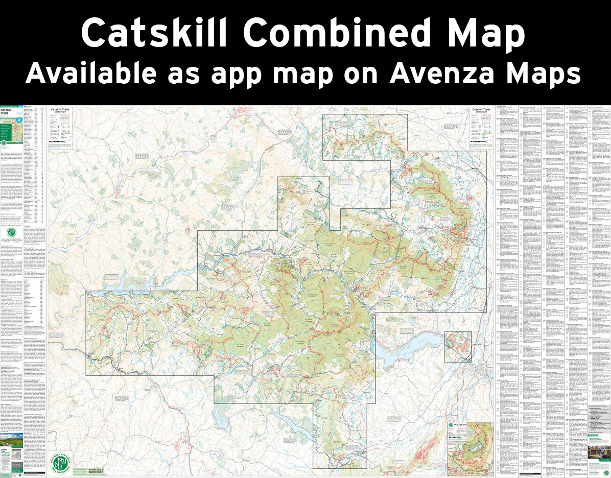
Our Catskill Trails Map is a six-map set featuring trails in and around Catskill Park in New York, and the maps are printed in vibrant color on waterproof and tear-resistant Tyvek. Covering more than 420 miles of trails and more than 325,000 acres of protected land, the revised 13th edition of Catskill Trails is the best map yet for exploring the vast wilderness of the Catskills.
The 2023 edition features several trail updates and additions, including new trails like the Red Hill Fire Tower Trail and trails within Bluestone Wild Forest. Several trail lines have been updated with newer GPS data, and updates to viewpoints include both the addition of new views and the removal of some viewpoint stars at overgrown locations. Adjustments have been made near Doubletop and Graham mountains to indicate no public access. Many other updates including the addition of newly-protected lands, updated trail description text, and other adjustments make this the most accurate and up-to-date map yet of this region!
Map features include:
Our updated Catskill Trails Map is also available on Apple and Android mobile devices through the Avenza Maps app, including as an updated "Catskill Combined" map with an expanded coverage area. To get the latest maps, see the links above (to the right of the cover graphic)! Learn more about the app here.
Special thanks to volunteer project manager George Dagis and all the volunteers and park partners who helped produce this map revision!
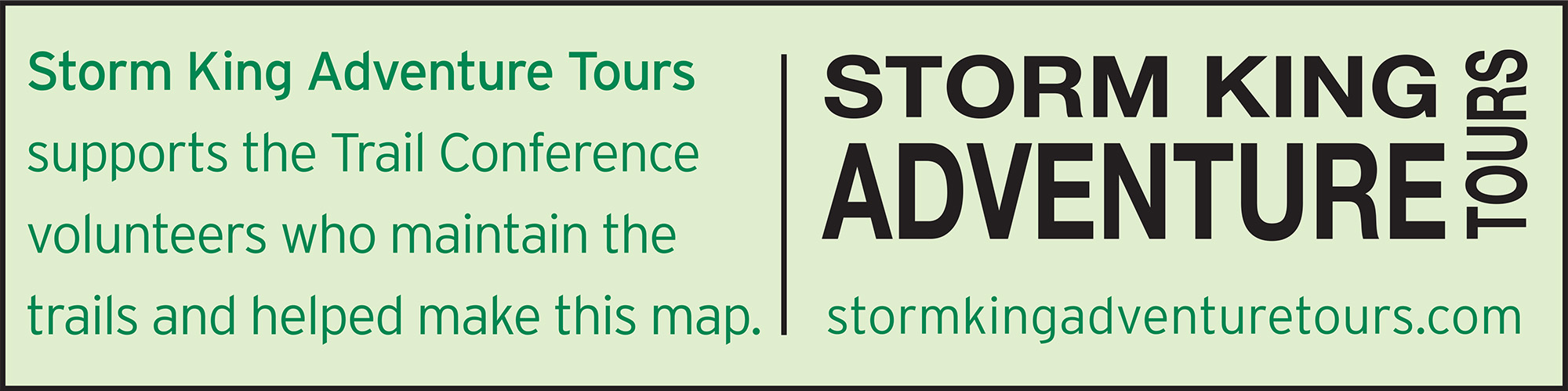
This map was also produced with support from Storm King Adventure Tours, a proud supporter of our volunteers!
Trail Conference maps are built on more than 85 years of mapping experience. They are the trusted source for reliable trail information in the New York-New Jersey metropolitan region. These maps are "Made By the People Who Build the Trails" and are regularly updated with changes to the trails.


Write a review