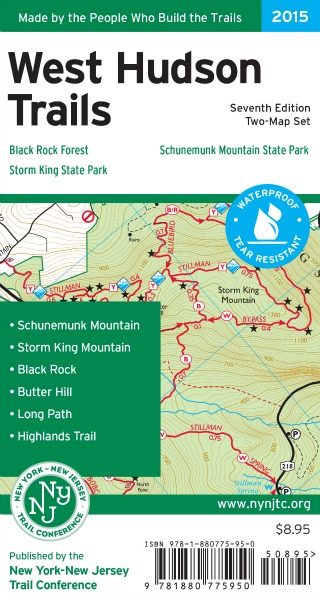
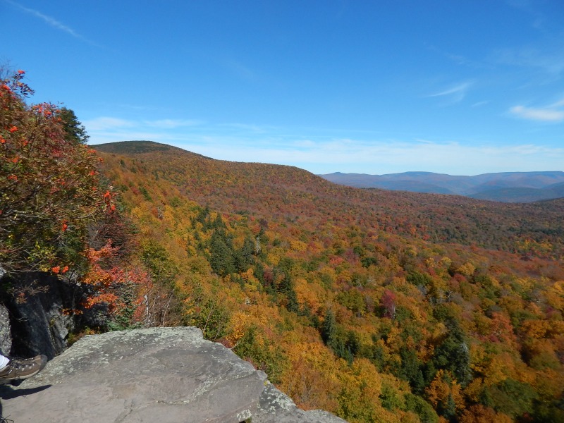
Plan Your Fall Hikes with New Editions of the West Hudson and Catskills Trails Map Sets
Title
Body
New Seventh Edition of West Hudson Trails Map Set Inlcudes Trail Mileage

Made by the people who build the trails, this map set features more than 70 miles of marked trails in Storm King State Park, Black Rock Forest, Schunemunk Mountain State Park, and other nearby parklands. Nearly 25 miles of the Highlands Trail, along with more than 10 miles of the Long Path, are shown on the maps. Along with the trail mileage figures, this revised edition has trail lines that have been redrawn based on newer, more accurate GPS data and aerial photography. A new trail has been added in Black Rock Forest, and several additional viewpoints have been added throughout the maps. Other corrections and adjustments to the trails and map features make this seventh edition of West Hudson Trails the most accurate we have ever published.
This revised edition, released in August, includes trail mileage figures directly on the map front, providing distances between trail junctions and significant trail features. Additional map features include 20-foot contour lines, UTM gridlines, green overprint for protected lands, parking areas, and other points of interest.
At only $8.95 ($6.71 for Trail Conference members), this map set is a must-have for exploring these parklands in Orange County west of the Hudson River. To obtain the newly revised print map set, shop online, call 201-512-9348, or visit the Trail Conference office.
Visit nynjtc.org/content/more-about-publications/ and click on the West Hudson Trails cover panel for additional resources, including suggested hikes, park contact information, and much more!
Revised 11th Edition of Catskill Trails Map Set Available this Fall

Already one of the Trail Conference’s most popular maps, a revised 11th edition of the Catskill Trails map set will provide hikers with the most up-to-date and accurate trail map of the Catskill Park available when it is printed this fall. This six-map set highlights trails in and around Catskill Park in Delaware, Greene, Schoharie, Sullivan and Ulster counties of New York, covering more than 325,000 acres of protected land.
Made by the people who build the trails, this map set features more than 400 miles of marked trails in and around Catskill Park, including over 100 miles of the Long Path. This revised edition includes several trail updates and other adjustments to the maps. The approximately 9.5-mile route of the Long Path through Slide Mountain Wilderness is now shown in its entirety, and the location of the newly opened Catskill Interpretive Center in Mount Tremper is indicated. The DEC parkland classifications have been adjusted near Belleayre Mountain to reflect recent changes, and additional New York City Department of Environmental Protection watershed lands have been added throughout the map coverage area. Many additional minor corrections and changes have also been added, making this new edition of the Catskill Trails map set more accurate than ever before.
Additional map features include 50-foot contour lines, detailed trail mileages, all 35 peaks in the Catskills over 3,500 feet, lean-tos, springs, and other points of interest. Detailed trail descriptions on the map backs have been updated with the latest trail changes.
At only $16.95 ($12.71 for Trail Conference members), this comprehensive map set will be a must-have for exploring the wild outdoors of the Catskills when it becomes available. The map set is expected to be available sometime in October. To obtain the revised print map set, shop online, call 201-512-9348, or visit the Trail Conference office.
Visit nynjtc.org/content/more-about-publications and click on the Catskill Trails cover for additional resources, including suggested hikes, park contact information, campgrounds, map index, hiking club information and much more!
As always, Trail Conference maps are available in print format in vibrant color on waterproof, tear-resistant Tyvek. The maps are also available in digital format on Apple and Android devices through the PDF Maps app; learn more about our GPS-enhanced maps at nynjtc.org/pdfmaps.These map sets were produced with support from Campmor, an outdoor store and retail partner of the Trail Conference.
