Lookout

Hudson Highlands Gateway Park

Historic: 
Complete: 
Yes
Mushroom by a log Photo:Jane Daniels
NYNJTC maintained: 
1

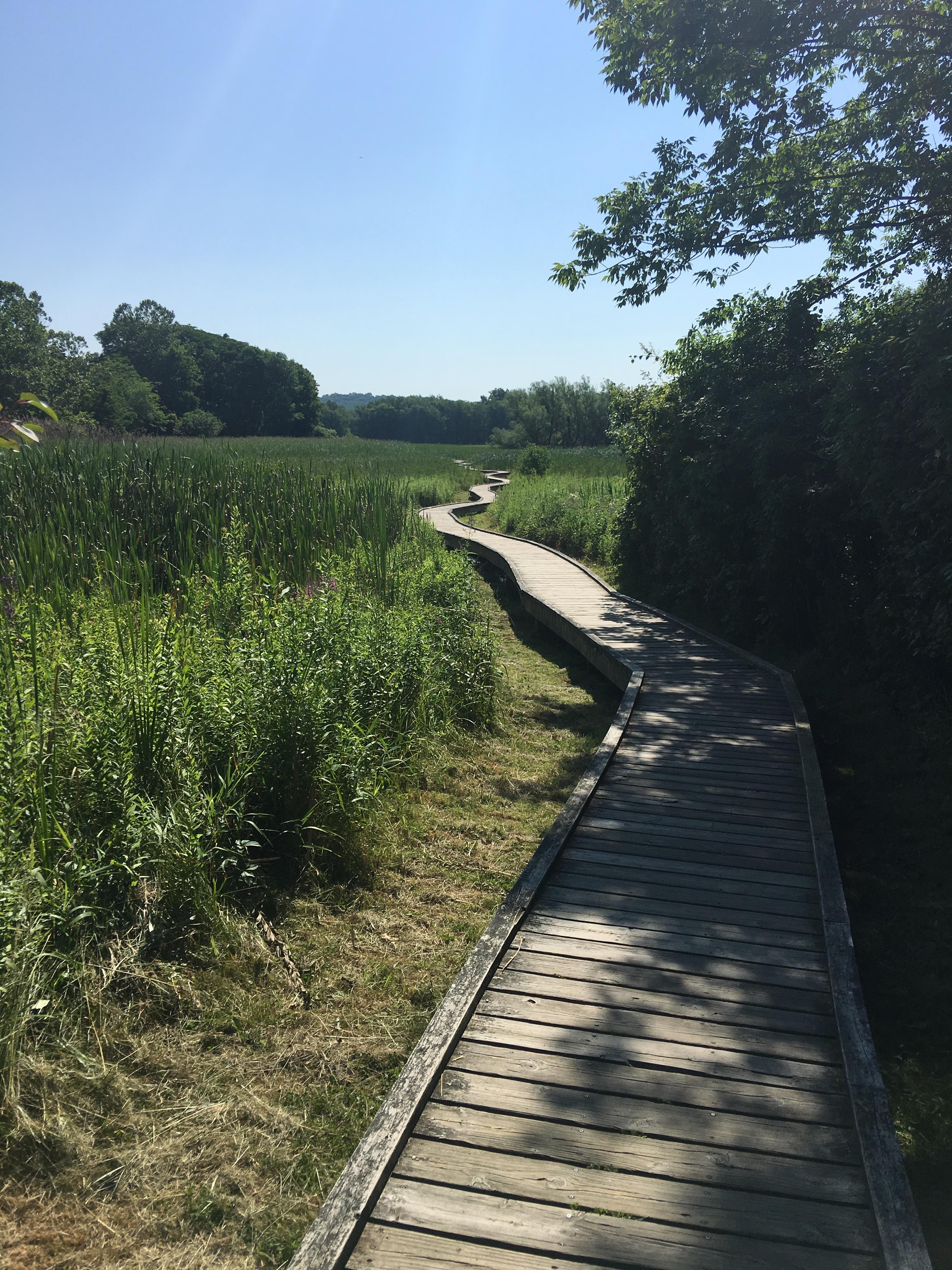
Once a Revolutionary War lookout site, Hudson HIghlands Gateway park was preserved in 2000 for hiking, birding, cross-country skiing, fishing and snowshoeing.

Hiking
X-C skiing
Dogs on leash
4 miles
352 acres
Lat/Lon: 
41.313604, -73.923977
Cortlandt
Westchester
NY
Cluster/Park: 
Park

In 1998, a coalition of 35 groups representing homeowners, the community, government agencies and several environmental organizations gathered to preserve this site, which had twice been threatened by development. Scenic Hudson Land Trust and Westchester County raised $6 million in 2000 to buy the parcel, with the Town of Cortlandt managing it. In 2016, the Town of Cortlandt became the sole owner, with Scenic Hudson holding a permanent conservation easement.

The trail system in Gateway was designed to minimize its impact on wildlife. The trails utilize existing woods roads and avoid going too close to vernal pools. The four trails pass through a meadow, wetlands, succession forest, and uplands. 

From Route 9 at the Annsville Circle, just north of Peekskill, go north 0.6 mile and turn right onto Roa Hook Road at a traffic light. When Roa Hook Road ends at Highland Avenue, turn right and take an immediate left onto Sprout Brook Road. Go 0.3 mile to parking to the right, just past the parking lot for the athletic fields in Sprain Brook Park 41.313854, -73.924137. The entrance to the park is through a gap in the guardrail on the opposite side of the road. 

To reach parking on Doris Lee Drive, follow the directions from Annsville Circle. But instead of turning right, cross Highland Avenue and turn left onto Old Albany Post Road, which parallels Highland Avenue. Turn right onto Doris Lee Drive to end at the parking lot  41.312298, -73.927311W

No public transportation.
Fees: 
None
Landowner: 
Municipality
Manager: 
Town of Cortlandt

Hart's Brook Preserve

Complete: 
Yes
Winter at Heart's Lake Photo: Jane Daniels
Flowering trees Photo:Jane Daniels
NYNJTC maintained: 
0

Picture perfect describes Hart’s Brook Park and Preserve, located in the heart of lower Westchester. The open lawn of the former Gaisman Estate greets visitors and hints at what is to come. A tranquil pond, stately woodlands, flowing streams, and open fields entice visitors back for frequent visits.


Hiking
X-C skiing
Dogs on leash
3 miles
123 acres
Lat/Lon: 
41.020399, -73.807902
Greenburgh County
Westchester
NY
Cluster/Park: 
Park

Henry Gaisman, founder of Gillette, purchased 135 acres in 1932 and passed the title to the Archdiocese of New York with the understanding that he and his wife, Catherine, would reside there as long as they lived. Currently the Town of Greenburgh does a great job of managing the park. The lush green trees at Hart's Brook Reserve give a quaint feel as you walk by the trails. Somehow they give the message: “relax and stroll, there’s no need to hurry.” 


For the most part, the wide woodland trails are gently graded and wide enough for walking two or three abreast. Conditions permitting, the trails are ideal for snowshoeing or cross-country skiing. There are geological features along the woodland trails and opportunities for studying a variety of wildlife. A stone building near the pond was a warming hut in winter. It silently attests to the opulence of a bygone era.


From the Sprain Brook Parkway, take Route 100B Exit and at the end of the ramp head east. At West Hartsdale Avenue (Route 100A), turn right and continue about 3 miles to Ridge Road. Turn right and follow the signs to the park entrance on the right.


Fees: 
None
Landowner: 
Partnership
Manager: 
Town of Greenburgh
Region - Maintenance: 

Appalachian National Scenic Trail

Complete: 
Yes
New Jersey Boardwalk on the Appalachian Trail - Photo Moe Lemire
Appalachian Trail near Bellevale, NY - Photo Marie-Pierre Castermans
NYNJTC maintained: 
1

A beautiful 162-mile segment of the Appalachian Trail passes through the New York-New Jersey region.


Hiking
X-C skiing
Accessible
Dogs on leash
162 miles
Lat/Lon: 
41.244185, -74.287035
Multiple locations /NY/NJ
Orange
US
Cluster/Park: 
Park

The Appalachian Trail is one of the longest continuously marked footpath in the world, measuring roughly 2,180 miles in length. The Trail goes through fourteen states along the crests and valleys of the Appalachian mountain range from the southern terminus at Springer Mountain, Georgia, to the Trail’s northern terminus at Katahdin, Maine. 

An overview map of the trail along its entire length is available from the National Park “Appalachian National Scenic Trail” web page. 

The AT is uniformly marked with a 2" x 6" white-painted, vertical blaze.

For detailed descriptions of hikes along the AT in NY and NJ click the "Choose another experience" button on this web site.  In the search field enter "Appalachian Trail."  The majority of these are loop hikes in conjunction with other trails.  For AT-only hikes click here. The database includes a few AT hikes in nearby sections of Pennsylvania and Connecticut. 

Two of the few wheelchair accessible sections from Georgia to Maine are in this region:


Driving:

Parking is available in all the parks listed on this site that host a segment of the AT.   One spot identified on this web page is where the AT crosses NY-17A  near Warwick, NY.  GPS Coordinates: 41.244185, -74.287035.

On the Appalachian Trail Region page look for the link “Parking along the AT.”  It features parking areas organized by state.

Public Transportation:

Hike descriptions that include the AT will indicate if public transportation (train or bus) is available to a particular trailhead. 

The AT crosses the Metro-North Railroad’s Harlem Line at the Appalachian Trail station (just off N.Y. Route 22, between Pawling and Wingdale) -- the only train station located directly at an AT crossing anywhere along the 2,180-mile-long trail!  Limited service is provided at the Appalachian Trail station, with trains stopping there only on Saturdays, Sundays and holidays (the station, which is little more than a low-level platform, is not wheelchair accessible).  At other times, hikers may board trains at Pawling (to the south) or Harlem Valley-Wingdale (to the north).  Trains run north to Wassaic and south to Grand Central Terminal in New York City.


Fees: 
Some times and places; check with park
Last Update: 
02/26/2017
Modified By: 
Phil McLewin

Batona Trail

Complete: 
Yes
Along the Batona Trail in Wharton State Forest - Photo by Daniel Chazin
NYNJTC maintained: 
0

A 50 mile trail that connects three state forests in the heart of the New Jersey Pinelands.

Hiking
Mountain biking
X-C skiing
50 miles
Lat/Lon: 
39.644613, -74.646765
Hammonton
Atlantic
NJ
Cluster/Park: 
Park

Extending 50 miles through the heart of the Pinelands, the Batona Trail [pink] is the longest blazed hiking trail in southern New Jersey. It starts from Bass River State Forest and goes through Wharton State Forest and Brendan T. Byrne State Forest. The trail was established in 1961 by the Batona Hiking Club of Philadelphia, and it is still maintained by that group.


To pierce the genuine wilderness of the area, the Batona Trail avoids the sand roads as much as possible. Still, about 20% of the treadway is soft sand, which makes for slower-than-expected progress in parts of this mostly level trail. Good starting points for the trips on the trail are the Brendan T. Byrne State Forest headquarters and the Batsto Visitor Center. Trail maps and information may be obtained there, as well as at the Atsion Ranger Station and the Bass River Forest Office. A permit is required to camp along the trail in state forests.

Use the Web Map link on this site to view a brochure and Batona Trail map.

The southern terminus of the Batona Trail is near the junction of French Coal Road and Stage Road, near Lake Absegami, in the Bass River State Forest.  GPS Coordinates:  39.620531, -74.424639

Its northern terminus is at Ong’s Hat on Magnolia Road in the Brendan T. Byrne State Forest [1.5 miles northwest of Four Mile Circle]  GPS Coordinates: 39.910986, -74.620857


Fees: 
None
Last Update: 
01/23/2017
Modified By: 
Phil McLewin
Region - Maintenance: 

Garret Mountain Reservation Loop via Yellow and White Trails

East-facing view from the Yellow Trail - Photo by Daniel Chazin
NYNJTC maintained: 
1
Summary: 

This loop hike visits less-used areas of this popular park, passing several outstanding views over northern New Jersey and the Manhattan skyline.

2 hours
Easy to Moderate
3 miles
Route type: 
Circuit
Allowed on leash
Historic feature
Public Transportation
Views
Cliffs
Historic: 
Garret Mountain Reservation
Watchungs
NJ
Passaic
10/03/2003
12/20/2013
Driving: 

Take I-80 to Exit 57A. Proceed south on NJ 19, and take the first exit (Valley Road). Turn right at the top of the ramp, then make the first right turn, which leads into the parking area for Lambert Castle. Continue past the castle, then turn sharply left and proceed to the southern end of the parking area. (If you have additional time, you may also wish to visit the historic castle; check open hours. An admission fee is charged to enter the castle, but there is no charge for parking.) 

From the southern end of the parking area, follow the the Morris Canal Greenway Trail (marked with canal-boat-logo-on-yellow blazes), which proceeds rather steeply uphill on a macadam path and stone steps. The trail turns right onto a wide, paved path, which switchbacks up to the top of the mountain.

Reference/Source: 
Bergen Record: Hike of the Week

South Mountain Reservation South Loop

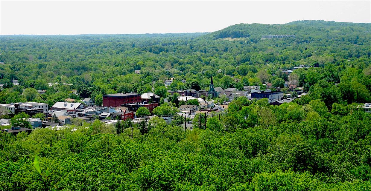
South Mountain Reservation view - Photo: Daniel Chazin
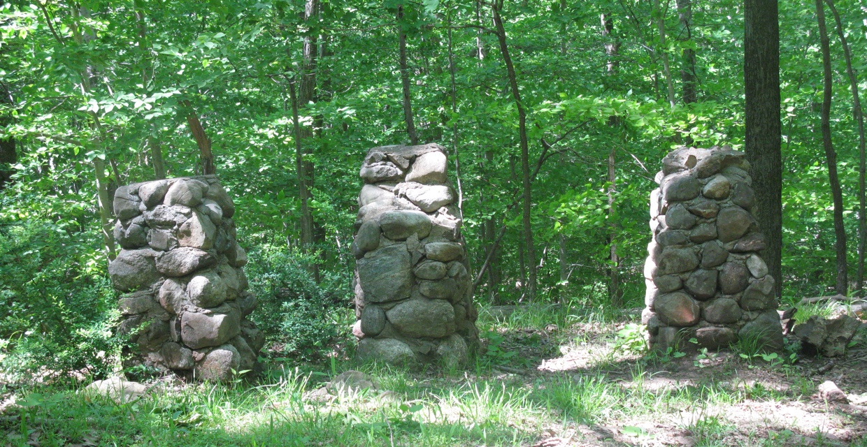
Stone pillars - South Mountain Reservation - Photo: Daniel Chazin
NYNJTC maintained: 
1
Summary: 

This loop hike includes a panoramic viewpoint, a scenic waterfall, and a stroll along a pleasant stream.

4 hours
Moderate
6 miles
Route type: 
Circuit
Allowed on leash
Historic feature
Public Transportation
Views
Waterfall
Historic: 
South Mountain Reservation
Watchungs
NJ
Essex

South Mountain Reservation trail map (available from the Essex County Department of Parks, Recreation, and Cultural Affairs, (973) 268-3500 x238)

02/24/2004
01/27/2020
Driving: 

Take I-78 to Exit 50B (Maplewood, Millburn) and continue north on Vaux Hall Road for 0.7 mile. After crossing a bridge, turn left onto Millburn Avenue. In 0.5 mile, the traffic is routed to the right, onto Essex Street. After passing the Millburn railroad station, turn right onto Lackawanna Place. At the next intersection (Glen Avenue), turn right and then make an immediate left into the Locust Grove parking area.

Train: 

To reach the trailhead by public transportation, take the NJ Transit Morristown Line to the Millburn station. (From Bergen County, you can take a train on the Main Line/Bergen County Line to Secaucus Junction and transfer there to a Morristown Line train.) From the western end of the platform at the Millburn station, walk north along Lackawanna Place to Glen Avenue, then cross Glen Avenue and enter the park at the Locust Grove parking area.

From the kiosk at the northeast corner of the parking area, follow the yellow-blazed Lenape Trail, which bears right onto a gravel road leading to a picnic area. The trail continues through the picnic area, then bears left and begins to climb the First Watchung Mountain on a wide path. It bears right at a fork, then turns right at a T-intersection (marked by a chain-link fence) onto a woods road, continuing to climb. 

Reference/Source: 
Bergen Record: Hike of the Week