Shawangunk Ridge Trail
The Shawangunk Ridge Trail was originally conceived as a relocation of the Long Path from Harriman State Park to Minnewaska State Park and envisioned following a portion of the AT in New York and New Jersey. Now part of the LP system, the SRT provides a backpack alternative to the Orange County route of the LP that has significant road walks and fewer camping opportunities.
The SRT is co-aligned with the LP from Shin Hollow Road to the High Point Trail in Minnewaska State Park, and from there the SRT is co-aligned with various other trails through Minnewaska and Mohonk Preserve, until it reaches the Wallkill Valley Rail Trail.
Click the graphic above to view this interactive StoryMap, or click here to view a full-screen version.
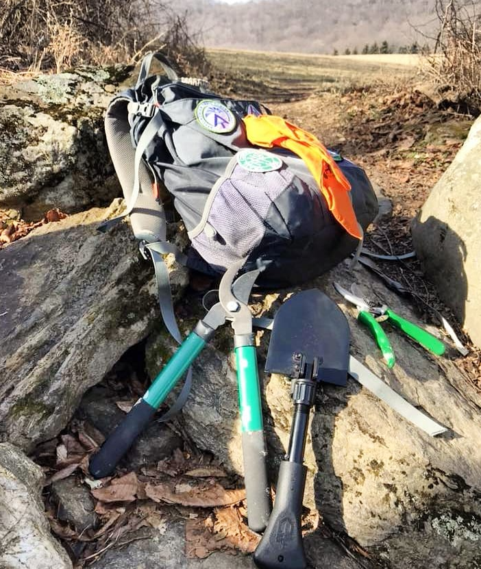
Join the Legacy: Volunteer as a Long Distance Trail Maintainer
Help keep the Shawangunk Ridge Trail beautiful! Our 2,000-plus volunteers build, maintain, and protect trails and care for natural areas all across the region. Your favorite parks and trails need you!