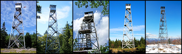
The five Fire Towers of the Catskill Park Total Mileage: Varies per tower (short hikes to moderate ascents; all under 5 miles one-way) Explore five iconic fire towers in the Catskill Forest Preserve, each offering sweeping views and a sense of history. This special collection includes trail maps for: These maps are adapted from our…
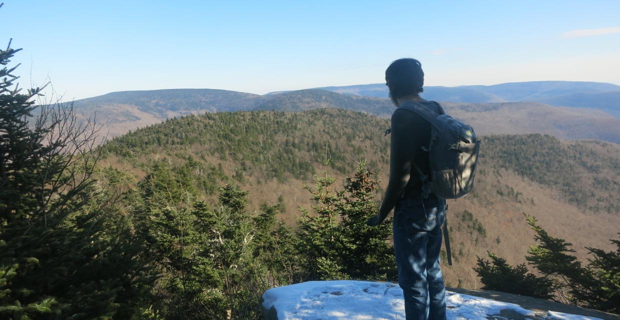
A hiker taking in the view from the Buck Ridge Lookout – Photo by Daniel Chazin Hikers planning to climb West Kill Mountain from Spruceton Road are in for a challenging and rewarding day in the Catskills. The trek climbs 1,700 feet over 3.4 miles to summit West Kill Mountain (3,880′), the sixth-highest peak in…
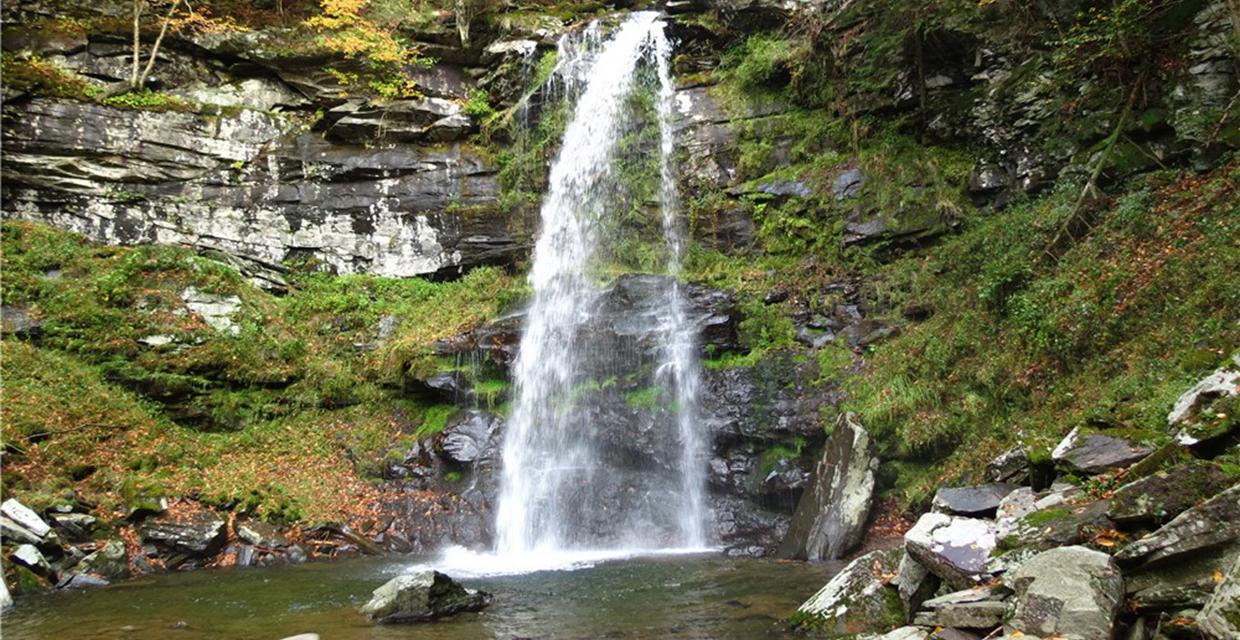
View of Plattekill Falls – Catskill Park – Photo credit: Daniela Wagstaff This versatile route through Platte Clove Preserve and Overlook Mountain Wild Forest can be tailored for a day hike or overnight backpacking trip. Options include a moderate 4.5-mile out-and-back to Codfish Point, a scenic 8.8-mile round trip to Echo Lake, or a full…
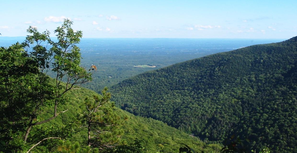
Discover sweeping Hudson Valley views on this scenic loop hike along the blue-blazed Escarpment Trail near North/South Lake. Highlights include panoramic overlooks like Sunset Rock and Inspiration Point, historic landmarks, and a peaceful mix of forest and escarpment edge walking. Ideal for moderate-level hikers seeking a rewarding Catskills adventure with stunning vistas and rich natural…
Join Us at the 2026 Trail Conference Annual Gala, Thursday, October 8