Yearly winter road closure schedule for 2025-2026, visit https://www.nps.gov/dewa/learn/news/winterservices2026.htm “Park staff give priority to plowing main roads through the park for the safety and convenience of local residents and visitors. Park staff will then plow secondary roads and parking areas to buildings open for public use. Some roads may receive no winter maintenance or will
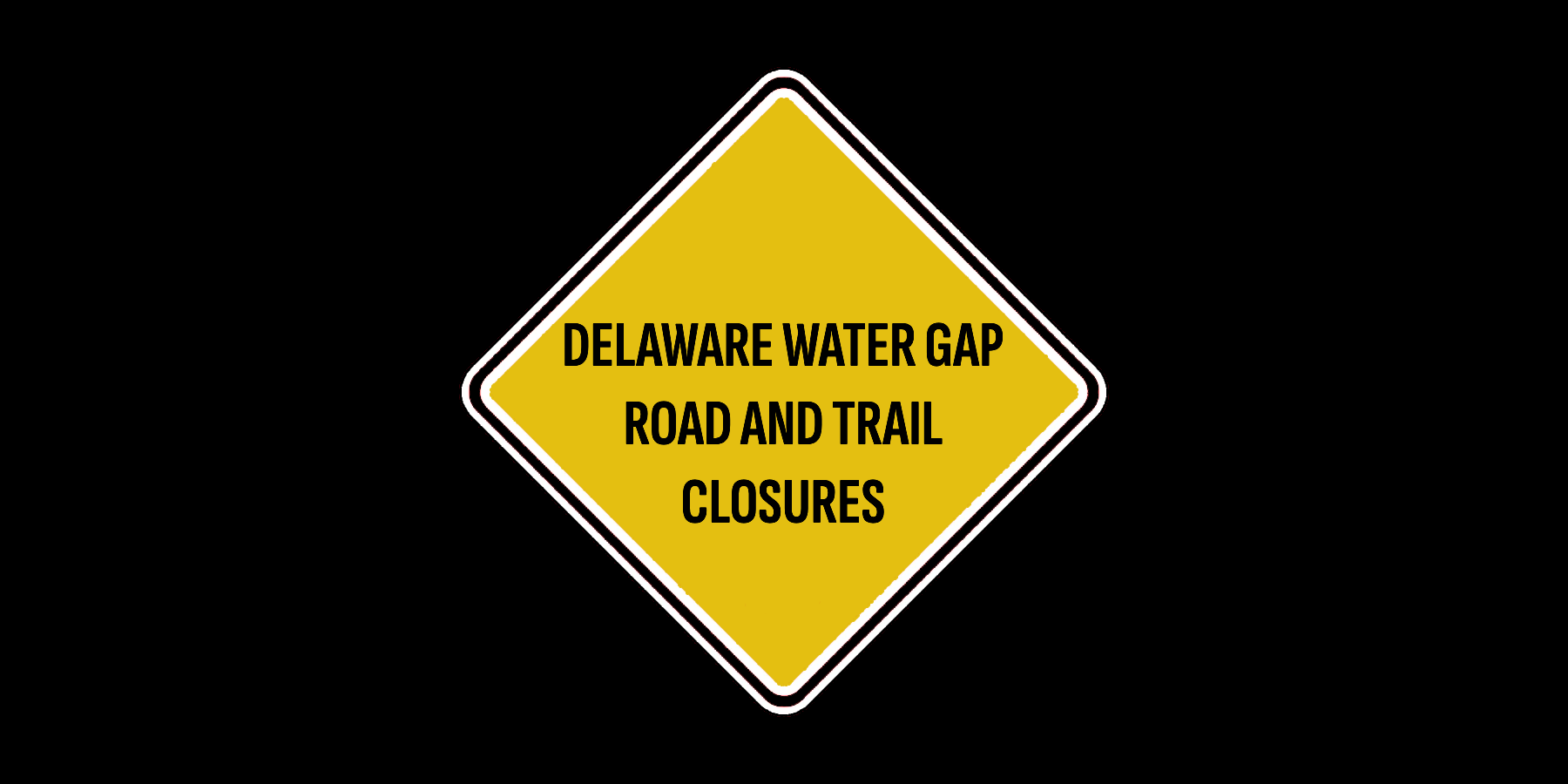
Numerous road closures may affect trailhead parking during the winter months. From an alert on the DEWA website: “Areas that will be closed through the winter were selected based on several factors including winterization of water supply systems, reduced custodial and maintenance staff, safety requirements, resource protection, and other priorities for snow and ice removal.