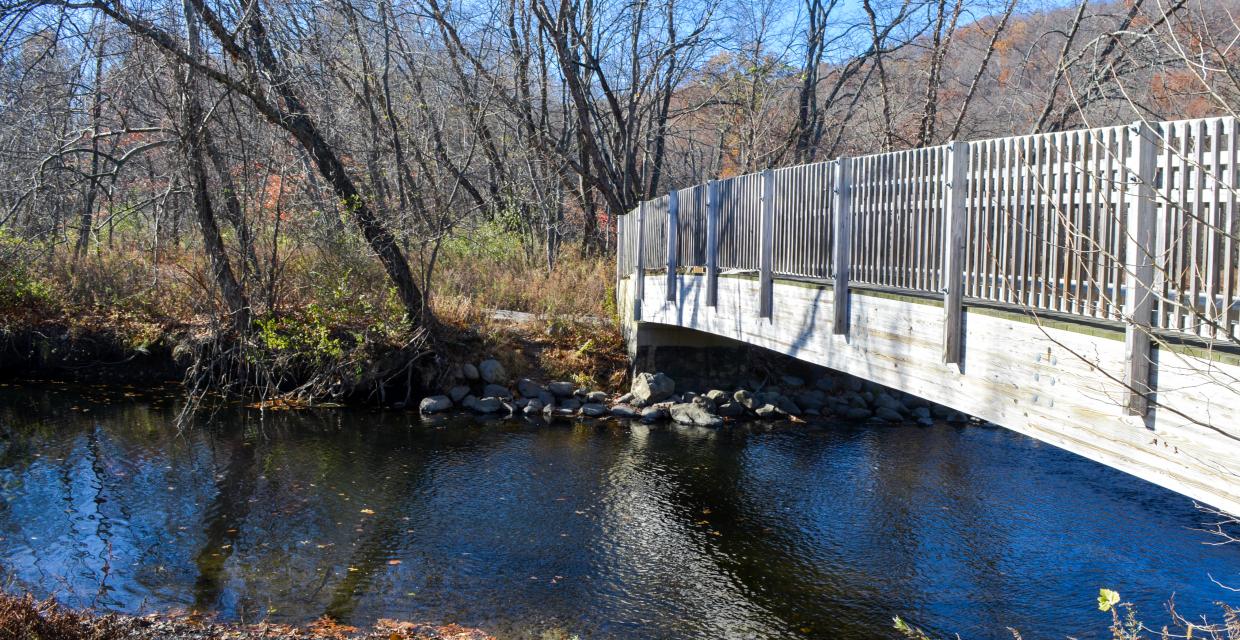
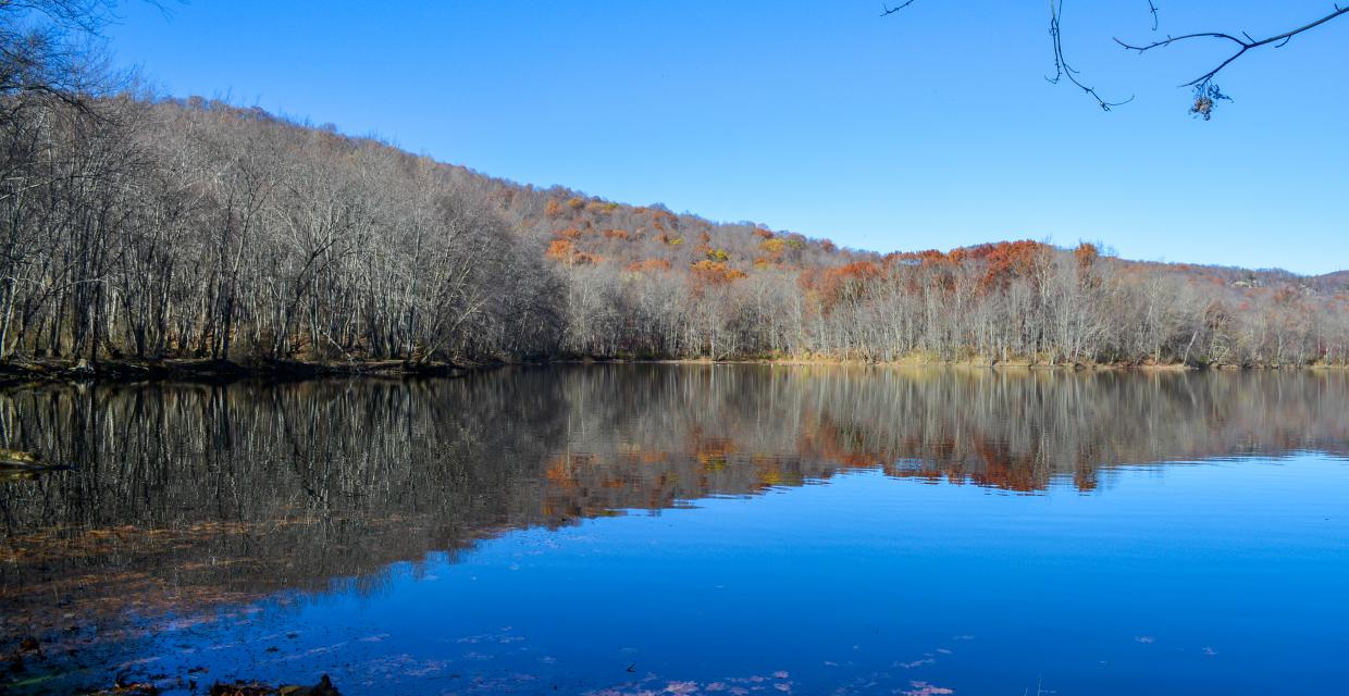
Those wishing to extend the hike can continue into the open field at the "Drinking Water" sign [it's about the watershed, not a spot to draw drinking water], proceed towards the well housing, cross Halifax Road into a fisherman's parking lot and dirt road, then beyond a rock barrier into another grassy field that has a wide mowed path. Along the way there are several access points to the river, and during the summer, because it's a fertile floodplain, the plants surrounding the path are so high as to provide a feeling of total isolation. When the path divides at the end of the field -- about one-third mile from the "Drinking Water" sign -- the left fork goes over a berm and narrows quickly leading to a [nameless] lake, or perhaps it's an eddy in the Ramapo River, and ends abruptly. It's a pleasant spot to linger. For those not wanting to re-trace steps back to Lake Henry, the other fork leads in one-quarter mile to a cul-de-sac at Washington Lane, following it "T's" into Halifax Road, a right turn onto Halifax goes back to the well housing on the left with Lake Henry in sight.
Map showing features of hike extension [tabs may load slowly].