Navigate the Trails with Just a Few Swipes
Title

Body
Have you checked out our app maps on Avenza Maps yet?
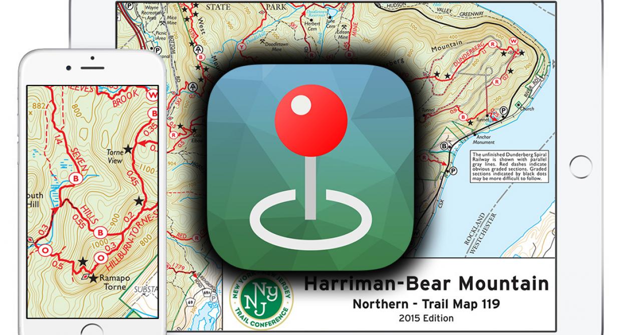
If not, you’re missing out on a very popular and helpful way to use our high-quality trail maps right on your phone or tablet. You can choose from more than 70 Trail Conference maps, including several maps that are only available as digital app maps. When combined with the GPS capabilities of your device, you can pinpoint your location on the map, record points and tracks, measure distances, and even report trail issues.
If you have been using the Avenza Maps app, thanks for your support, and please continue recommending it to fellow trail users whenever possible! Recently, we’ve expanded our offerings of maps to include new ‘combined’ maps that piece together maps that are, in print format, provided as separate maps. We now offer combined maps of the Catskills, Harriman-Bear Mountain, Kittatinny, North Jersey, and East Hudson. The app itself has also seen many improvements, including better ways to manage and export point and track data, improvements to managing your account and purchased maps, and behind-the-scenes fixes to improve performance and reliability.
We expect to continue expanding our catalog of digital app maps, and we will soon offer additional free maps. The app itself will also continue to be improved, especially in the coming months as enhancements to the app’s Map Store search will make it much easier to view our full catalog of maps. If you have suggestions for app maps or feedback about the app, you can use our online Contact Form to let us know what you think!
