Locust Grove
Locust Grove was the home of Samuel Morse, inventor of the commercial telegraph. The estate was subsequently owned by William and Martha Young who filled the house with an extensive collection of American decorative arts. It is now preserved by a private trust as a historic site and wildlife sanctuary. The mansion is open May 1st to November 30th. The visitor center is open May 1st to December 31st.
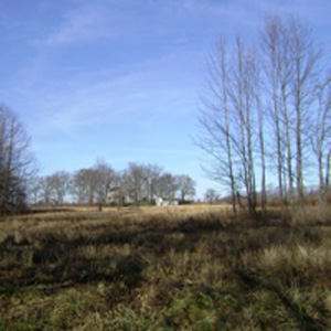
A five-mile network of relatively short loop trails, constructed originally as carriage roads, wind through fields, woods and gardens around the mansion. They are named and identified with wooden signs along the pathways. Some of the trails are steep; many offer Hudson River views.
Use the Web Map link on this site to view the estate grounds and trails.
The Estate is located on the west side of US 9 just south of Poughkeepsie. Address for Google Maps: Locust Grove Estate, 2683 South Road, Poughkeepsie, NY 12601
GPS coordinates: 41.670765, -73.928251(Locust Grove Estate, 2683 South Road, Poughkeepsie, NY 12601)