Below are suggestions for improving the Directions and Descriptions for this great hike. I have not had the chance to enjoy this area since childhood - when I do I will update the number of yards below where I left ??? for now.
An excellent PDF of the trails around Bear Mountain Stagte Park, including to Doodletown, can be found here:
http://nysparks.com/parks/attachments/BearMountainTrailMap.pdf.
I would replace the driections posted abve with this paragraph:
Driving Directions: The simplest access is from a small trailhead just south of the Bear Mt Bridge. It is 1.3 miles south of the Bear Mt Circle on Rte. 9W/202, immediately south of South Entrance Road, and just north of Iona Island Rd. There is a small parking area on the east (river) side of the road, next to a concrete bridge over a small brook called either Timp Brook or Doodle Brook.
I would replace the first two paragrpahs of the trail description above with these three:
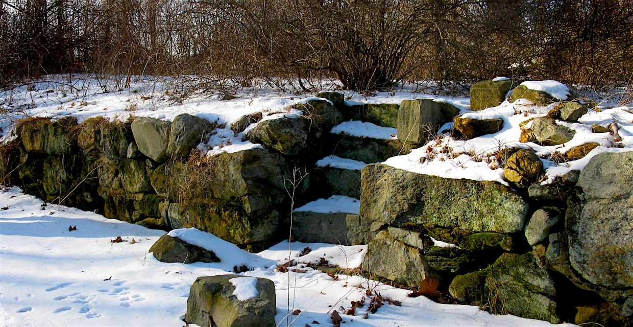
Description: On the west side of the road, Cornell Mine Trail crosses the brook. Follow the trail north (right). Turn left at a sign for "Doodletown" and proceed uphill on an old road with crumbling pavement. This road, known as Doodletown Road has small historic markers that identify various former buildings and their occupants.
The road makes a sharp left turn and continues uphill. In about ??? yards, continue straight onto Ski Trail as Cornell Trail breaks to the right. Near the top of the hill, the 77E Trail comes in from the right and joins the road.
Continue ahead along the road, now following the 77E blazes. After skirting the Doodletown Reservoir (seen as the pond along the Timp Brook here:
https://www.google.com/maps/@41.2965617,-73.9932192,15z), you'll reach a T-intersection, where you should turn right onto 77W.