Catskill Trails 2016,11th Edition Map Is Here!
Title

Body
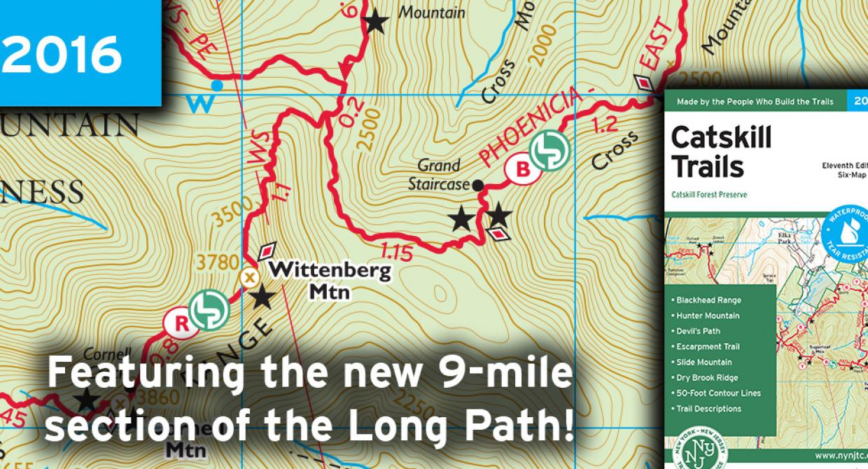
Printed in vibrant color on waterproof and tear-resistant Tyvek, this revised, digitally-produced Catskills Trails six-map set features trails in and around the Catskill Park and is a must-have for anyone who wishes to explore the many trails and protected lands in the Catskill region. This update for 2016 includes a number of trail additions and other adjustments to the maps, including the new nine-mile-long section of the Long Path south of Phoenicia.
About the Map
Catskill Trails Map 2016, 11th Edition
List price: $9.95 ISBN 978-1-880775-97-4
New York-New Jersey Trail Conference (November, 2015)
Printed in vibrant color on waterproof and tear-resistant Tyvek, this revised, digitally-produced six-map set features trails in and around the Catskill Park and is a must-have for anyone who wishes to explore the many trails and protected lands in the Catskill region. This update for 2016 includes a number of trail additions and other adjustments to the maps, including the new nine-mile-long section of the Long Path south of Phoenicia.
At a Glance:
- All designated trails within Catskill Park
- All 35 peaks in the Catskills over 3,500 feet in elevation
- 50-foot elevation contours
- Convenient map sizes to carry and use on the trail
- Inset map of popular North Lake area
- Mileage directly on the trails
- Detailed trail index and guide on the map backs
- State land and New York City DEP watershed land boundaries
- Marked trails, including the Long Path and Finger Lakes Trail
- Unmaintained trails and woods roads
- Shelters/lean-tos and fire towers
- Springs, waterfalls, viewpoints, and other points of interest
- Parking areas
- Campgrounds and primitive campsites
- Park contact information and regulations
- UTM grid with latitude/longitude markings and magnetic-north navigation lines
Beyond the Map
- Map coverage
- Map index
- Suggested hikes
- About the Catskill Mountain Region
- Catskills Hiking and Trails Pgorgram
- Park contacts
- Camping and transportation
- Get these maps on your Apple and Android device!
- GPS resources
About the Map Makers
The production of the Catskill Trails map set, much like our other trail maps, was a great collaborative effort involving many volunteers, parks partners, and Trail Conference staff. Created over the course of a couple years and with an enormous number of volunteer hours, this map set is one of the biggest single map projects the Trail Conference has undertaken. Read more about the primary contributors to this map set.
Production Supporter
Catskill Trails was produced with generous support from Campmor, an outdoor store and retail partner of the Trail Conference
About the Trail Conference
The New York-New Jersey Trail Conference is a volunteer organization dedicated to creating, protecting and promoting the nation's finest network of foot trails in a major metropolitan area. The Trail Conference is a coalition of 100 clubs and 10,000 individual members that maintains over 2,000 miles of trails in New York and New Jersey. Its website, www.nynjtc.org, and its hiking books and trail maps provide detailed information that enable hikers to enjoy some of the most remarkable trails in the country.
Built on more than 75 years of mapping experience, New York-New Jersey Trail Conference maps are your source for reliable trail information in the New York-New Jersey metropolitan region. These maps are Made By the People Who Build the Trails and are regularly updated with changes to the trails.
