Feature: Southern Shawangunk Ridge
Distance: 2.70 miles
USGS Map Quads: Otisville
Trail Conference Maps:Online SRT Map #1 in PDF format, updated Huckleberry Ridge State Forest map
General Description
This section is a mixed bag of ridgetop hiking, an active rail line, and woods roads. This section begins at a cul-de-sac near Lake Hawthorne, from where the SRT heads north along the ridge through Huckleberry Ridge State Forest. There is one good view across Shin Hollow in this section. The trail then descends and parallels an active railroad, which it follows north for about 2/3 of a mile. The trail passes an abandoned bridge over the RR. The SRT follows an abandoned section of Shin Hollow Road, which is a nice woods walking section. Here the SRT joins the Long Path which reaches Shin Hollow Road from the east. The two trails will be co-aligned for the next 34 miles.
Access
Take the New York State Thruway to Exit 16 (Harriman). Take NY Route 17 (future Interstate 86) west to Interstate 84 in Middletown. Take Interstate 84 west to Exit 2, Mountain Road. Turn left on Mountain Road and continue a short distance to US Route 6. Turn right on Route 6 west, cross under Interstate 84, then turn right on Hathorn Boulevard, and continue straight ahead to the end of Lakeside Drive.
Parking
0.00 End of Lakeside Drive. (41.37889°, -74.62034°)
2.35 End of paved Shin Hollow Road. (41.40448°, -74.61631°)
Camping
From Hawthorne Lake the trail passes through Huckleberry Ridge State Forest, where camping is allowed. Camping s allowed between mile 0.0 and 1.7, 150 feet away from roads, water and the trail.
Trail Description
0.00 The SRT starts at a cul-de-sac at the end of Lakeside Drive. There is room to park several cars here. The trail heads into the woods on an old woods road, turns left onto another woods road in about 150 ft, and immediately crosses a small stream The SRT is blazed with blue DEC disks.
A white trail continues straight ahead and will rejoin the SRT in about 1.5 mi.
0.20 The trail turns right onto another woods road. Straight ahead is a red-blazed trail (Lenape Ridge Trail) that will bring you into Port Jervis in approximately 6 miles. The SRT climbs steeply for a short distance, then levels out and follows the old road for a while before it turns left and heads into the woods.
0.60 The trail reaches nice open rock ledges, turns right, and continues north along the ridge, then slowly starts descending.
1.15 The trail crosses a stream and turns left on an old woods road that heads down the ridge. To the right is the white trail that goes around Huckleberry Ridge State Forest back to the cul-de-sac where this section started. In about 150 ft there is a short side trail, marked with a cairn, that leads to a nice fall (the fall only exists in wet weather).
1.40 To the left of the trail is open slab where there are nearly 180-degree views across the valley. Occasional pitch pines just barely cling to the slab. From this vantage you can see south to Port Jervis and the Delaware River with Pennsylvania beyond, west across Shin Hollow directly below and northwest across the Neversink Valley toward the Sullivan County Catskills. Just past the view the trail turns left and leaves the tote road, which is overgrown with blueberries at this point, and continues to descend through a switchback. It then heads north, gradually descending off the ridge.
1.70 The SRT turns right and parallels the Metro-North Railroad Port Jervis line. This line still sees daily passenger service to Hoboken. Soon after it crosses a seasonal stream and leaves the state forest.
Railroad tracks at Shin Hollow. 2022 [ANDY GARRISON]
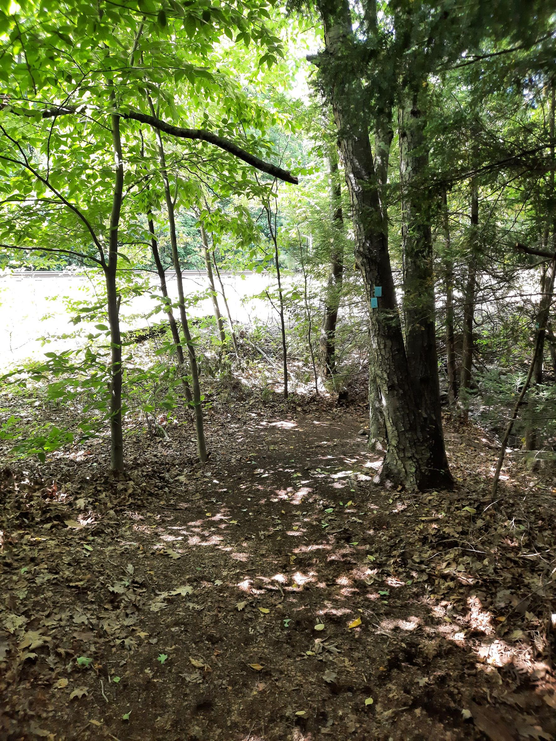
2.35 The trail passes an abandoned bridge where Shin Hollow Road use to cross the rail line. The bridge across the tracks is a recycled turntable. Shin Hollow Road is paved west of the tracks and leads back to Port Jervis. The SRT continues north, following Shin Hollow Road, a woods road that is passable to jeeps heading to hunting camps along the ridge. The trail passes a hunting camp on the right.
2.70 After about a third of a mile the SRT joins the Long Path which reaches Shin Hollow Road from the east. The two trails are co-aligned for the next 34 miles.