Highlands Trail Guide: Segment #2
Goose Pond Mtn. State Park (NY) to Passaic County 511 (NJ)
View from Sterling Fire Tower – Photo Glenn Oleksak
Free Highlands Trail Maps from The Trail Conference
Detailed Segment Description
Leaving Goose Pond Mountain State Park, turn left onto Bull Mill Road for a short distance, then left onto Laroe Road and follow it for .4 miles to Trout Brook Road. Turn right on Trout Brook Road and follow it for .7 miles to a sharp left bend where it becomes Camp Monroe Road. Follow this for .3 miles to Lakes Road (CR 5). Turn right onto Lakes Road, and follow it for 1.7 miles to where the Appalachian Trail (white) crosses the road 32 miles from Cornwall. Parking is available at this spot.
There are no Highlands Trail blazes along the Appalachian Trail, from Lakes Road to Mombasa High Point.
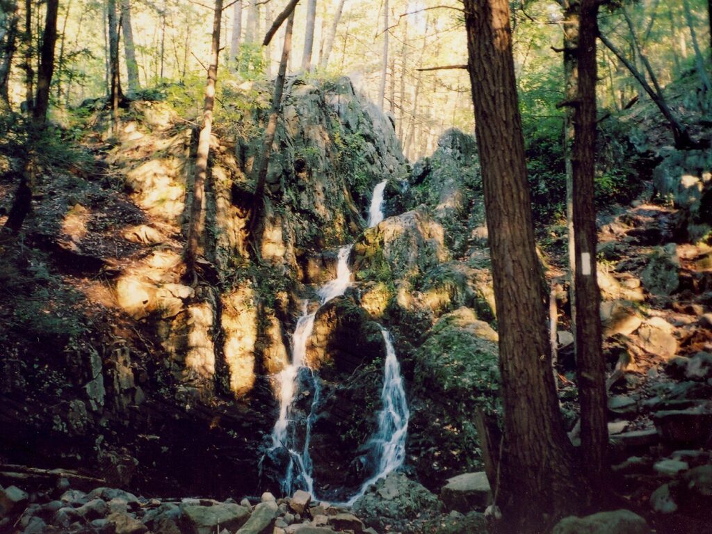
Turn left to follow the northbound Appalachian Trail (white) for 1.5 miles, past Fitzgerald Falls, and steeply up to the junction with the Allis Trail at 5.6 miles, just before Mombasa High Point. The Allis trail is blazed with blue rectangles and is only sporadically co-blazed with HT teal diamonds. Turn right onto the co-aligned Allis and Highlands Trails, following them to NY 17A at 9.7 miles. Along the way, the Doris Duke Trail (white blaze with yellow “DD”) joins for about a mile before turning off. Parking is available in a lot across 17A.
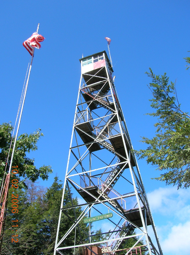
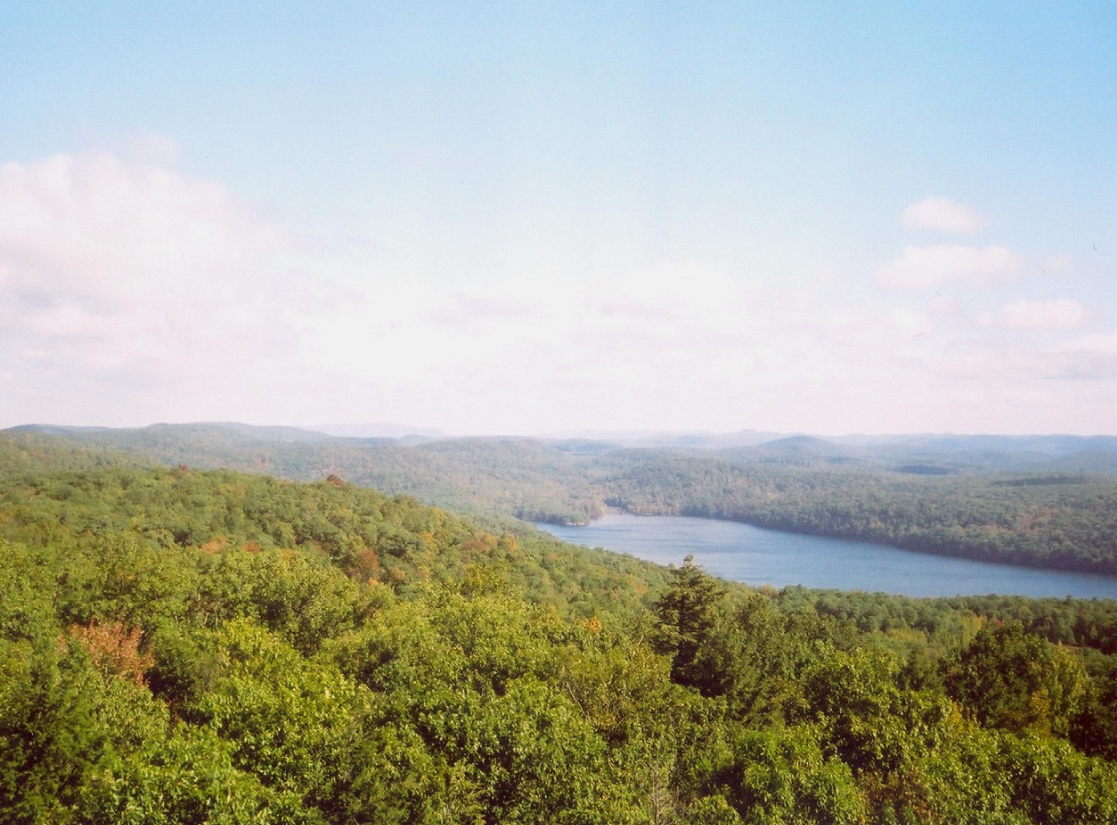
Cross 17A, pass the parking area, and continue on the co-aligned Sterling Ridge (blue on white) and Highlands Trails for 8.6 miles, passing the Sterling Fire Tower, crossing into New Jersey, and coming to the junction of East Shore Road and County 511 (Greenwood Lake Turnpike) at 18.3 miles, where there is parking.


Join

Become a member and protect wild places
Shop

Maps, gear & books, all proceeds support trails
Volunteer

Give back by helping maintain the trails
Donate

Keep trails open and safe with a one-time gift