Professional Services: Expert Trail Design for Your Landscape
The Trail Conference works with municipalities, land trusts, and land managers to plan, design, and improve sustainable trail systems across the region. Our specialty is low-impact natural surface trails designed for hikers and mountain bikers, often across challenging terrain that front-country planners and construction contractors are ill-equipped to handle.
Our staff includes experienced trail planners, builders, and cartographers who help partners move trail projects from concept to implementation.
What We Offer
New Trail Planning & Design
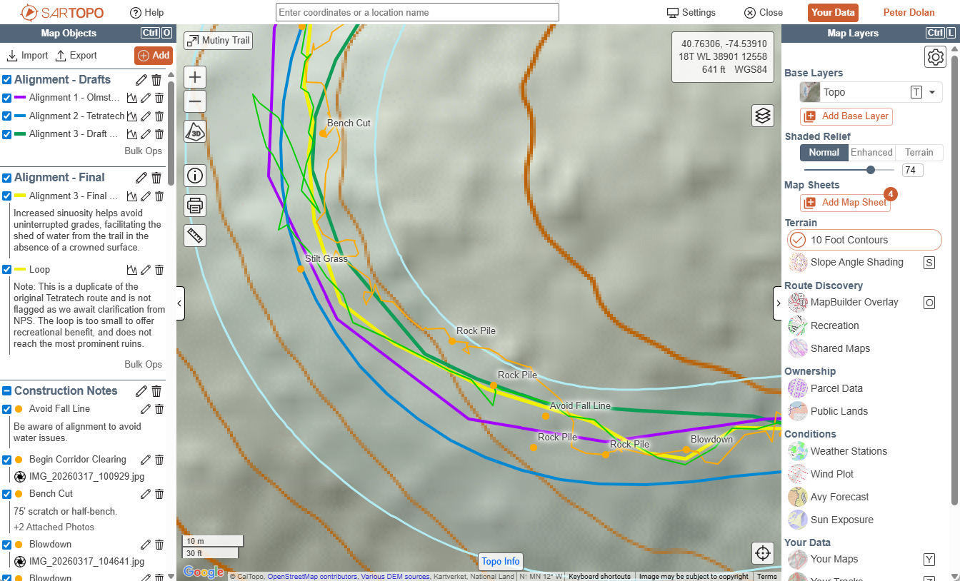
Our team plans sustainable trail routes and networks that balance user experience, environmental impact, and long-term maintenance considerations.
We Provide:
- Trail alignments informed by terrain, anticipated use, and sustainable best practices
- Site assessments evaluating environmental constraints and opportunities
- Concept plans and phased implementation options
- GIS data collection and on-the-ground flaglines
- Construction-ready work logs to guide RFPQ processes and project budgeting
New Trail Planning & Design
Overview
The most important part of any trail planning process is layout and design. This is where the biggest challenges of trail management – erosion, social trail creation, expensive structural needs, and more – are identified and pre-empted.
While choosing a trail route seems simple in theory, it can be extremely challenging in practice. It requires extensive time in the field, knowledge of sustainable design principles, familiarity with trail construction standards and practices, an understanding of different user group behaviors, and a detective’s eye for botany, hydrology, geology, and other elements of the natural world.
When flagging a trail alignment, the success or failure of the project often comes down to subtle grade reversals or the difference of a few degrees in slope. With this in mind, any serious trail proposal should enlist the help of experts to lead or advise upon the critical layout and design process.
Example Deliverables
- Interactive GIS maps collecting trail scouting data and final recommended alignments for partner review, permit approval, and future construction.
- Field flaglines identifying either viable corridors or construction-ready alignments to guide future work.
- Detailed work logs with construction notes and measurements to inform future budgeting and implementation.
Think you have a new project which could benefit from expert planning and design? Email [email protected] to start the conversation.
Existing Trail Assessment
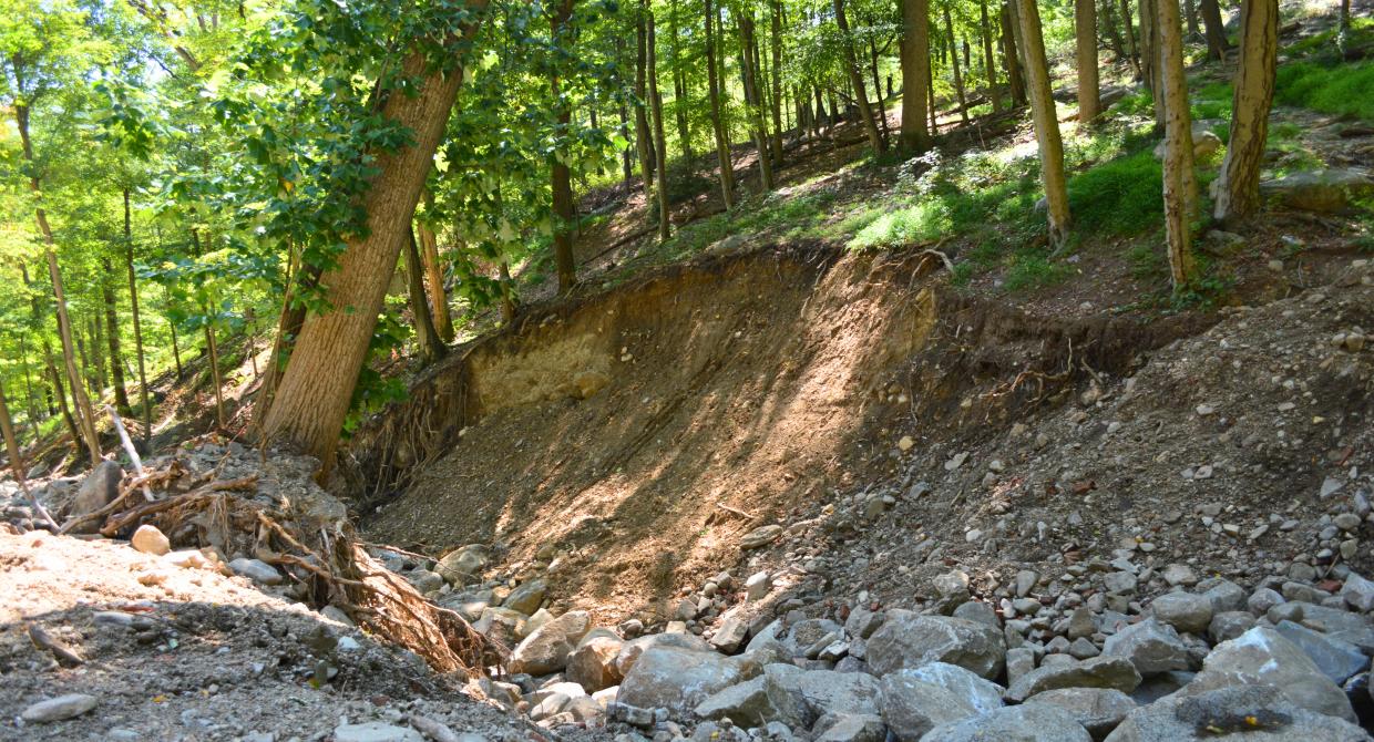
Our team evaluates trail conditions, identifies issues, and prioritizes future improvements to support safe, sustainable use.
We Provide:
- Trail condition assessments and field evaluations
- Identification of drainage, erosion, and safety issues
- Prioritized recommendations for maintenance and repair
- Documentation to support future project planning and funding decisions
- Interactive GIS maps and/or narrative reports designed as tools for long-term curation by land managers or volunteers
Existing Trail Assessment
Overview
Few land managers have the luxury of planning brand-new trails along untouched ground. Most have inherited a combination of woods roads, unmarked pathways, blazed trails, and “social trail” deviations from those routes.
A thorough trail assessment is the best way to create an accurate map of what truly exists on a property, capturing a snapshot of present conditions while creating a roadmap for improvement.
In addition to noting necessary repairs to physical infrastructure, the assessment process can also identify ways to improve the design of an entire trail network. Initiatives like reconfiguring a confusing trail network into intuitive loops, identifying access points in need of trailhead information, formally marking and mapping popular social trails, and guiding visitors via intersection signage can all make trail networks safer and more enjoyable.
Beyond immediate planning, well-documented assessments also serve as living tools which park managers and local volunteers can use to track needs and priorities into the future.
Example Deliverables
- Interactive GIS maps collecting trail routes, social trails, unmarked paths, trail condition notes, and other information into one single resource.
- PDF documents describing trails, conditions, and recommended actions along each segment within an established network.
- Trail network maps which reconfigure confusing or suboptimal networks into simple, intuitive, safe, and satisfying experiences.
Think you have a trail network which could benefit from a detailed assessment? Email [email protected] to start the conversation.
Trail Mapping & Signage
Our team locates, designs, fabricates, and installs quality maps and signage to improve visitor experience, navigation, and safety.
We Provide:
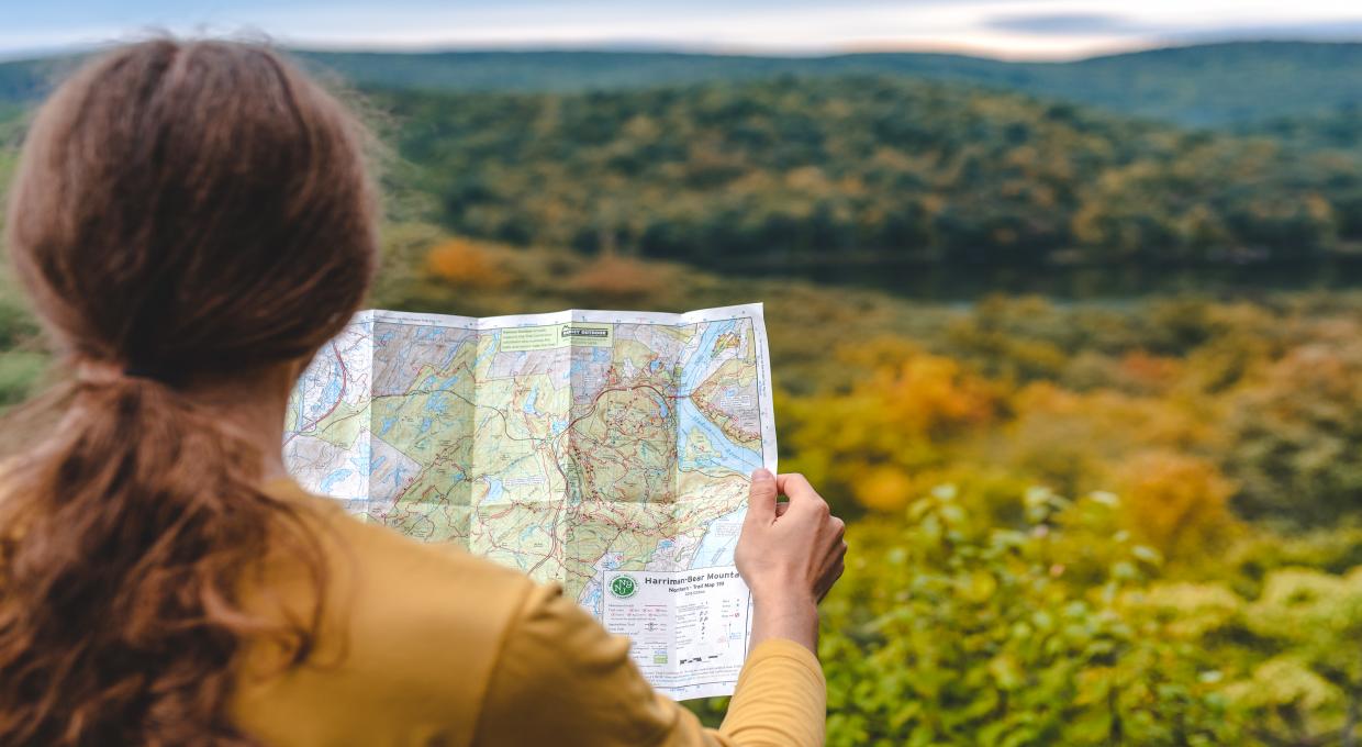
- Trail maps for print and digital use
- Map updates and revisions for existing trails
- Trailhead kiosk panel design with essential visitor information
- On-trail wayfinding, intersection, and navigation signage to prevent lost trail users
- Physical sign fabrication and installation
Trail Mapping & Signage
Overview
For many visitors, a trail map is the first resource sought before visiting a property. The presence or absence of a map, and its quality, shape their first impressions. Once out in the field, the quality of a map can be the difference between a fantastic experience or a frustrating and confusing one.
The Trail Conference has been the preeminent trail map maker in our region for decades. We are able to update existing maps using our standards and best practices, or collect the field data needed to build new maps entirely from scratch.
Trailhead kiosks are an ideal place to share these maps and other essential trail information with the public. Whether it is how to read blazes or where to stop for lunch after a hike, we can help design trailhead content geared toward your audience.
Beyond trailhead maps and kiosks, directional signage within a trail network helps people navigate with confidence. Informed by crowdsourced heat map data as well as field surveys, the Trail Conference can design and install signs where they will have the greatest navigational benefits for users.
Example Deliverables
- Professional trail maps suitable for websites, kiosks, brochures, or smartphone apps.
- Kiosk panel graphic design with essential information about trail navigation, preparation, safety, and local amenities.
- Trail sign fabrication and installation to assist visitors with safe and confident navigation through your trail network.
Think your trail would benefit from improved maps and signage? Email [email protected] to start the conversation.
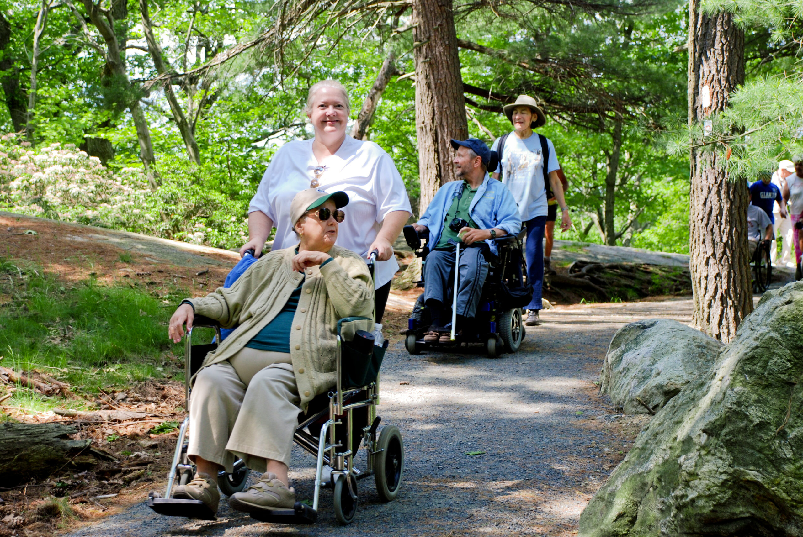
Trail Accessibility Improvements
Our team identifies obstacles or barriers to access, and recommends practical improvements to make a wider audience feel welcome and safe on your trail.
We Provide:
- Accessibility assessments of existing trails as GIS maps or reports
- Layout and design of new accessible trails
- Identification of existing or anticipated accessibility challenges
- Practical recommendations for improving access through both structural trail improvements and adaptive equipment
- Guidance aligned with federal accessibility standards
Trail Accessibility Improvements
Overview
Ensuring that all people have access to trails is core to the Trail Conference’s mission, and we are excited to see more trail projects centering accessibility in the planning process.
We believe that every trail, no matter how rugged, can benefit from accessibility improvements. By replacing steep scrambles with solid steps, boggy tread with durable boardwalk, or slippery stone stream crossings with level bridges, even the most rustic trail experience can be made safer and more welcoming to a wide range of ages and abilities.
Our team is trained in federal standards for accessible trail design and can help identify ways to apply them to any project – whether the goal is full “trails for all” compliance, or simply removing barriers along a primitive footpath so that it can serve the widest audience possible.
Example Deliverables
- Walkthroughs and assessments of existing trail conditions to identify accessibility deficiencies and recommendations to address them.
- Written reports and/or interactive GIS maps capturing narrative information, coordinates, and photographs for future reference.
- Project construction plans and budgets to inform future capital planning, fundraising, grant writing, or RFPQ processes needed to turn recommendations into physical improvements.
Think you have a project which could benefit from accessibility consideration? Email [email protected] to start the conversation.
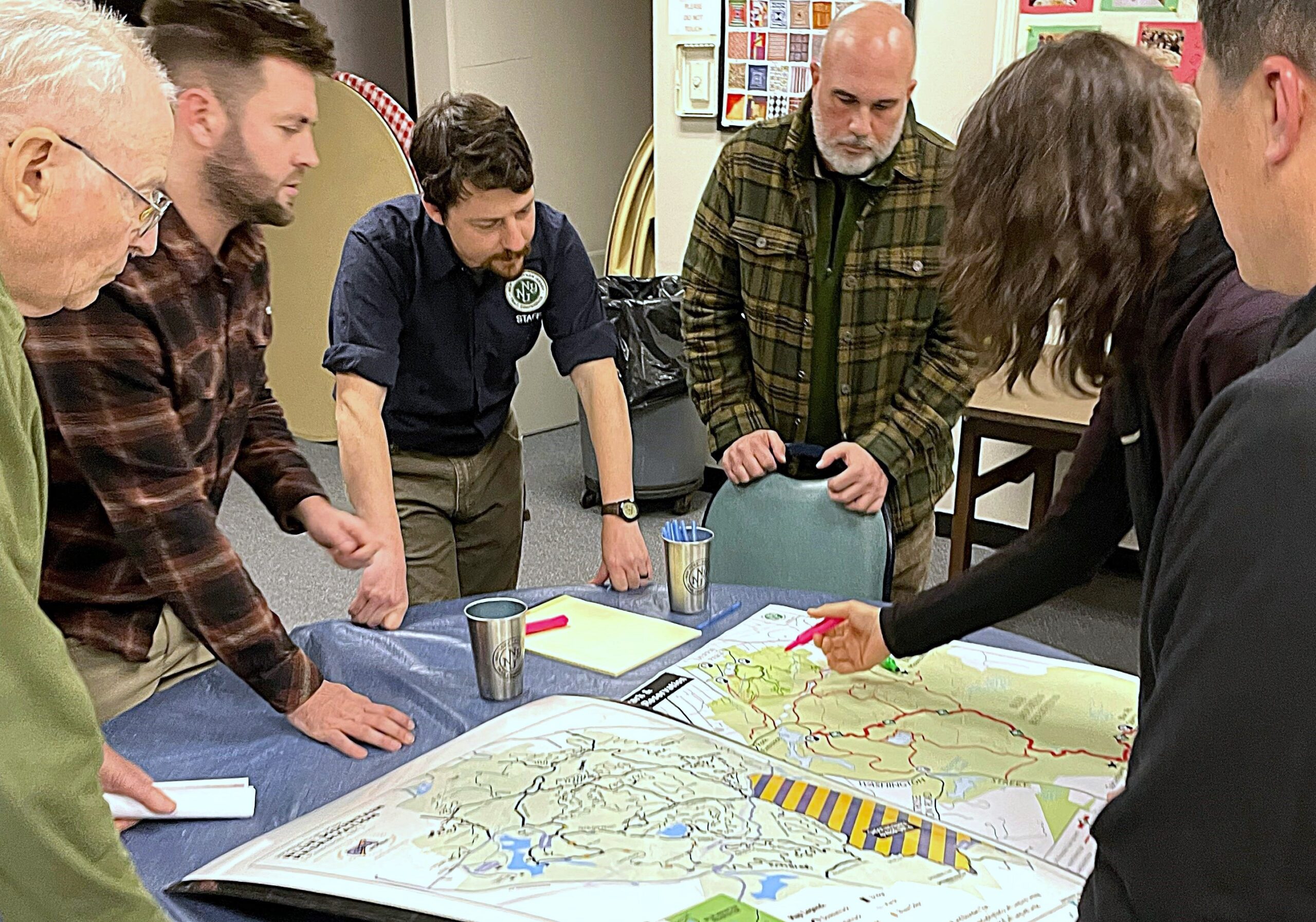
Community Engagement
Our team facilitates public input and local stakeholder engagement to meet community needs and secure local buy-in via thoughtful, inclusive trail planning.
We Provide:
- Public meetings and stakeholder workshops
- Surveys and visitor data collection
- Facilitation of collaborative planning discussions
- Documentation of feedback and actionable outcomes
- Outreach and education programs to introduce trail amenities to communities
Community Engagement
Overview
One of the most important elements of trail planning is understanding user desires and expectations. A tranquil walk will not satisfy a municipality pursuing adventure tourism, just as a rugged scramble may not be right for a family-friendly experience.
To ensure that projects meet local needs and benefit from local expertise, organized stakeholder engagement can be enormously helpful. Public surveys, outreach hikes, facilitated discussions between local partners, and hands-on charrette activities with knowledgeable residents can all steer trail planning in the right direction.
In addition to benefiting from local input, community engagement is a great way to promote new projects, recruit potential volunteers, cultivate new partnerships, and build a sense of local goodwill and ownership through involvement in the planning process.
Example Deliverables
- Public online surveys collecting key information about community behavior, desires, and recommendations.
- In-person charrette sessions bringing together experts with a variety of hands-on activities to quickly compile information.
- Facilitated discussions with key partners such as park managers, local nonprofit organizations, event coordinators, search and rescue teams, law enforcement, or other groups which may have useful insight or collaborative ideas.
Think you have a project which could benefit from engaging the community? Email [email protected] to start the conversation.
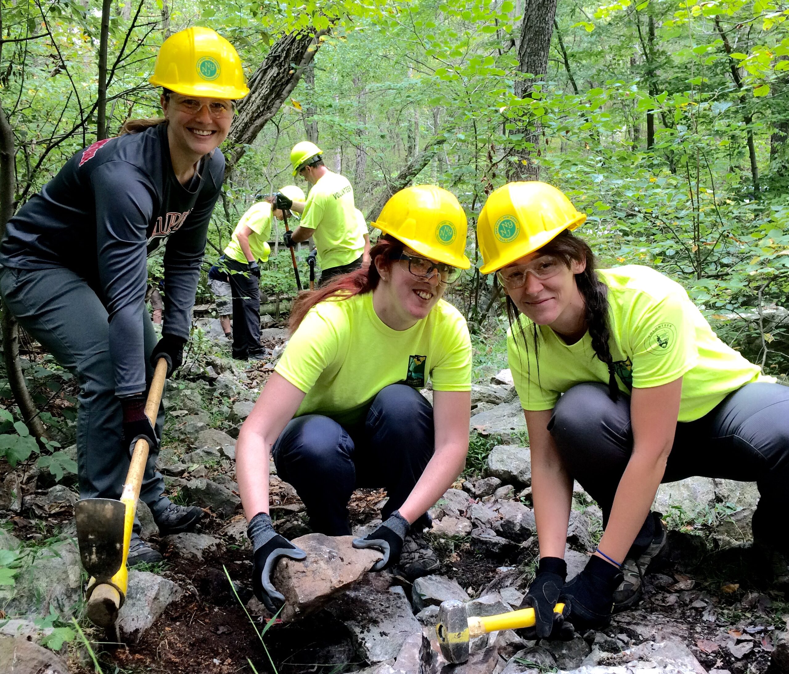
Training & Workshops
Our team povides hands-on training and educational workshops for land managers, staff, volunteers, and the general public on a variety of trail topics.
We Provide:
- On-site and classroom-based training sessions
- Content tailored to suit agency staff, volunteer groups, or the general public
- Trail building and maintenance taught to professional standards
- Ability to complete physical trail improvements and other tangible accomplishments during workshops
Training & Workshops
Overview
Many trail initiatives can benefit from incorporating trainings or workshops. These events connect people with trails in a way that equips them to become responsible recreationists and stewards.
Whether it is training conservancy staff on maintenance best practices, elevating a volunteer group to professional trail standards, empowering agency partners with sustainable best practices, or simply running a “Hiking 101” event to introduce locals to a new trail, these events connect people with projects in a meaningful way.
In addition, hands-on workshops which complete physical work can be an effective way to meet hour or dollar match requirements for grants.
Regardless of the reason for including a training or workshop in your project, we can find an appropriate curriculum within our Trail University program or design one specifically for your needs.
Example Deliverables
- Specialized technical trainings to teach subjects like stone wall building to partner staff or volunteer crews.
- General trail maintenance workshops to empower volunteer groups to care for trails in their area.
- Public awareness hikes to inform trail users about safety and best practices while also introducing them to new recreational opportunities in their community.
Think you have a project which could benefit from trainings or workshops? Email [email protected] to start the conversation.
Led by Experts in the Field
The Trail Conference Professional Services team brings decades of hands-on experience in trail planning, building, and land stewardship across the region.
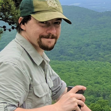
Peter Dolan
Senior Trail Planner
Peter Dolan
Senior Trail Planner
Peter Dolan joined the New York-New Jersey Trail Conference in 2013 and holds the title Senior Trail Planner. He leads the creation of planning resources for partners including municipalities, State agencies, land trusts, and other entities which manage open space. This work includes the creation of trail plans, inventories/assessments, layout and design proposals, interactive GIS maps, regulatory reform recommendations, and related documentation for projects in anticipation of formal permitting or RFPQ processes.
Peter’s planning work is informed by a range of outdoor experience including a degree in field science from Bucknell University, wilderness guide work with an emphasis on inclusion and accessibility, multiple seasons of hands-on trail construction, ongoing service as a Search and Rescue team member, and more. All of these disciplines come together in planning work which is data-driven, while also deeply aware of the impact that trails have on both the environment and the human experience.
Peter’s other roles include Chairman of NJDEP’s State Trails Program Council, member of the Access Nature Forum’s Regulatory Reform and Site Assessment Working Groups, and speaker at events such as the International Trails Summit, NJ Land Conservation Rally, and NJ Trails Summit. In his previous Trail Program Manager role, Peter led the Trail Conference team on projects across over 200 land management units and 2,150 trail miles including long-distance trails such as the Appalachian Trail, Long Path, and Highlands Trail. This experience still informs his planning work, and his close collaborative ties with local volunteer committees remain an important part of projects.
Ben Sugar
Senior Trail Builder
Ben Sugar
Senior Trail Builder
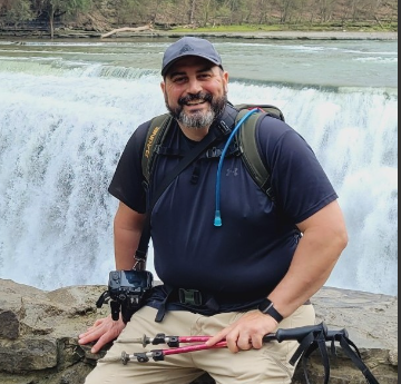
Ben joined the Trail Conference in February 2018 with over 15 years of experience in trail building, designing, and management. He discovered his love for the outdoors while building trails with AmeriCorps in New Hampshire in 2003. Ben holds a B.A. in History from James Madison University and has graduate studies in Recreation Resource Management from Utah State University.
Brent Boscarino
Director of Land Stewardship
Brent Boscarino
Director of Land Stewardship
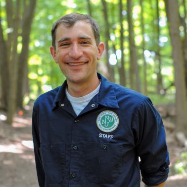
Brent Boscarino joined the Trail Conference in 2019 as the Invasive Species Citizen Science Program Coordinator in association with the Lower Hudson Partnership for Regional Invasive Species Management (LH PRISM), a regional alliance of environmental organizations and stakeholders that is coordinated by the Trail Conference. Brent now serves as the Director of Land Stewardship at the Trail Conference and the Coordinator of the LH PRISM. Brent spent the previous 10 years as a high school science teacher, research scientist and environmental outreach coordinator at the Poughkeepsie Day School and the Harvey School. In his role as Senior Research Associate at Poughkeepsie Day, Brent ran multiple invasive species-based research projects in collaboration with Hobart and William Smith, Ithaca, and Bard Colleges. He holds an undergraduate degree from Middlebury College and a Ph.D. in Natural Resources from Cornell University. Brent is an enthusiastic nature lover who aims to inspire a sense of wonder about the natural world.
Jeremy Apgar
Cartographer
Jeremy Apgar
Cartographer
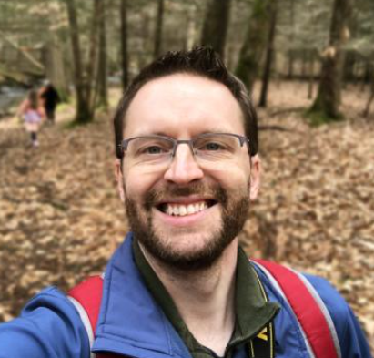
Jeremy joined the Trail Conference in 2007. He produces a variety of maps, including published trail maps of the NY-NJ area as well as maps to aid with trail-building efforts, open-space acquisition, and various advocacy and stewardship initiatives. Prior to joining the Trail Conference, Jeremy received his Master’s degree in Earth and Environmental Sciences from Lehigh University. While obtaining his Master’s degree, he published his research findings that utilized GIS, remote sensing imagery, and fieldwork in the Yukon Territory, Canada to learn about climate change in the Arctic. Jeremy fondly remembers his experiences exploring the trails of northwest New Jersey as a kid and currently resides in the woods of Andover, N.J., with his wife and two kids.
Who We Work With
The Trail Conference partners with public agencies and conservation organizations to plan, design, and improve sustainable trail systems.

Land Trusts
Organizations seeking to integrate trails into newly protected landscapes.

Municipalities
& Counties
Public agencies managing parks, open space, and recreational access.

Accessibility
Advocates
Partners working to expand access to outdoor experiences for all people.

Urban & Community Pathway Projects
Project planners developing front-country trails and greenways.
Why Work with Us
Decades of regional experience
Specialization in rustic natural-surface trails
Unique experience completing projects with volunteer engagement elements
Interested in learning more? Contact Senior Trail Planner Peter Dolan at [email protected] today!

We believe that every trail project is a unique combination of art and science, which needs to be physically experienced to be understood. To ensure that our work is fully informed by the specific needs of each site, and in line with our commitment to the environment, generative AI is not used in any part of our trail planning process.
Professional services provided by the New York–New Jersey Trail Conference