Highlands Trail Guide: Segment #8
Schooley’s Mountain Park to Voorhees State Park (NJ)
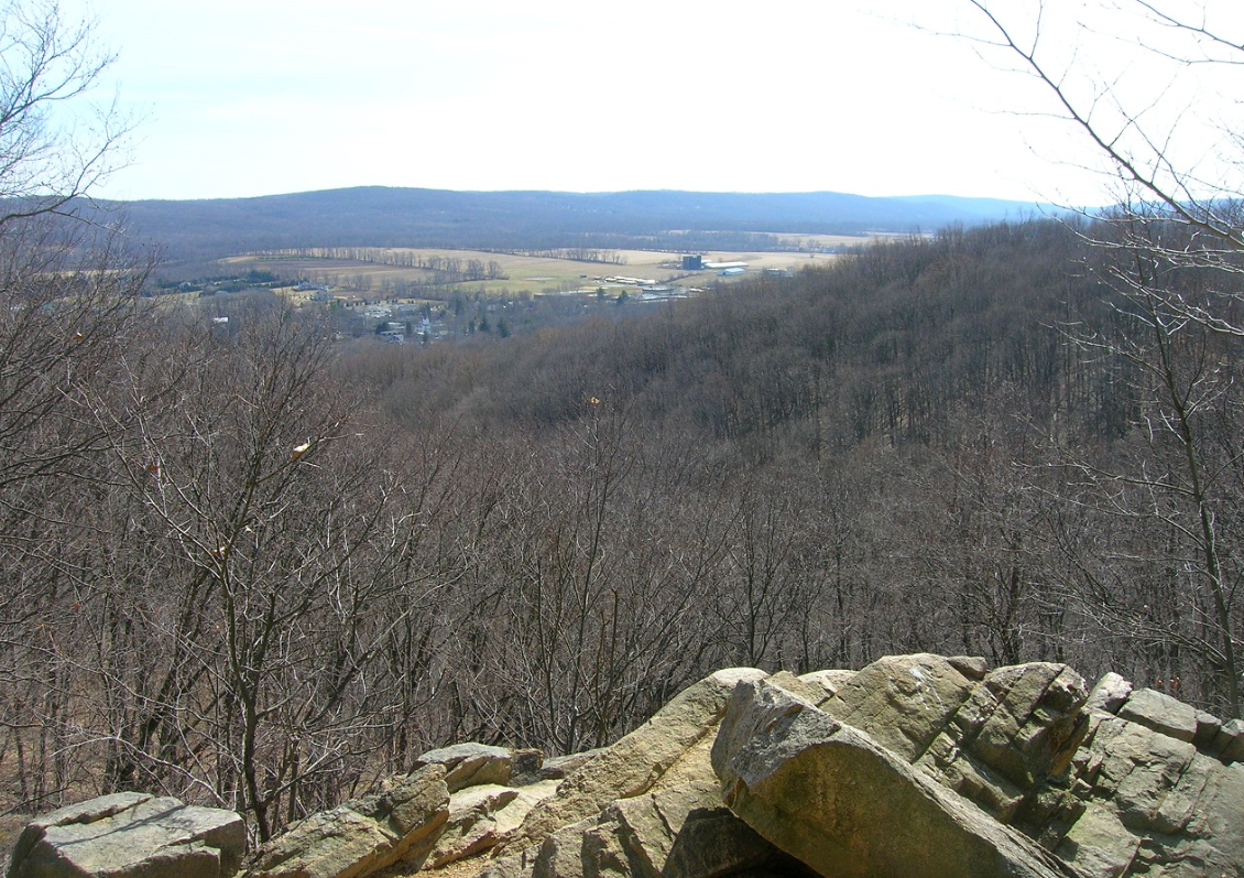
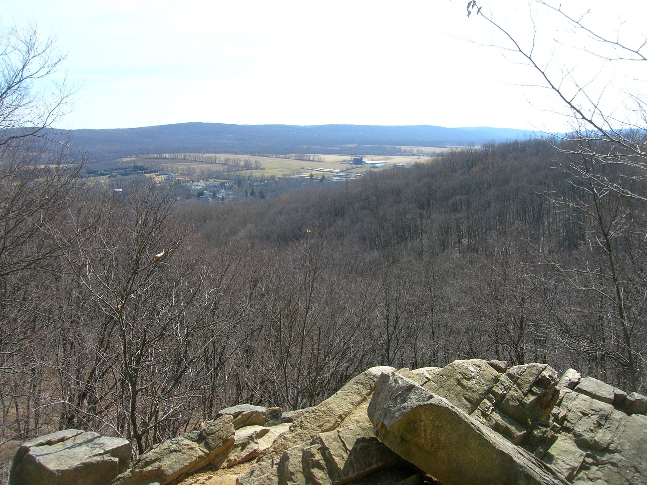
PP/HT viewpoint – Photo Glenn Oleksak
Free Highlands Trail Maps from The Trail Conference
Active Trail Segment Alerts
Alert: Blazes along the Columbia Rail Trail and Route 513 may be painted out due to recurrent vandalism, although this appears to have stopped. Evidence of previous vandalism is still visible. Please let us know if you notice any new stretches of trail with blazes that have been scraped or painted out.
Detailed Trail Description
From the parking lot at Schooley’s Mountain County Park, follow the co-aligned Patriots’ Path (white) and Highlands Trail mostly downhill and past a viewpoint at an old quarry. Huge cut stones are visible below the viewpoint. Continue downhill to Fairview Avenue, at 1.1 miles, where parking is available. Cross Fairview Avenue, pass through the parking area and a field, and turn right onto the Columbia Rail Trail (Morris County portion), formerly the High Bridge Branch of the Central Railroad of New Jersey. Cross Schooley’s Mountain Road (Old Route 24), where parking is available, at 1.8 miles. Continue to follow the Columbia Rail Trail south from Schooley’s Mountain Road in Long Valley. At 4.0 miles from Long Valley, cross Route 513, where parking is available.
Continue on the Columbia Rail Trail (Hunterdon County portion) to Califon at 8.1 miles, where parking is available. Stay on the rail trail, crossing the Raritan River on a former railroad trestle at 10.6 miles. At 10.8 miles, turn sharply right and ascend the west side of the gorge on three switchbacks, the middle one being quite long. The ascent becomes more gentle at 10.9 miles. Continue through saplings and past stone walls, turning right onto an overgrown woods road at 11.2 miles. Turn left off the woods road at 11.3 miles, shortly reaching a dirt driveway. Follow the driveway right to Route 513 at 11.6 miles. Turn left, reaching the Voorhees State Park entrance at 12.2 miles, where parking is available.


Join

Become a member and protect wild places
Shop

Maps, gear & books, all proceeds support trails
Volunteer

Give back by helping maintain the trails
Donate

Keep trails open and safe with a one-time gift