Highlands Trail Guide: Segment #9
Voorhees State Park to Spruce Run Recreation Area (NJ)
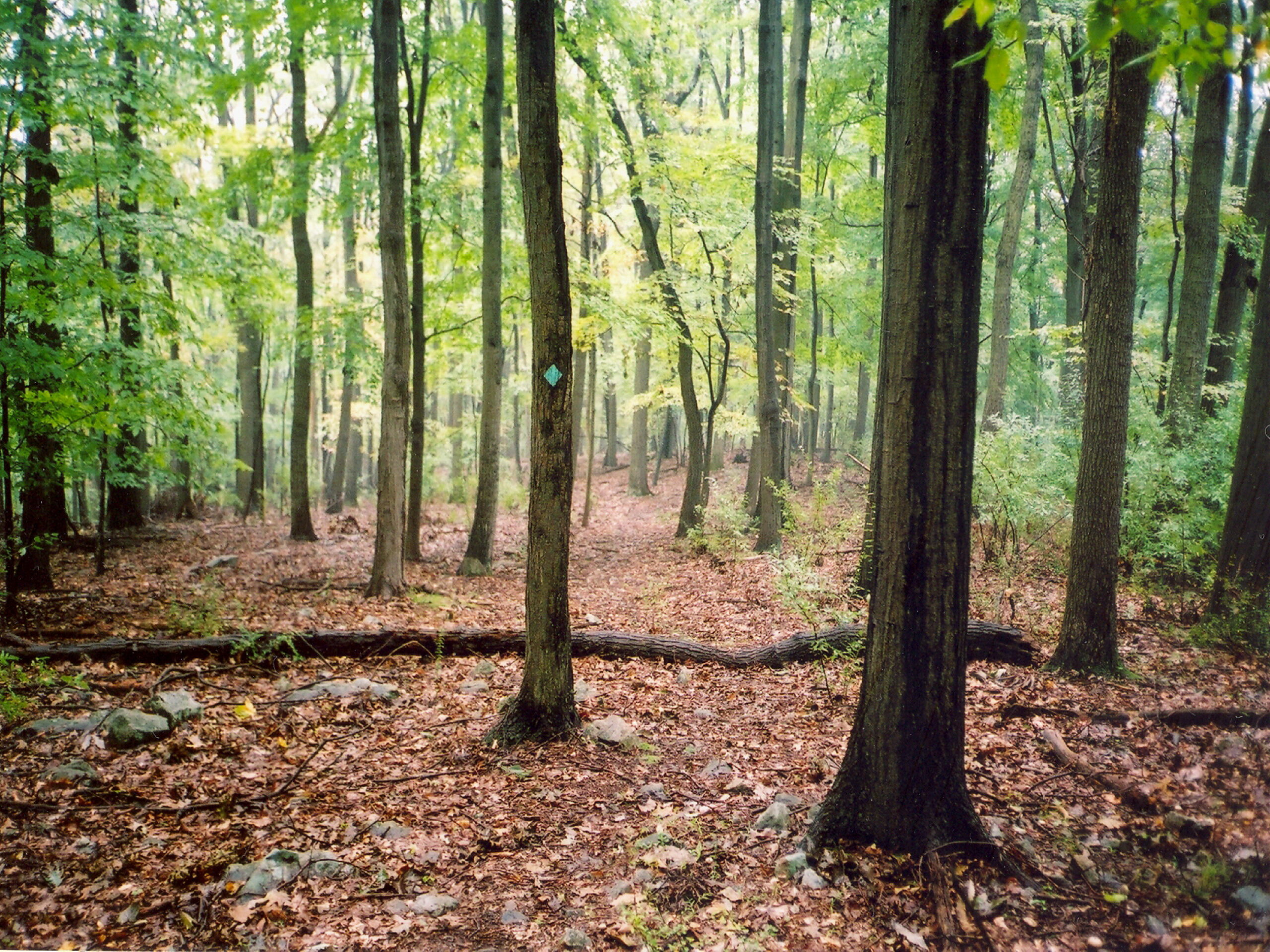
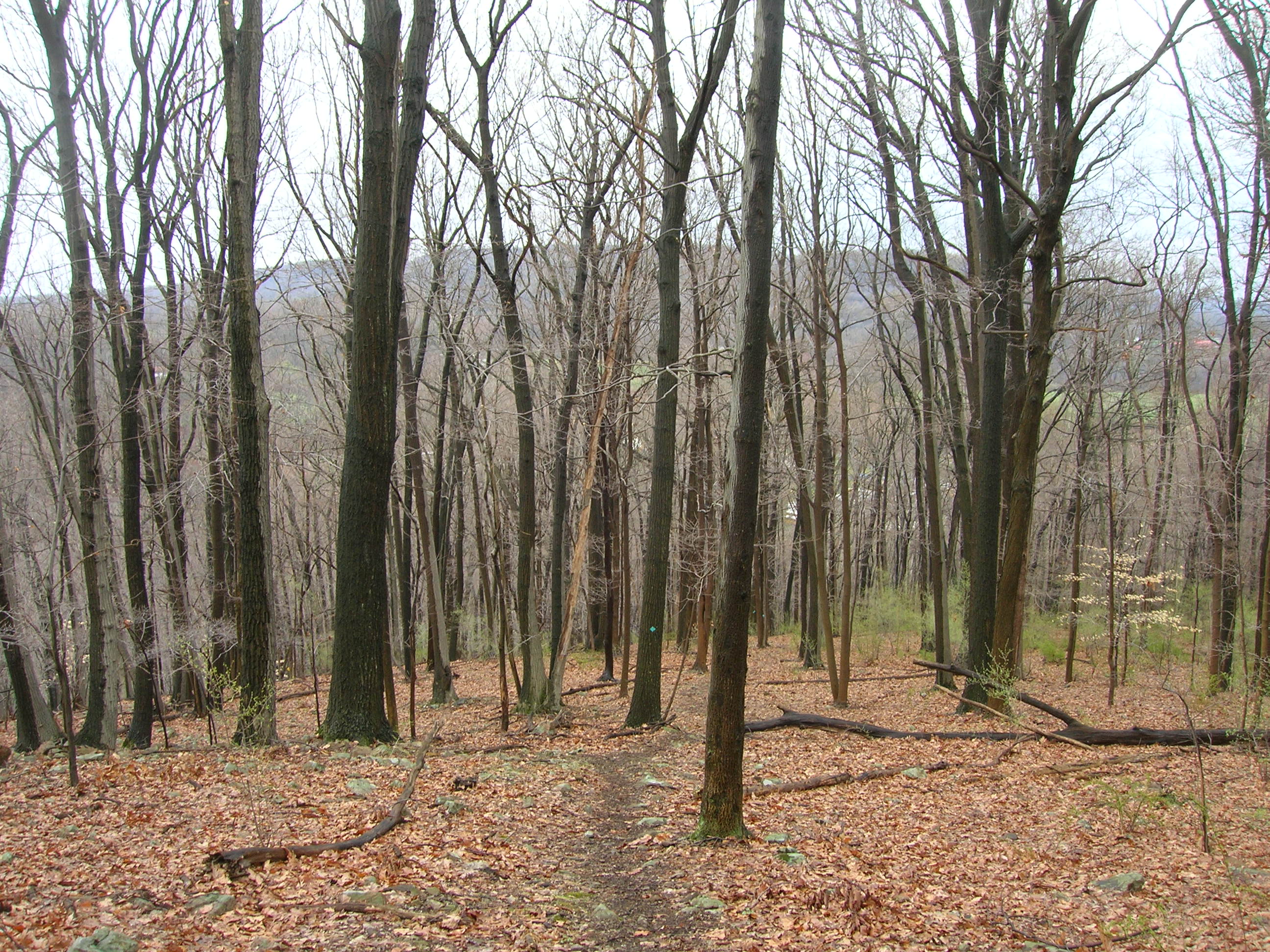
Union Furnace woods – Photo Glenn Oleksak
Free Highlands Trail Maps from The Trail Conference
Camping
Alert: Campground facilities are available at Spruce Run Recreation Area from April to October.
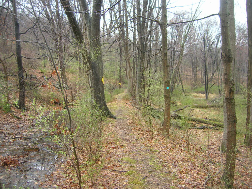
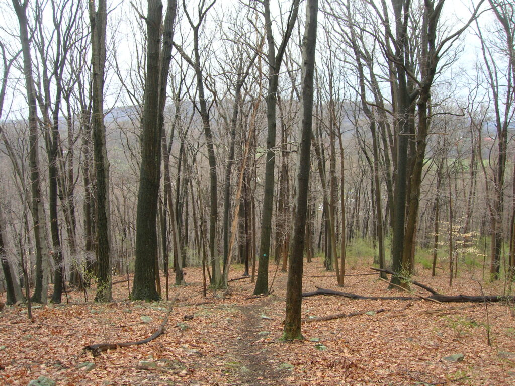
Detailed Trail Description
Turn right off of Route 513 behind a guard rail and just past a house. Enter Voorhees State Park in a grassy area, pass an old barn and a picnic area, and follow the blazes onto the co-aligned, green-blazed Tanglewood Trail. Come out to a playground at 0.5 miles. Parking, as well as bathroom facilities, are available here. Skirt the playground, cross the park road, and enter the co-aligned HT and white-blazed Cross Park Trail on a wooden bridge, reaching the Brookside Trail after about 250 feet. Jog right slightly, then continue on the HT/Cross Park, crossing stone walls and winding through black raspberry patches. At 1.5 miles, turn right and parallel a power line for about 250 feet, then turn left and cross the power lines before re-entering the woods. Continue downhill to Observatory Road, where there is parking, at 1.7 miles.
Turn left onto Observatory Road for about 100 feet, then make a right onto the co-aligned pink-blazed Vista and Highlands Trails. After another 0.2 mile, the Highlands Trail turns right, while the pink-blazed Vista Trail continues straight. Continue downhill to Poplar Lane at 2.0 miles, turn right, and reach Buffalo Hollow Road at 2.3 miles. Make a sharp left onto Buffalo Hollow Road and follow it out to NJ 31 at 2.8 miles. Turn left and proceed about 0.2 miles to the traffic light at the junction with Van Syckel’s Road. Turn right across Route 31, and follow Van Syckel’s Road about 0.1 mile to the entrance of Union Furnace Preserve, 3.1 miles from Route 513.
Turn right into Union Furnace, then left. Ascend the embankment of an old mill race and go right along the top of the embankment for about a tenth of a mile. Turn left and cross the bottom of the mill race. Proceed up the hill, then descend to emerge on a cul-de-sac called Serpentine Drive at 3.9 miles. Follow Serpentine Drive 0.3 miles down to Van Syckel’s Road. There are no utility poles and therefore no blazes on this road walk.
At Van Syckel’s Road, turn left, then bear right into a parking area. Proceed to the water and make a sharp right into Spruce Run Recreation Area. Pass through a maple forest, traverse a meadow, and come into a pine plantation. Turn right in the pine plantation and eventually come out to the boat launch road.
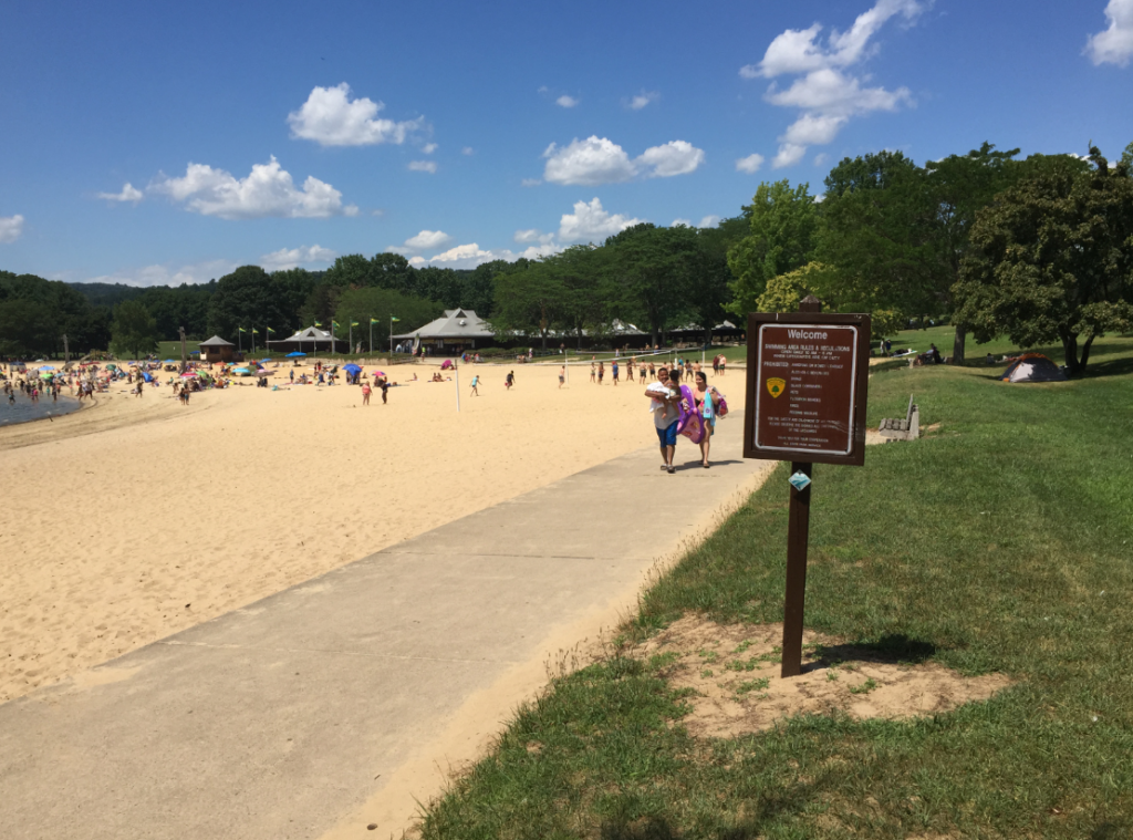
Turn right onto the boat launch road for a quarter mile, then turn left towards the group picnic area. From here, the HT follows a series of roads and paved paths as it tours the park facilities. Although the blazes are up along the road as a guide, there is ample opportunity for a pleasant walk away from and parallel to the road along the water’s edge on cut grass. The trail passes right through the public beach/food stand area and eventually comes out to the Spruce Run headquarters.


Join

Become a member and protect wild places
Shop

Maps, gear & books, all proceeds support trails
Volunteer

Give back by helping maintain the trails
Donate

Keep trails open and safe with a one-time gift