Navigating the Long Path
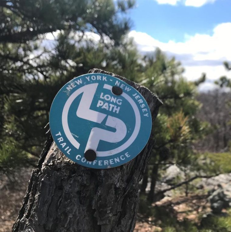
Long Path Blazes
The trail is marked with 2″ x 4″ paint blazes in “LP aqua,” a distinctive light blue-green color synonymous with the Long Path. Turns are indicated by two blazes, with the top blaze offset in the direction of the turn, ensuring you stay on the right path.
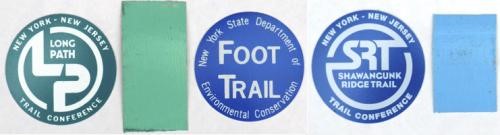
Trail Marking Exceptions
While most of the Long Path is marked with the characteristic aqua blazes, there are some exceptions. In Catskill Park and on the Wurtsboro Ridge DEC parcels, the Long Path follows existing Forest Preserve trails, which are marked with blue, red, or yellow plastic disks, depending on the trail. On certain sections of private land, the blazes revert to aqua paint. In the older parts of the park, some markers are made of painted metal. Pay close attention to trail descriptions, as blaze colors can change mid-section, ensuring you’re always on the correct route.
Trail Guides & Maps
Navigating the Long Path is easier with the right maps and guides, including:
Jimapco Maps: Specializing in road maps, Jimapco maps are great for navigating to trailheads and are available in stores from Orange County north or online. While less detailed for hiking, they are useful for planning access points.
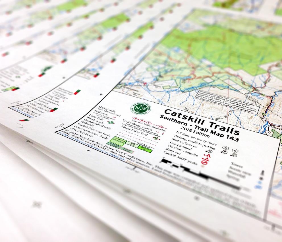
Trail Conference Maps: Produced by the New York-New Jersey Trail Conference, these durable, waterproof Tyvek maps cover many Long Path sections and highlight maintained trails and features, though only about half of the trail is included.
USGS Maps: These topographic maps cover the entire Long Path in detail but are printed on paper and may be outdated, with many dating back to the 1950s and 60s.
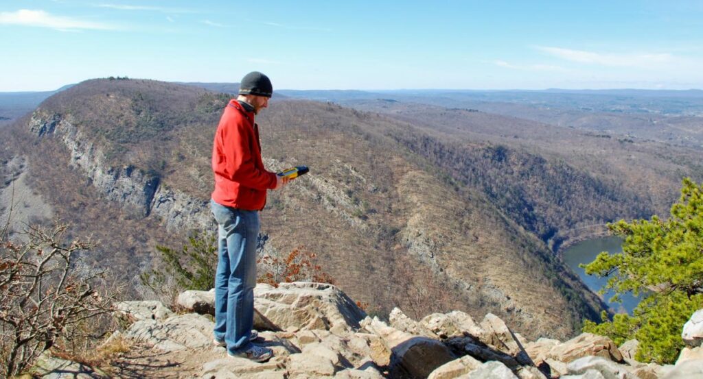
Using GPS for Navigation
GPS technology has become essential for hikers. Affordable and easy-to-use handheld GPS units make great companions on the Long Path. Our trail guide includes GPS coordinates for major landmarks and parking areas for easy navigation.
GPS Accuracy: While typically accurate within 10 to 50 feet, accuracy can be affected by satellite positioning and signal reception. Our guide uses the NAD83/WGS84 standard, compatible with most North American GPS units. Note that older USGS maps may show coordinates differently due to reference standard variations.
Caveats: Older USGS maps may have positional errors from outdated data, including aerial photos dating back to World War II, which can lead to discrepancies with modern GPS data.
Become an End-to-Ender
Completing the entire Long Path is a remarkable achievement, and the New York-New Jersey Trail Conference recognizes this with an official End-to-End certification. Whether you choose to hike the traditional Orange County route or the more scenic Shawangunk Ridge route, finishing the Long Path is a testament to your dedication and love for the outdoors. As of December 2025, over 250 hikers have earned the prestigious title of Long Path End-to-Ender.
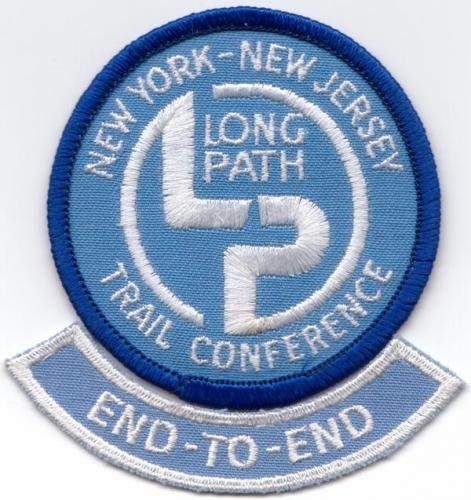
Certification Details: To receive your certificate and End-to-End “rocker,” simply complete the trail in one continuous journey or over multiple hikes spanning years. The certificate is free for Trail Conference members, with a $5 handling charge for non-members.
Celebrate the achievements of those who have completed the trail.
Keep track of your progress and submit your completed tally to claim your certificate.
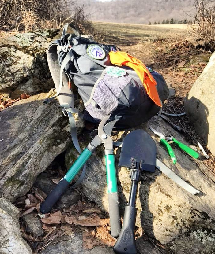
Join the Legacy: Volunteer as a Long Path Trail Maintainer
Help preserve the Long Path for future generations by becoming a Trail Maintainer. Your efforts ensure that hikers continue to enjoy its breathtaking views and serene landscapes. Whether you’re an experienced hiker or new to the trails, your contribution makes a real difference.