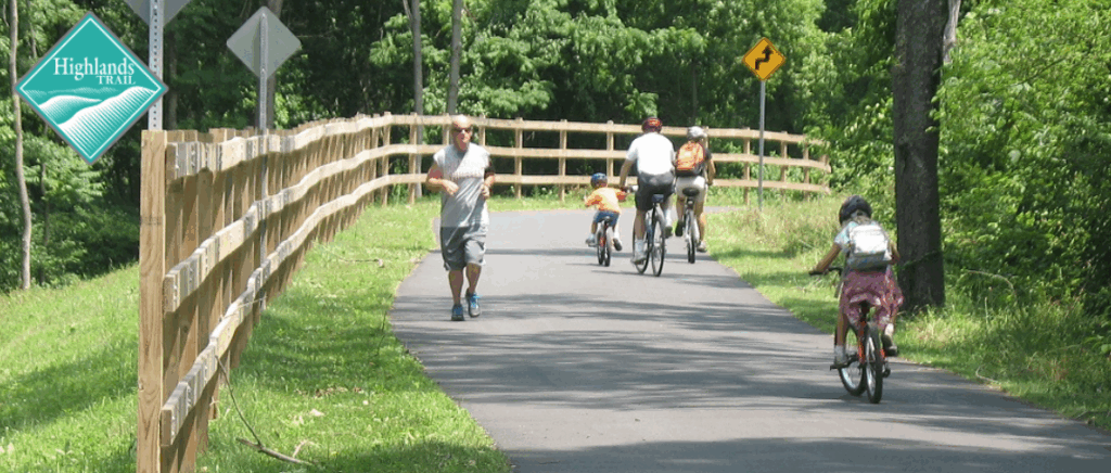
The Highlands Trail
A connected footpath through the rolling forests, rugged ridgelines, and vibrant communities of the Highlands Region.
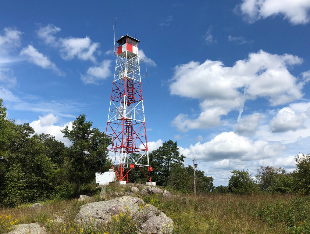
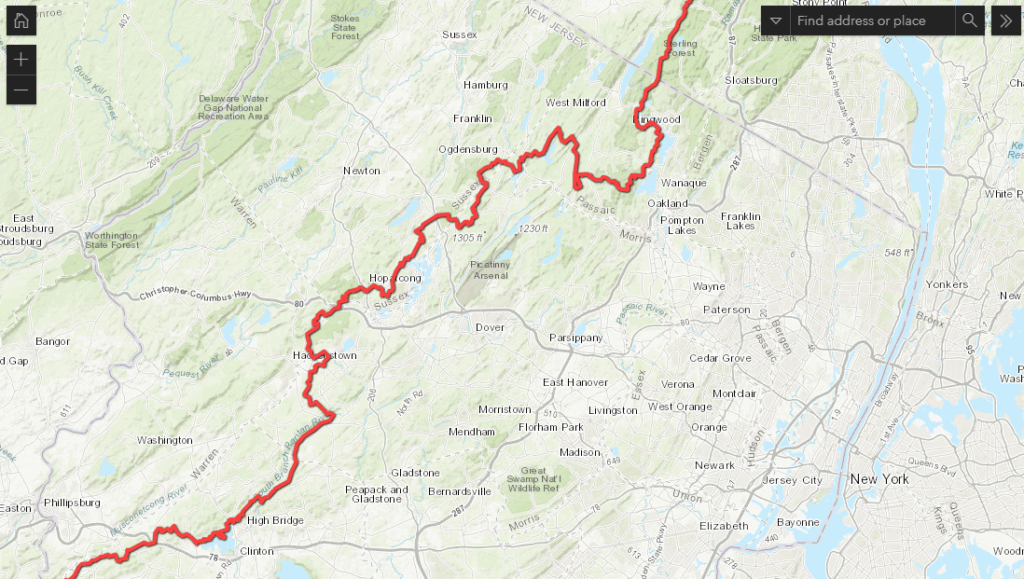
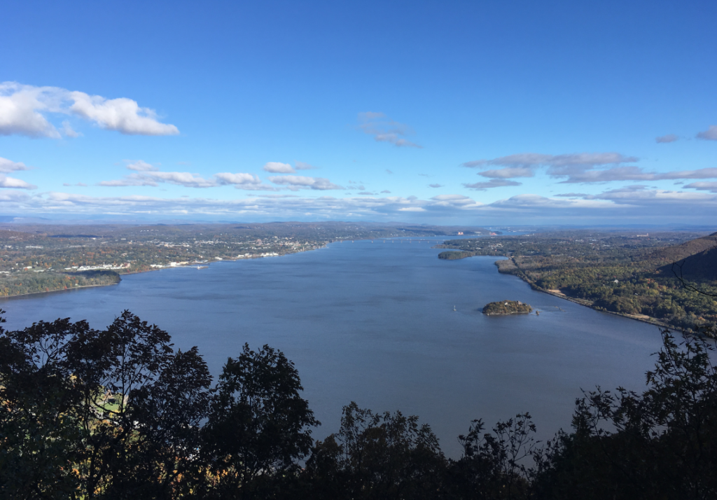
The Highlands Trail extends over 180 miles to connect the Delaware and Hudson Rivers, continuing beyond both into Pennsylvania and Connecticut. It showcases the natural beauty of the local Highlands Region and connects local communities with the incredible recreational opportunities in their own backyards.


The Highlands Trail in New York and New Jersey is built and maintained by partnerships between public land managers, the New York-New Jersey Trail Conference, and people just like you.
Free Highlands Trail Maps from The Trail Conference
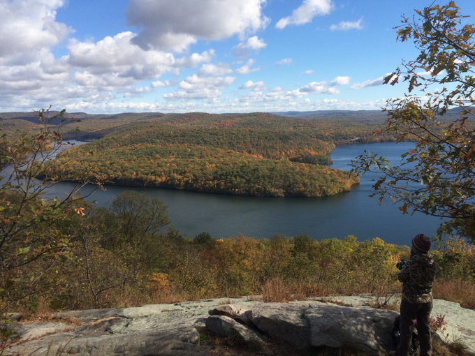
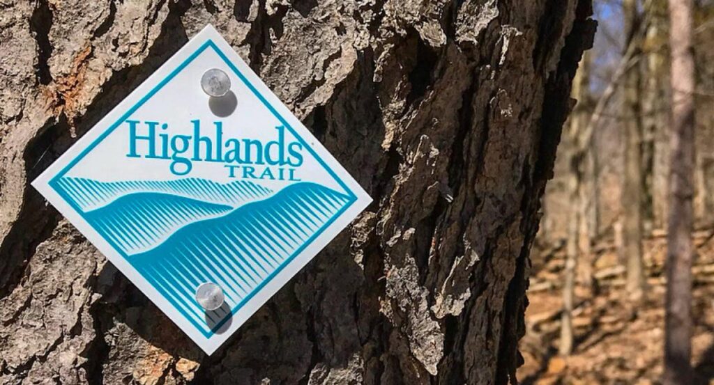
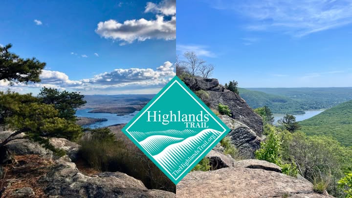
Discover the Highlands Trail
Dive into the natural beauty and rich history of the Highlands Trail in our newly featured article by Zac Cole, published by New Jersey Hills Media. Spanning 180 miles across four states, this scenic trail offers hikers stunning vistas, wildlife corridors, and a deeper connection to conservation efforts. Learn how the New York-New Jersey Trail Conference is working to preserve and expand this iconic trail. Read the Article Here (PDF)
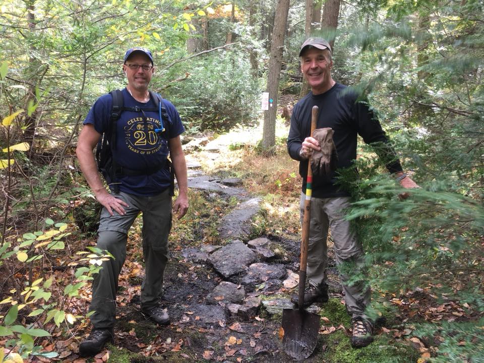
Volunteer
as a Trail Maintainer
Help keep the Highlands Trail beautiful! Our 2,000-plus volunteers build, maintain, and protect trails and care for natural areas all across the region. Your favorite parks and trails need you!
Join

Become a member and protect wild places
Shop

Maps, gear & books, all proceeds support trails
Volunteer

Give back by helping maintain the trails
Donate

Keep trails open and safe with a one-time gift