
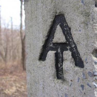
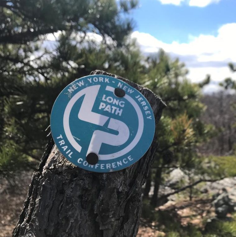
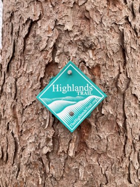
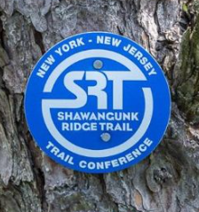
Long Distance Trails
Spectacular long-distance trails are easily accessible throughout New York and New Jersey.
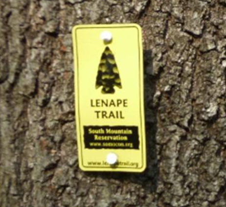
Explore New York and New Jersey’s stunning long-distance trails, perfect for both seasoned hikers and newcomers. Whether hiking in sections or completing an end-to-end journey, these trails offer diverse landscapes, rich history, and a true outdoor challenge. The Trail Conference maintains these iconic routes, providing maps, guides, and resources to support your adventure. Start your journey today!
Join

Become a member and protect wild places
Shop

Maps, gear & books, all proceeds support trails
Volunteer

Give back by helping maintain the trails
Donate

Keep trails open and safe with a one-time gift