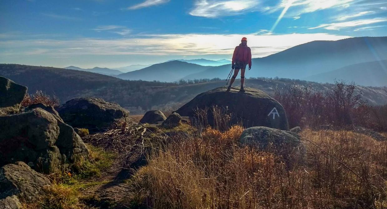
After picking up a trail map and a guide to the Nature Trail (which will be your return route) from a kiosk in the parking area, head northeast, following the white-blazed trail, which is also marked with the teal diamond blazes of the Highlands Trail. The trail soon climbs over a slight rise and then descends. To the left, there are views through the trees of the Musconetcong River gorge....
Hike Description:
After picking up a trail map and a guide to the Nature Trail (which will be your return route) from a kiosk in the parking area, head northeast, following the white-blazed trail, which is also marked with the teal diamond blazes of the Highlands Trail. The trail soon climbs over a slight rise and then descends. To the left, there are views through the trees of the Musconetcong River gorge.
In about half a mile, follow the trail as it bears left onto a woods road and crosses Scout Creek on rocks. Just beyond the stream crossing, the trail bears right, leaving the woods road, and ascends steeply on switchbacks. The grade soon moderates, with the trail continuing to climb along the side of the mountain on a rocky footpath. After passing several huge boulders to the left, the white trail reaches its highest point (920 feet), about a mile from the start. A short distance beyond, a red-blazed trail goes off to the left, but you should continue to follow the white blazes.
Soon, the trail begins a steady descent from the ridge. The teal diamond Highlands Trail blazes eventually end, but you should continue following the white blazes. About a mile and a half from the start, the trail reaches Pine Run. It turns left and follows a rather steep path along the scenic gorge of this rocky stream. After passing a small waterfall, the trail descends very steeply (be careful of your footing in this area) and reaches an abandoned railroad grade - formerly a branch of the Lehigh Valley Railroad that served the paper mill that you passed on the road.
Turn left and follow the railroad grade parallel to the Musconetcong River, visible to the right downhill. The nearly level railbed is a welcome contrast to the rugged, rocky footpaths that you have been following up to now. The white blazes continue along the railbed, but they are less frequently seen. After about half a mile along the railbed, you'll pass a dam that was built to channel the river into a canal to provide power for the mill. Below the dam, the river is divided into a placid canal and a narrower channel in which the water follows its natural course over cascades and rapids. A short distance beyond the dam, you'll pass, to the left, the lower trailhead of the red-blazed trail (you encountered the upper end of this trail earlier on the hike).
After a pleasant walk of about a mile along the railroad grade, the paper mill will come into view to the right. Just beyond, the railroad grade ends (the trestle that formerly connected the railbed with the paper mill has been removed). Here, the white-blazed trail turns left, and it soon ends at a junction with the orange-blazed Nature Trail. Bear right and follow the Nature Trail, soon crossing Scout Creek on a wooden footbridge. The trail now bears right, uphill, then levels off, with a scenic view to the right over the stream below. You'll pass several numbered posts which indicate features of interest described in the Nature Trail brochure.
In about a third of a mile, you'll reach a fork in the trail. Bear left here, then bear sharply left at the next junction (marked by signpost #2) and proceed uphill to return to the parking area.
Turn By Turn Description:
- From the parking area head northeast, following the white-blazed trail [also marked with the teal diamond blazes of the Highlands Trail]
- ½ mile: follow the white-blazed trail as it bears onto a woods road and crosses Scout Creek
- ½ mile: white trail reaches its highest point of 920 feet
- Descend from ridge. Teal diamond blazes end. Continue on white trail.
- ½ mile Pine Run. White trail turns left and steeply descends to abandoned rail bed.
- Turn left and follow the railroad grade [white blazes continue sporadically]
- ½ mile: Dam along rail bed
- 1 mile: a paper mill will come into view.
- Just past mill rail bed ends. Continue to follow White trail which turns left.
- ? mile: Right at junction with Orange nature trail
- ? mile: Cross "Scout Creek"
- 1/3 mile: Bear left at fork, then bear sharply left at next junction marked by signpost 2. Proceed uphill to return to the parking area.


This loop hike combines a rugged traverse of a wooded ridge with a pleasant walk along an abandoned railroad parallel to the scenic Musconetcong River.
Hike Checklist:
Whether you are going for a day hike or backpacking overnight, it is good practice to carry what we call The Hiking Essentials. These essentials will help you enjoy your outing more and will provide basic safety gear if needed. There may also be more essentials, depending on the season and your needs.
The Essentials
Hiking Shoes or Boots
Water - Two quarts per person is recommended in every season. Keep in mind that fluid loss is heightened in winter as well as summer. Don't put yourself in the position of having to end your hike early because you have run out of water.
Map - Know where you are and where you are going. Many of our hiking areas feature interconnecting network of trails. Use a waterproof/tear-resistant Tyvek Trail Conference map if available or enclose your map in a Ziplock plastic bag. If you have a mobile device, download Avenza’s free PDF Maps app and grab some GPS-enhanced Trail Conference maps (a backup Tyvek or paper version of the map is good to have just in case your batteries die or you don't have service). Check out some map-reading basics here.
Food - Snacks/lunch will keep you going as you burn energy walking or climbing. Nuts, seeds, and chocolate are favorites on the trail.
Sunscreen and insect repellent
Rain Gear and Extra Clothing - Rain happens. So does cold. Be prepared for changing weather. Avoid cotton--it traps water against your skin and is slow to dry. If you are wearing wet cotton and must return to your starting point, you risk getting chills that may lead to a dangerous hypothermia. Choose synthetic shirts, sweaters and/or vests and dress in layers for easy on and off.
Compass - A simple compass is all you need to orient you and your map to magnetic north.
Light - A flashlight or small, lightweight headlamp will be welcome gear if you find yourself still on the trail when darkness falls. Check the batteries before you start out and have extras in your pack.
First Aid Kit - Keep it simple, compact, and weatherproof. Know how to use the basic components.
Firestarter and Matches - In an emergency, you may need to keep yourself or someone else warm until help arrives. A firestarter (this could be as simple as leftover birthday candles that are kept inside a waterproof container) and matches (again, make sure to keep them in a waterproof container) could save a life.
Knife or Multi-tool - You may need to cut a piece of moleskin to put over a blister, repair a piece of broken equipment, or solve some other unexpected problem.
Emergency Numbers - Know the emergency numbers for the area you're going to and realize that in many locations--especially mountainous ones, your phone will not get reception.
Common Sense - Pay attention to your environment, your energy, and the condition of your companions. Has the weather turned rainy? Is daylight fading? Did you drink all your water? Did your companion fail to bring rain gear? Are you getting tired? Keep in mind that until you turn around you are (typically) only half-way to completing your hike--you must still get back to where you started from! (Exceptions are loop hikes.)
Check the weather forecast before you head out. Know the rules and regulations of the area.
The Leave No Trace Seven Principles
Plan Ahead and Prepare
- Know the regulations and special concerns for the area you'll visit.
- Prepare for extreme weather, hazards, and emergencies.
- Schedule your trip to avoid times of high use.
- Visit in small groups when possible. Consider splitting larger groups into smaller groups.
- Repackage food to minimize waste.
- Use a map and compass to eliminate the use of marking paint, rock cairns or flagging.
Travel and Camp on Durable Surfaces
- Durable surfaces include established trails and campsites, rock, gravel, dry grasses or snow.
- Protect riparian areas by camping at least 200 feet from lakes and streams.
- Good campsites are found, not made. Altering a site is not necessary.
- In popular areas:
- Concentrate use on existing trails and campsites.
- Walk single file in the middle of the trail, even when wet or muddy.
- Keep campsites small. Focus activity in areas where vegetation is absent.
- In pristine areas:
- Disperse use to prevent the creation of campsites and trails.
- Avoid places where impacts are just beginning.
- Pack it in, pack it out. Inspect your campsite and rest areas for trash or spilled foods. Pack out all trash, leftover food and litter.
- Deposit solid human waste in catholes dug 6 to 8 inches deep, at least 200 feet from water, camp and trails. Cover and disguise the cathole when finished.
- Pack out toilet paper and hygiene products.
- To wash yourself or your dishes, carry water 200 feet away from streams or lakes and use small amounts of biodegradable soap. Scatter strained dishwater.
- Preserve the past: examine, but do not touch cultural or historic structures and artifacts.
- Leave rocks, plants and other natural objects as you find them.
- Avoid introducing or transporting non-native species.
- Do not build structures, furniture, or dig trenches.
- Campfires can cause lasting impacts to the backcountry. Use a lightweight stove for cooking and enjoy a candle lantern for light.
- Where fires are permitted, use established fire rings, fire pans, or mound fires.
- Keep fires small. Only use sticks from the ground that can be broken by hand.
- Burn all wood and coals to ash, put out campfires completely, then scatter cool ashes.
- Observe wildlife from a distance. Do not follow or approach them.
- Never feed animals. Feeding wildlife damages their health, alters natural behaviors, and exposes them to predators and other dangers.
- Protect wildlife and your food by storing rations and trash securely.
- Control pets at all times, or leave them at home.
- Avoid wildlife during sensitive times: mating, nesting, raising young, or winter.
Be Considerate of Other Visitors
- Respect other visitors and protect the quality of their experience.
- Be courteous. Yield to other users on the trail.
- Step to the downhill side of the trail when encountering pack stock.
- Take breaks and camp away from trails and other visitors.
- Let nature's sounds prevail. Avoid loud voices and noises.
The Trail Conference is a 2015 Leave No Trace partner.
(c) Leave No Trace Center for Outdoor Ethics: www.LNT.org.