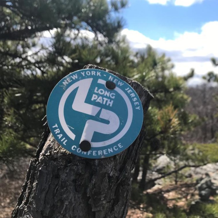
The Long Path
An extraordinary hiking journey from New York City to the Adirondacks.
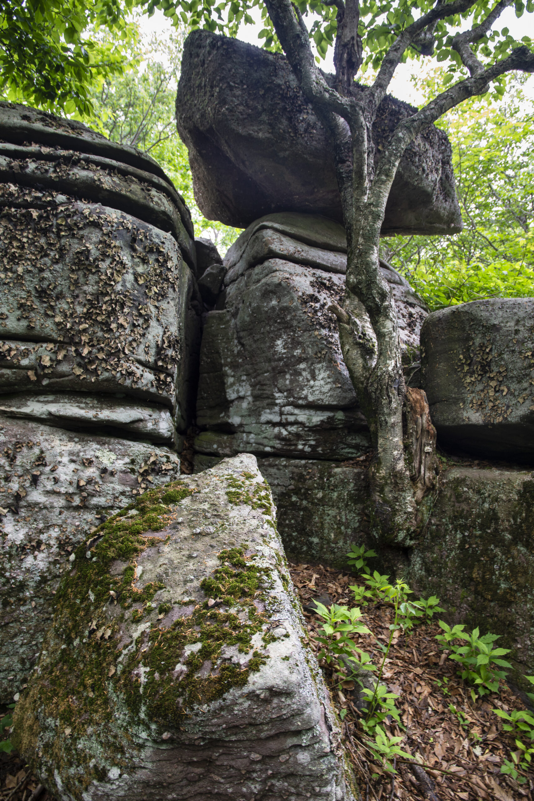
The Long Path is a premier 358-mile long-distance trail that stretches from the George Washington Bridge in New York City to the rugged wilderness of upstate New York, inviting adventurers on a unique journey through New York State’s scenic landscapes and rich cultural history.
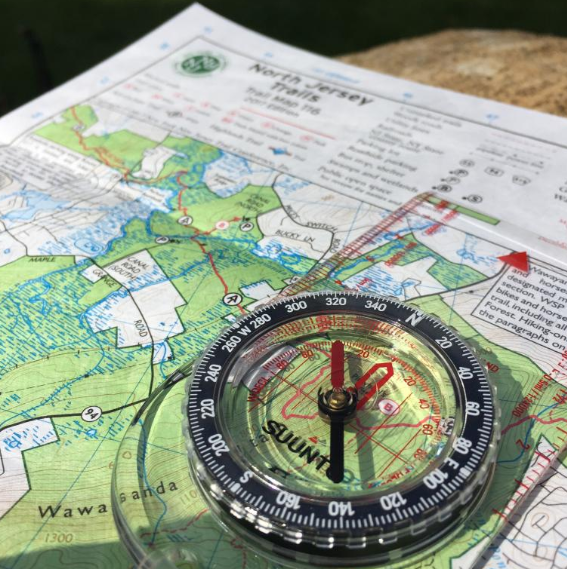
For over 50 years, the New York-New Jersey Trail Conference has led the way in protecting this iconic long-distance trail, working side-by-side with our partners and volunteers to ensure its continued improvement, growth, and preservation. Use the resources below to learn more about the Long Path and navigate the trail with our detailed maps and information.


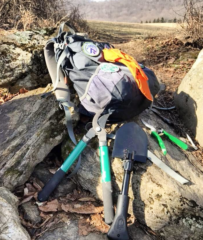
Join the Legacy: Volunteer as a Long Path Trail Maintainer
Help preserve this premier long-distance trail for future generations by becoming a Trail Maintainer. Your efforts ensure that hikers continue to enjoy its breathtaking views and serene landscapes. Whether you’re an experienced hiker or new to the trails, your contribution makes a real difference.